PAN MAPS page 2
301 historic pictures in the PAN MAPS collection, in 53 sections, part of Subjects. Each one can be ordered as a print or licensed, and the collection is a starting point for telling stories about the past.
Open the interactive boardMidwest (DAKOTAS IA ID IL IN KS MI MN MO MT NE OH WI) · MN · Reduced
Midwest (DAKOTAS IA ID IL IN KS MI MN MO MT NE OH WI) · MO · Reduced
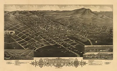
Midwest (DAKOTAS IA ID IL IN KS MI MN MO MT NE OH WI) · MT · Bookmark · Bookmark Image
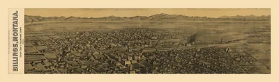
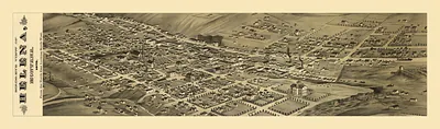
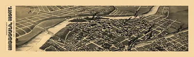
Midwest (DAKOTAS IA ID IL IN KS MI MN MO MT NE OH WI) · MT · Reduced
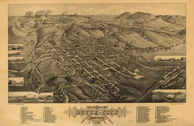
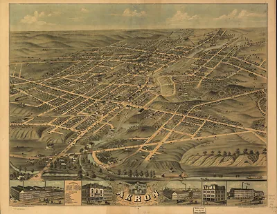
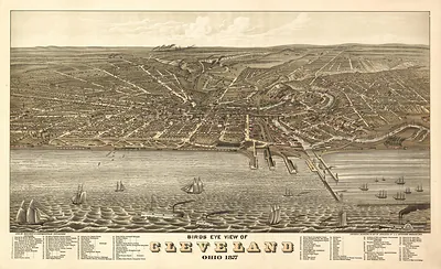
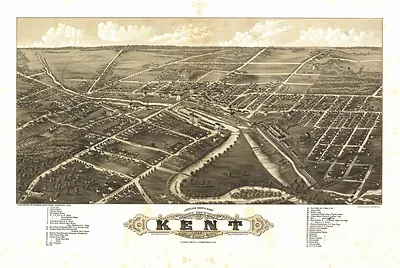
Midwest (DAKOTAS IA ID IL IN KS MI MN MO MT NE OH WI) · OH · Reduced
Midwest (DAKOTAS IA ID IL IN KS MI MN MO MT NE OH WI) · WI · Reduced
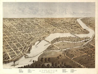 WI Appleton 1867 MAP (1867)
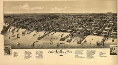 WI Ashland 1886 MAP (1886)
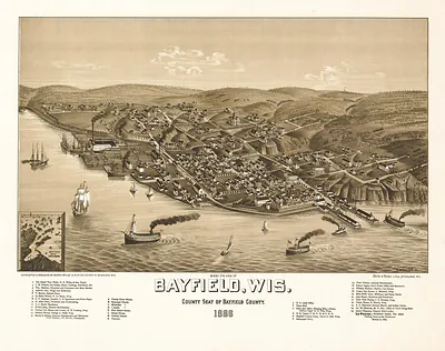 WI Bayfield 1886 MAP (1886)
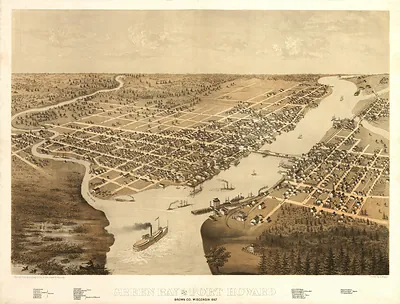 WI Green Bay 1867 MAP (1867)
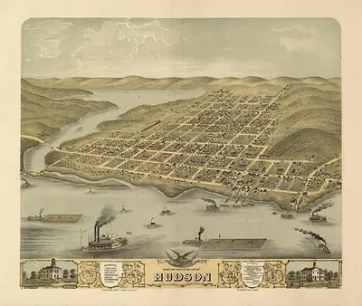 WI Hudson 1870 MAP (1870)
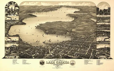 WI Lake Geneva 1882 MAP (1882)
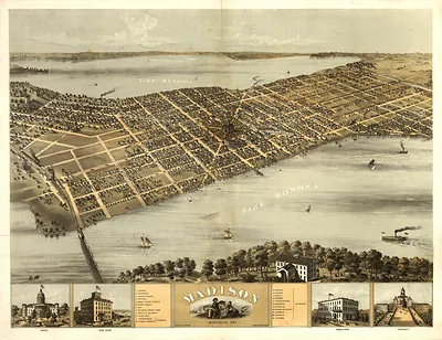 WI Madison 1867 MAP (1867)
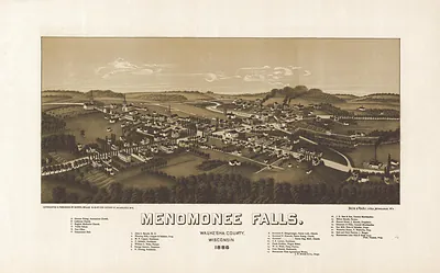 WI Menomonee 1886 MAP (1886)
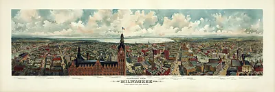 WI Milwaukee 1898 MAP (1898)
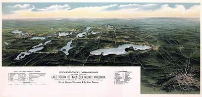 WI Oconomowoc Waukesha 1885 MAP (1885)
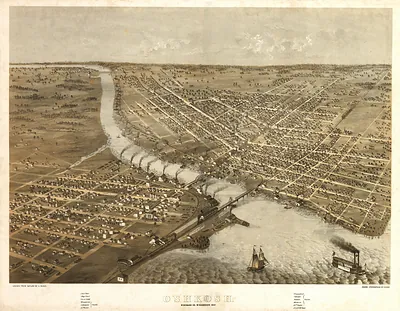 WI Oshkosh 1867 MAP (1867)
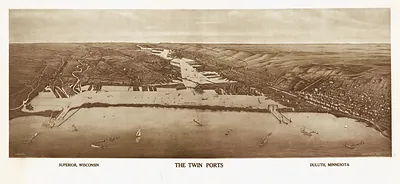 WI Superior Duluth MAP (1915)
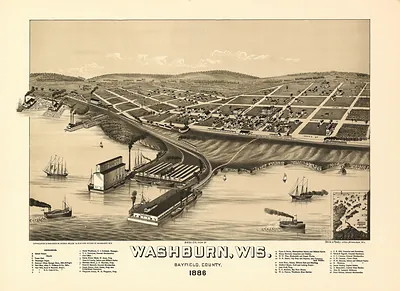 WI Washburn 1886 MAP (1886)
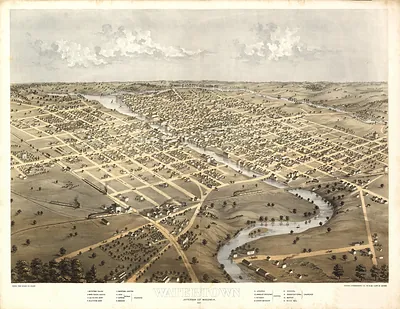 WI Watertown 1867 MAP (1867)
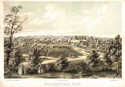 WI Waukesha 1857 MAP (1857)
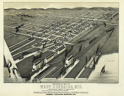 WI West Superior 1887 MAP (1887)
New England (CT MA ME NH RI VT) · CT · Bookmark · Bookmark Image
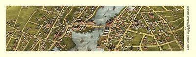
New England (CT MA ME NH RI VT) · CT · Reduced
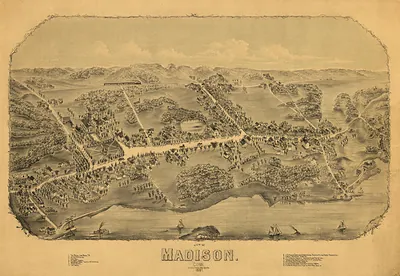
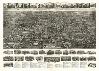
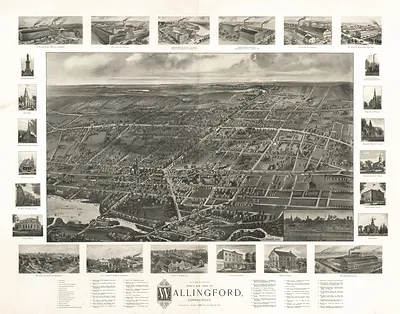
New England (CT MA ME NH RI VT) · MA · Bookmark · Cape Cod
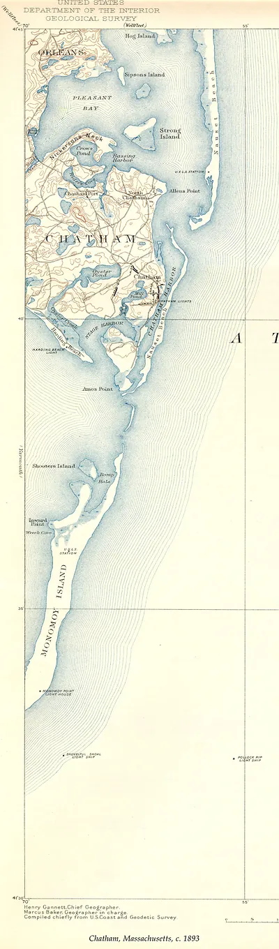 MA-Chatham USGS (1893)
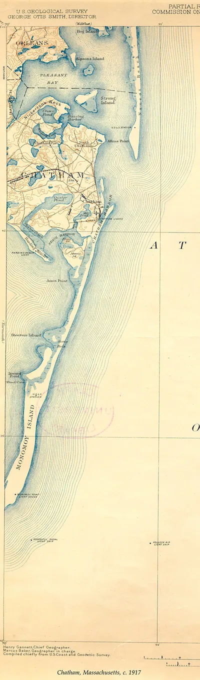 Chatham, Massachusetts, c. 1917 (1917)
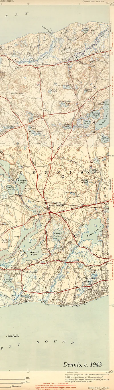 Dennis, Massachusetts USGS topographic map, 1943 (1943)
New England (CT MA ME NH RI VT) · MA · Bookmark · Maps · Full
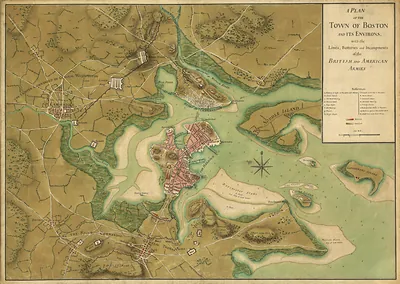 A Plan of the Town of Boston and its Environs
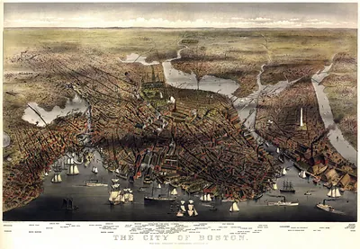 MA Boston 1873 (1873)
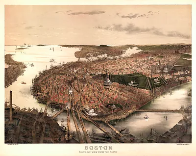 Boston, Bird's-eye View from the North
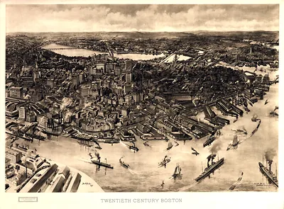 MA Boston 1905 (1905)
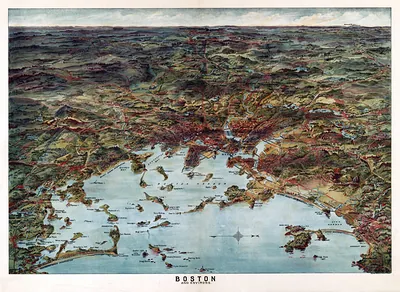 Boston and Environs, bird's-eye pictorial map (1905)
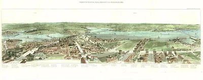 MA-Cambridge-Charles River-1853
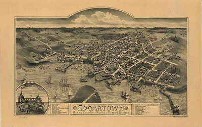 MA Edgartown 1886 (1886)
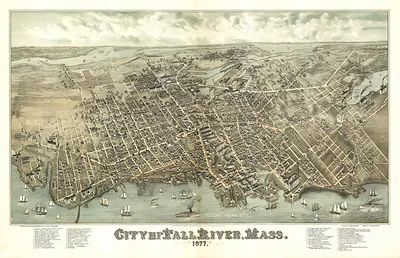 MA Fall River 1877 (1877)
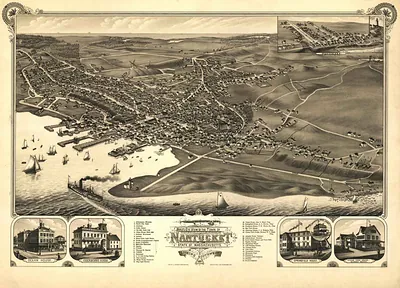 MA Nantucket 1881 (1881)
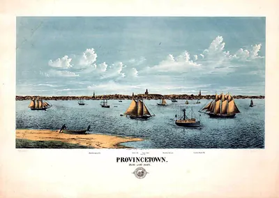 MA-Provincetown-1877 (1877)
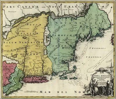 New England 1700 s
New England (CT MA ME NH RI VT) · MA · MA Cape Cod · Reduced
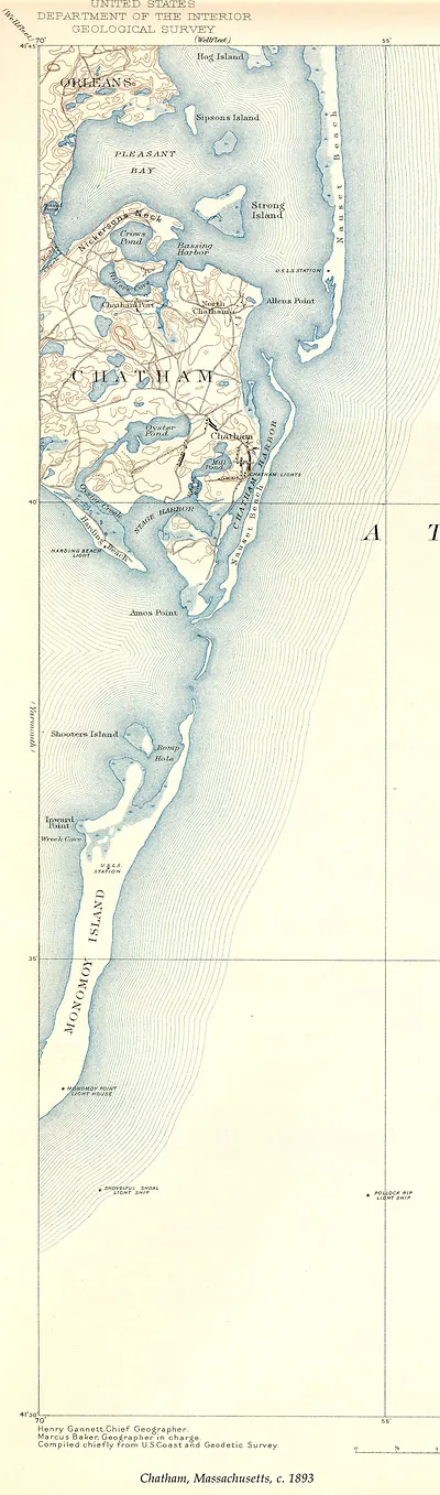 Chatham USGS, Massachusetts, 1893 (1893)
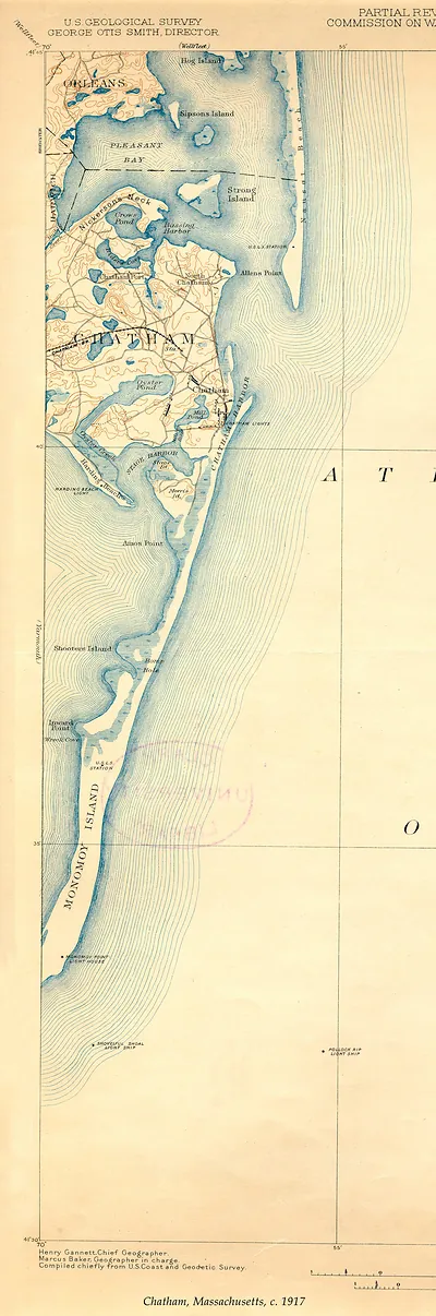 Chatham USGS, Massachusetts, 1917 (1917)
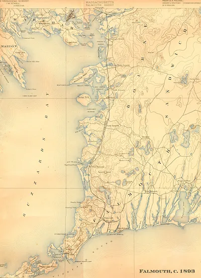 Falmouth USGS, Massachusetts, 1893 (1893)
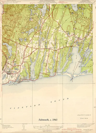 Falmouth USGS, Massachusetts, 1941 (1941)
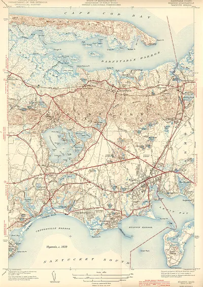 Hyannis USGS, Massachusetts, 1939 (1939)
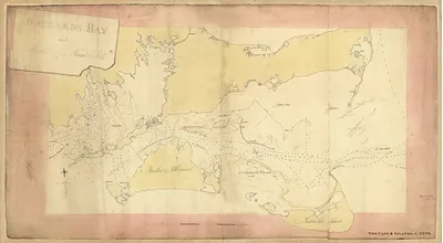 MA Cape and Islands 1778-reduced
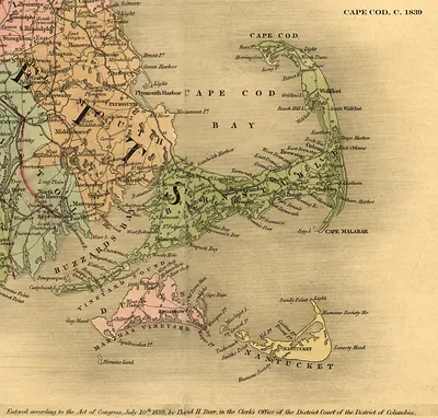 Cape Cod and Nantucket map, 1839 (1839)
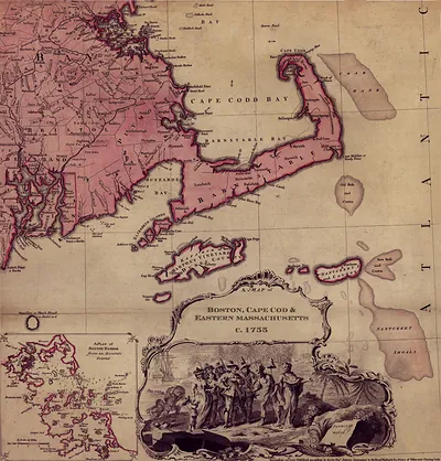 MA Cape Cod Thos Jefferys 1755
New England (CT MA ME NH RI VT) · MA · Reduced
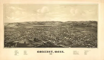 MA Amherst 1886 (1886)
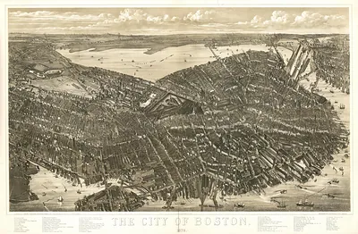 MA Boston 1879 (1879)
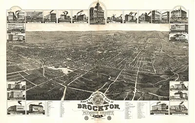 MA Brockton 1882 (1882)
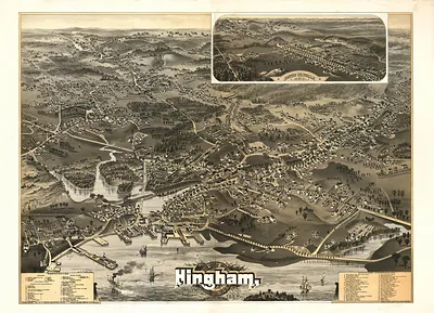 MA Hingham 1885 (1885)
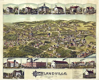 MA Needham Heights 1887 (1887)
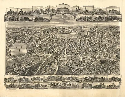 MA Newton Center 1897 (1897)
New England (CT MA ME NH RI VT) · ME · Reduced
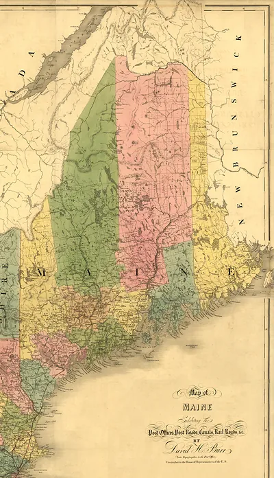
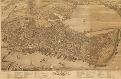
New England (CT MA ME NH RI VT) · NH · Reduced
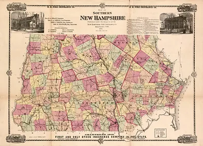 Southern New Hampshire, published by New Hampshire Fire Insurance Co., 1871 (1871)
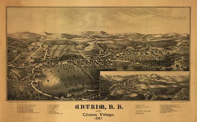 NH Antrim 1887 MAP (1887)
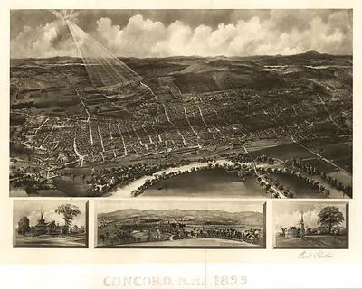 NH Concord 1899 MAP (1899)
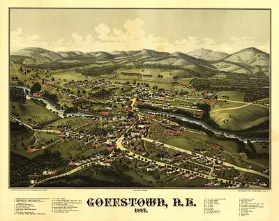 NH Goffstown 1887 MAP (1887)
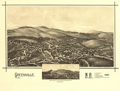 NH Greenville 1886 MAP (1886)
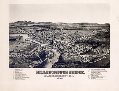 NH Hillsborough Bridge 1884 MAP (1884)
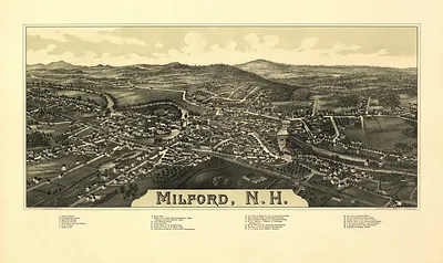 NH Milford 1886 MAP (1886)
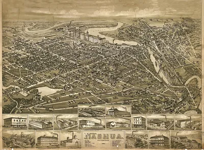 NH Nashua 1883 MAP (1883)
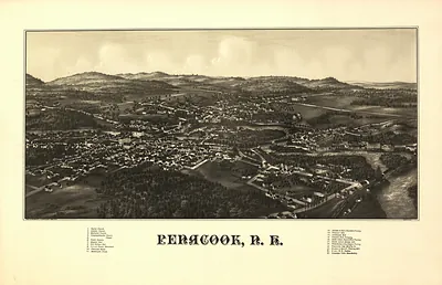 NH Penacook 1887 MAP (1887)
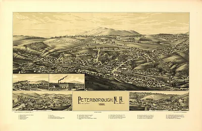 NH Peterborough 1886 MAP (1886)
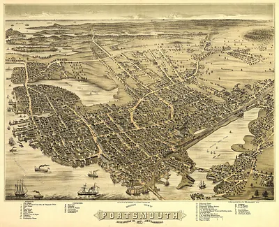 NH Portsmouth 1877 MAP (1877)
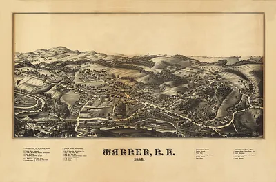 NH Warner 1884 MAP (1884)
New England (CT MA ME NH RI VT) · RI · Reduced
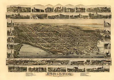 RI Bristol 1891 MAP (1891)
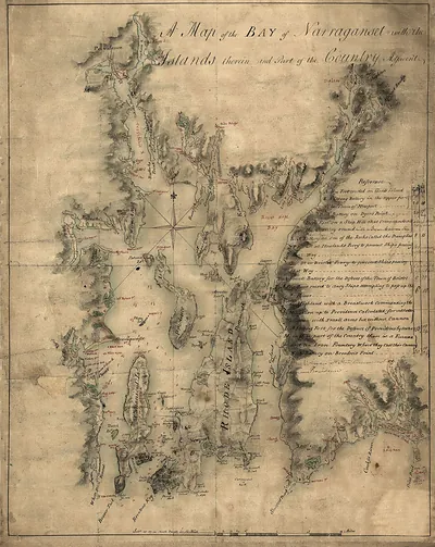 RI-Narraganset Bay 1777
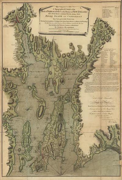 A Topographical Chart of the Bay of Narraganset in the Province of New England
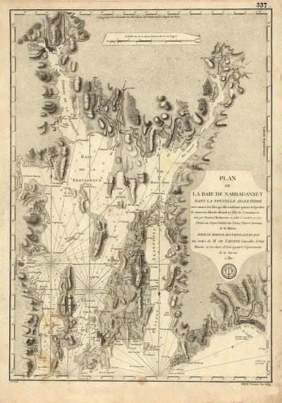 Plan de la Baie de Narraganset dans la Nouvelle Angleterre, 1780
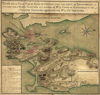 Plan de la Ville, Port et Rade de Newport, Rhode Island
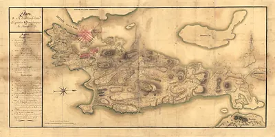 RI-Newport 1780b
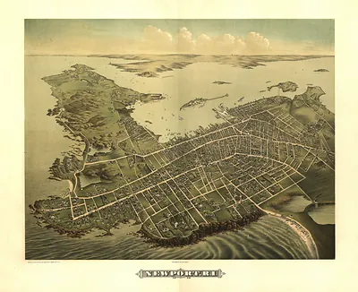 RI Newport 1878 MAP (1878)
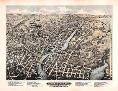 RI Pawtucket Central Falls MAP (1877)
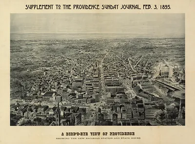 RI Providence 1895 MAP (1895)
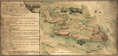 RI-Rhode Island 1778
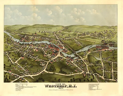 RI Westerly 1877 MAP (1877)
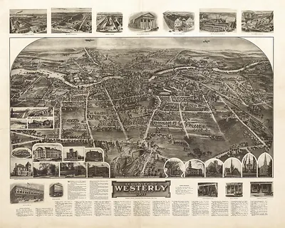 Aero View of Westerly, Rhode Island, 1911 (1911)
New England (CT MA ME NH RI VT) · VT · Reduced
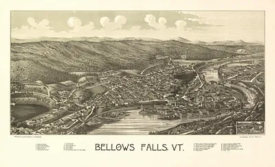 VT Bellows Falls 1886 MAP (1886)
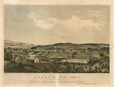 VT Ludlow 1859 MAP (1859)
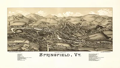 VT Springfield 1886 MAP (1886)
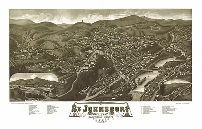 VT St. Johnsbury 1884 MAP (1884)
South (AL AR FL GA KY LA MS NC OK SC TN TX VA) · AL · Other AL Maps · Reduced
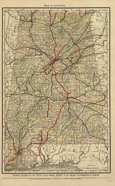 Map of Alabama FL (1888)
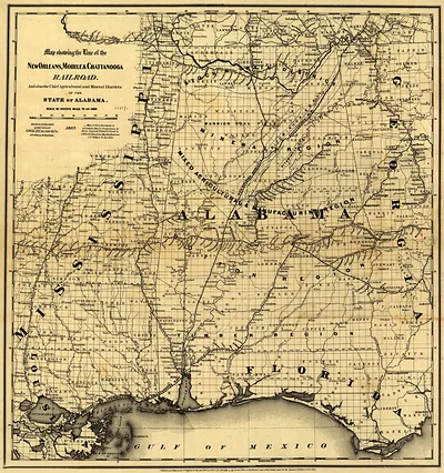 Map showing the line of the New Orleans, Mobile & Chattanooga Railroad
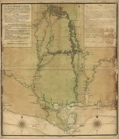 Carte Particulière d'une partie de la Louisiane ou du Fleuve Mississipi
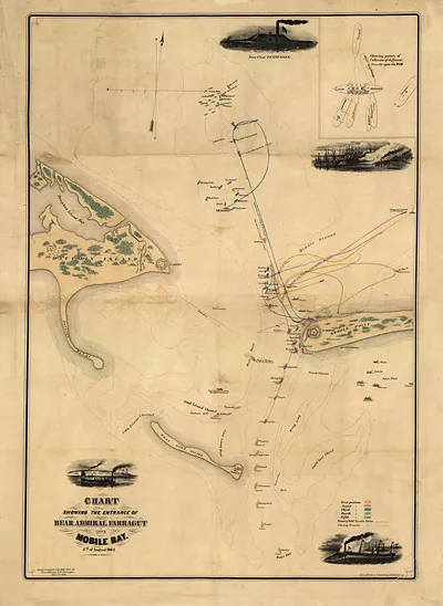 Mobile Bay
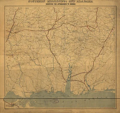 Southern Mississippi and Alabama showing the approaches to Mobile., Alabama, 1863 (1863)
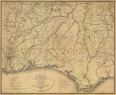 Military Map of the Confederate States and the Gulf (1863)
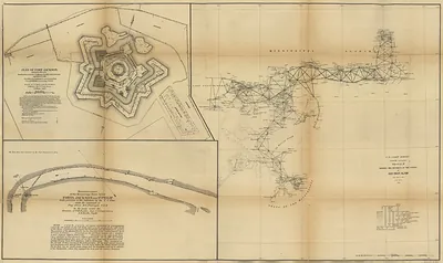 Triangulation network from Mobile Bay by the Mississippi River delta1862
South (AL AR FL GA KY LA MS NC OK SC TN TX VA) · AL · Reduced
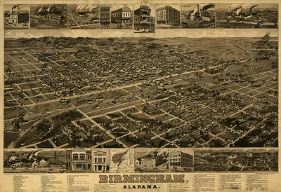
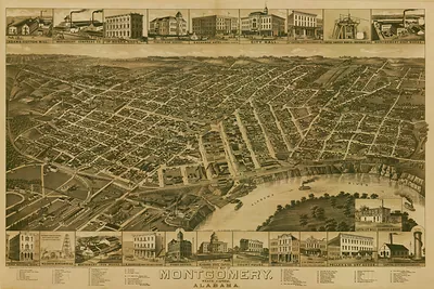
South (AL AR FL GA KY LA MS NC OK SC TN TX VA) · FL · Bookmark · Bookmark Image
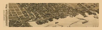
South (AL AR FL GA KY LA MS NC OK SC TN TX VA) · FL · Bookmark · Full
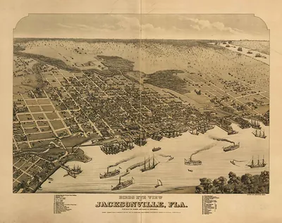
South (AL AR FL GA KY LA MS NC OK SC TN TX VA) · FL · Reduced
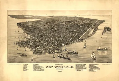 FL Key West 1884 MAP (1884)
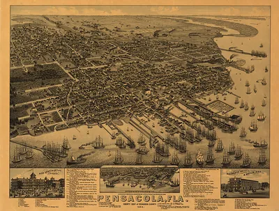 FL Pensacola 1885 MAP (1885)
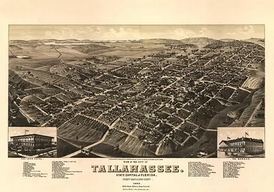 View of the City of Tallahassee, State Capital of Florida, 1885 (1885)
South (AL AR FL GA KY LA MS NC OK SC TN TX VA) · GA · Bookmark · Bookmark Image
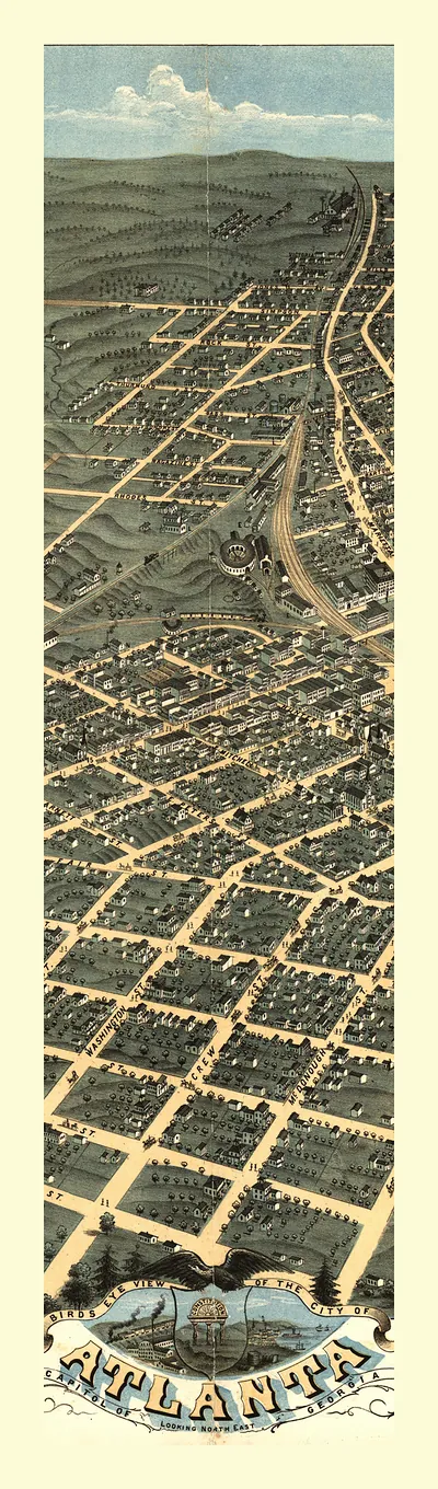
South (AL AR FL GA KY LA MS NC OK SC TN TX VA) · GA · Bookmark · Full
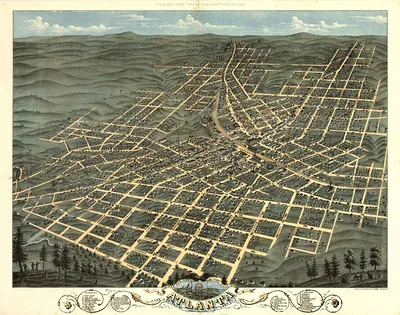
South (AL AR FL GA KY LA MS NC OK SC TN TX VA) · GA · Reduced
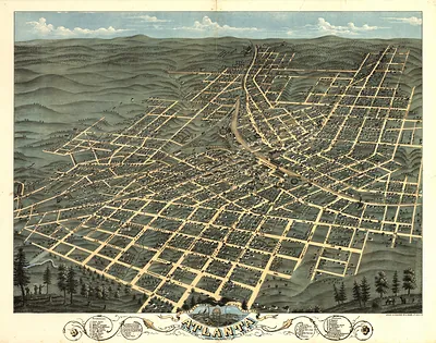 GA Atlanta 1871 MAP (1871)
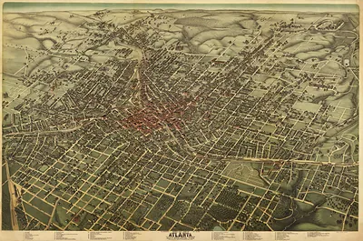 GA Atlanta 1892 MAP (1892)
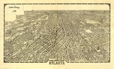 Atlanta, Georgia bird's-eye view map, c. 1879 (1919)
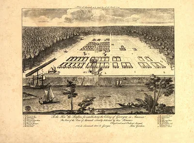 A View of Savannah as it stood the 29th of March 1734 (1734)
South (AL AR FL GA KY LA MS NC OK SC TN TX VA) · KY · Reduced
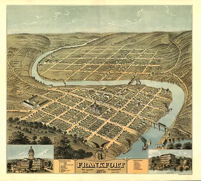 KY Frankfort 1871 MAP (1871)
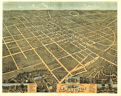 KY Lexington 1871 MAP (1871)
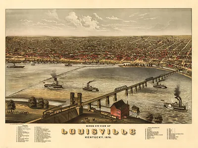 KY Louisville 1876 MAP (1876)
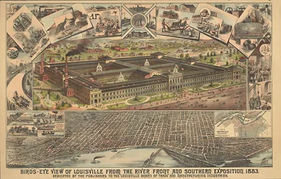 KY Louisville 1883 MAP (1883)
South (AL AR FL GA KY LA MS NC OK SC TN TX VA) · NC · Reduced
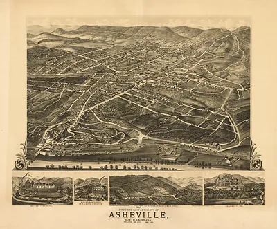 NC Asheville 1891 MAP (1891)
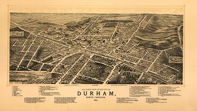 NC Durham 1891 MAP (1891)
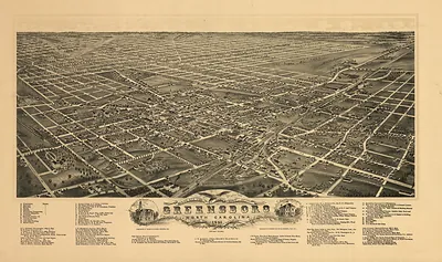 NC Greensboro 1891 MAP (1891)
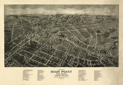 NC High Point 1913 MAP (1913)
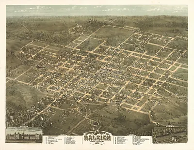 NC Raleigh 1872 MAP (1872)
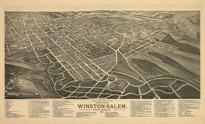 NC Winston Salem 1891 MAP (1891)