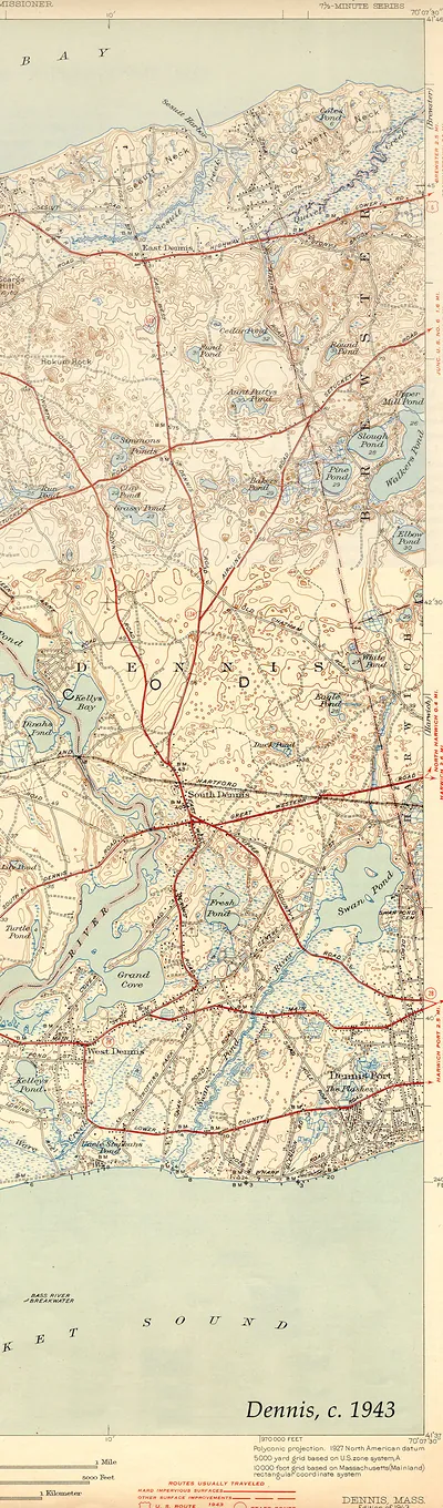
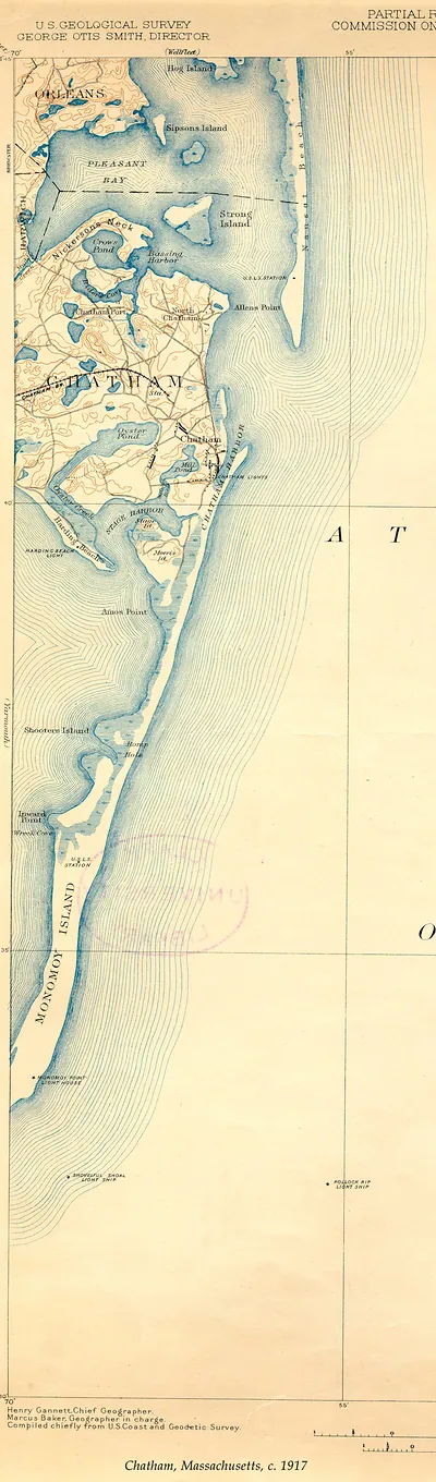
Falmouth USGS, Massachusetts, 1941 – Antique Wall Map

(Each image is professionally and digitally cleaned of artifacts such as color bars and extra borders prior to printing.)
Description
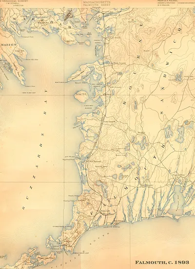
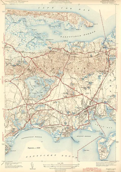
A window into the past: Falmouth USGS, Massachusetts, 1941, preserved in this antique map. Drawn from the Snapshots of the Past archive, it is an authentic piece of documented history.
The framed print arrives ready to hang; the unframed option suits custom framing. Perfect for a home, office, library or classroom wall, and a gift with a story behind it. Free shipping in the lower 48 states. Snapshots of the Past has been bringing history to the wall since 2001, for tens of thousands of customers worldwide.
Falmouth USGS, Massachusetts, 1941
Order a print
Thank you. Your order went through, and a receipt is on its way by email.
Secure checkout · SSL encryptedPowered by Stripe and PayPal
Free shipping in the lower 48 states. The checkout page shows the picture, size and price before you pay.
Falmouth sits at the southwestern edge of Cape Cod, where salt marshes and harbors open onto Vineyard Sound, and this map shows the town from a high oblique angle, as if from above and to the south. The U.S. Geological Survey issued a series of these bird's-eye panoramas in the 1930s and 1940s, rendering towns and their surrounding coasts in three-dimensional perspective. Such views were useful to planners, mariners and residents who wanted to see how the streets, shoreline and village centers related to one another at a glance. Compared with the flat topographic sheets the Survey was known for, the panorama trades precise contour lines for a more intuitive picture of the landscape.
| Created / published | 1941 |
|---|---|
| Notes | Bird's-eye view map. |
| Subjects | Panoramic maps--Massachusetts |
| Original scan | 3,300 × 4,580 px · prints to 11 × 15 in at 300 dpi |
| Reference | Falmouth USGS 1941 |
More from the PAN MAPS collection
Snapshots of the Past helps heritage brands, museums, historians and storytellers tell stories with history: historic prints, image licensing and historical storytelling drawn from more than 25 years of research and curation.