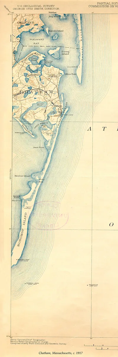
Chatham, Massachusetts, c. 1917 – Vintage Map Wall Art

(Each image is professionally and digitally cleaned of artifacts such as color bars and extra borders prior to printing.)
Description
Step back in time with Chatham, Massachusetts, c. 1917, an antique map rich in period detail. Drawn from the Snapshots of the Past archive, it is an authentic piece of documented history.
Order it framed and ready to hang, or unframed to match a frame you already love. It brings character to any room and makes a memorable gift. Free shipping in the lower 48 states. Snapshots of the Past has been bringing history to the wall since 2001, for tens of thousands of customers worldwide.
Chatham, Massachusetts, c. 1917
Order a print
Thank you. Your order went through, and a receipt is on its way by email.
Secure checkout · SSL encryptedPowered by Stripe and PayPal
Free shipping in the lower 48 states. The checkout page shows the picture, size and price before you pay.
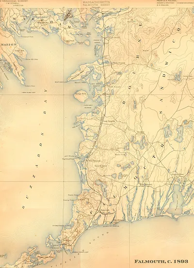
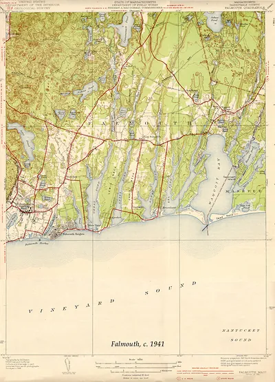
Chatham sits at the elbow of Cape Cod, and a 1917 view of the town catches it at a moment when the sea and the Cape's fishing and shipping trade still shaped daily life there. The place had long relied on its position at the outer edge of the peninsula, where vessels rounded the Cape and where a lighthouse and lifesaving station kept watch over dangerous shoals. By the time of this picture, summer visitors were beginning to arrive by rail and steamer, adding a new layer to the village's older working character. Because the record gives few specifics, the scene is best read as a snapshot of a small Cape town in the years of the First World War.
| Created / published | 1917 |
|---|---|
| Original scan | 750 × 2,550 px · prints to 2 × 8 in at 300 dpi |
| Reference | MA-Chatham USGS 1917 |
More from the PAN MAPS collection
Snapshots of the Past helps heritage brands, museums, historians and storytellers tell stories with history: historic prints, image licensing and historical storytelling drawn from more than 25 years of research and curation.