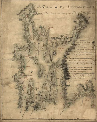
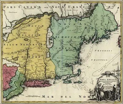
A Topographical Chart of the Bay of Narraganset in the Province of New England – Vintage Map Wall Art

(Each image is professionally and digitally cleaned of artifacts such as color bars and extra borders prior to printing.)
Description
This rare antique map captures A Topographical Chart of the Bay of Narraganset in the Province of New England in remarkable detail. It comes from the Snapshots of the Past collection, curated over 25 years for its historical value.
Framed, it is ready for the wall; unframed, it is ready for the frame you choose. Perfect for a home, office, library or classroom wall, and a gift with a story behind it. Free shipping in the lower 48 states. Since 2001, Snapshots of the Past has shipped historic prints to tens of thousands of customers around the world.
A Topographical Chart of the Bay of Narraganset in the Province of New England
Order a print
Thank you. Your order went through, and a receipt is on its way by email.
Secure checkout · SSL encryptedPowered by Stripe and PayPal
Free shipping in the lower 48 states. The checkout page shows the picture, size and price before you pay.
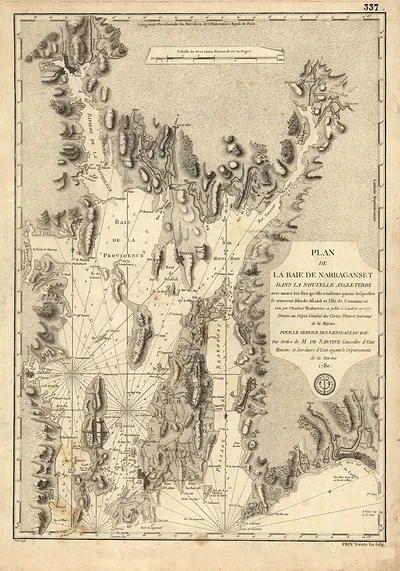
This chart covers the whole of Narragansett Bay, the broad inlet of the Atlantic that reaches north into Rhode Island, and its title places the bay within the Province of New England, a label that reflects how colonial boundaries were understood at the time. Its islands, including Aquidneck (Rhode Island) and Conanicut, and the harbors of Newport and Providence made the bay strategically important for trade and naval operations. Charts like this were used to guide ships through shoal waters and to plan coastal movements, a role that grew more pressing during the Revolutionary War, when British forces held Newport for several years. Look closely at the soundings and coastal detail to see how carefully surveyors recorded the shoreline.
| Original scan | 3,124 × 4,622 px · prints to 10 × 15 in at 300 dpi |
|---|---|
| Reference | RI-Narraganset Bay 1777a |
More from the PAN MAPS collection
Snapshots of the Past helps heritage brands, museums, historians and storytellers tell stories with history: historic prints, image licensing and historical storytelling drawn from more than 25 years of research and curation.