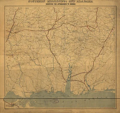
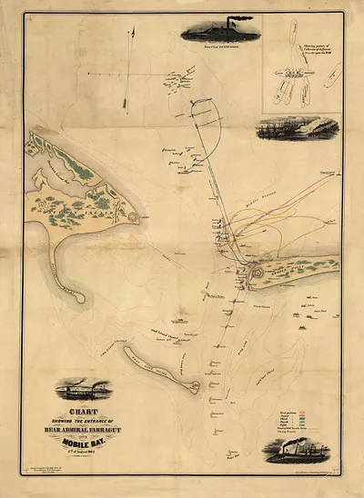
Triangulation network from Mobile Bay by the Mississippi River delta1862 – Antique Wall Map

(Each image is professionally and digitally cleaned of artifacts such as color bars and extra borders prior to printing.)
Description
Step back in time with Triangulation network from Mobile Bay by the Mississippi River delta1862, an antique map rich in period detail. It comes from the Snapshots of the Past collection, curated over 25 years for its historical value.
The framed print arrives ready to hang; the unframed option suits custom framing. Perfect for a home, office, library or classroom wall, and a gift with a story behind it. Free shipping in the lower 48 states. Snapshots of the Past, founded in 2001, has served tens of thousands of customers worldwide.
Triangulation network from Mobile Bay by the Mississippi River delta1862
Order a print
Thank you. Your order went through, and a receipt is on its way by email.
Secure checkout · SSL encryptedPowered by Stripe and PayPal
Free shipping in the lower 48 states. The checkout page shows the picture, size and price before you pay.
Mobile Bay and the Mississippi delta anchor this survey, which links the two places through a chain of triangles so surveyors could fix positions along the Gulf coast. Triangulation of this kind formed the framework for nineteenth-century coastal charting, since every harbor, shoal and channel had to be located against measured baselines. Dated 1862, the sheet appeared as Union forces pressed into the Gulf. New Orleans fell that April, while Mobile Bay stayed in Confederate hands until 1864, so accurate charts of these waters carried real military weight.
| Original scan | 5,044 × 3,005 px · prints to 17 × 10 in at 300 dpi |
|---|---|
| Reference | Triangulation network from Mobile Bay by the Mississippi River delta1862 |
More from the PAN MAPS collection
Snapshots of the Past helps heritage brands, museums, historians and storytellers tell stories with history: historic prints, image licensing and historical storytelling drawn from more than 25 years of research and curation.