Mobile Bay – Vintage Map Wall Art

(Each image is professionally and digitally cleaned of artifacts such as color bars and extra borders prior to printing.)
Description
A window into the past: Mobile Bay, preserved in this antique map. It is part of the Snapshots of the Past archive, gathered over 25 years of research.
Choose the framed print, ready to hang the day it arrives, or the unframed print for a frame of your own. A conversation-starting piece for home, office, or as a meaningful gift. Free shipping in the lower 48 states. Snapshots of the Past, founded in 2001, has served tens of thousands of customers worldwide.
Mobile Bay
Order a print
Thank you. Your order went through, and a receipt is on its way by email.
Secure checkout · SSL encryptedPowered by Stripe and PayPal
Free shipping in the lower 48 states. The checkout page shows the picture, size and price before you pay.
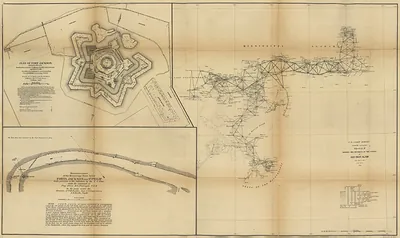
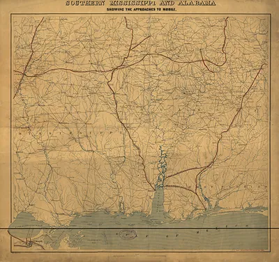
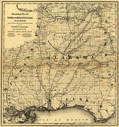
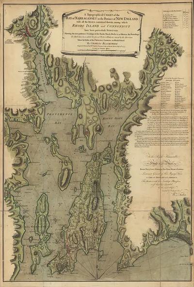
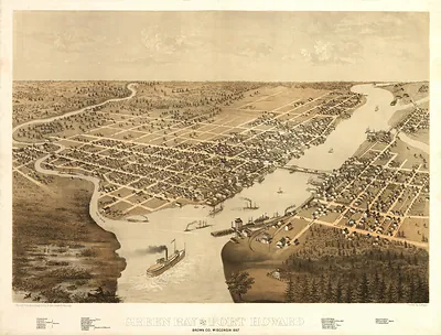
Mobile Bay is the broad, shallow estuary that opens onto the Gulf of Mexico along Alabama's southwestern coast, with the city of Mobile at its northern head. Panoramic maps like this one were popular in the late nineteenth century, when oblique bird's-eye views let viewers take in a harbor, its shoreline, and its waterways in a single sweep. Such views show the working waterfront, where shipping and river trade drove the region's growth. The bay's channels and marshy edges are worth studying for how they were drawn as a living commercial landscape.
| Original scan | 3,969 × 5,442 px · prints to 13 × 18 in at 300 dpi |
|---|---|
| Reference | Mobile Bay |
More from the PAN MAPS collection
Snapshots of the Past helps heritage brands, museums, historians and storytellers tell stories with history: historic prints, image licensing and historical storytelling drawn from more than 25 years of research and curation.