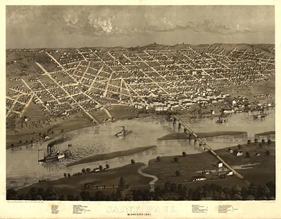
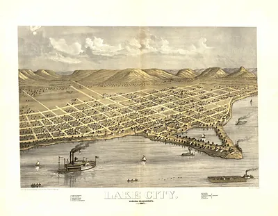
WI Green Bay 1867 MAP – Antique Wall Map

(Originally scanned by the Library of Congress. Each image is professionally and digitally cleaned of artifacts such as color bars and extra borders prior to printing.)
Description
This antique map of WI Green Bay 1867 MAP brings a moment of history to your wall. It comes from the collections of the Library of Congress, scanned from the original and carefully restored.
Library of Congress record: Green Bay and Fort Howard, Brown Co., Wisconsin 1867
Choose the framed print, ready to hang the day it arrives, or the unframed print for a frame of your own. It brings character to any room and makes a memorable gift. Free shipping in the lower 48 states. Snapshots of the Past, founded in 2001, has served tens of thousands of customers worldwide.
WI Green Bay 1867 MAP
Order a print
Thank you. Your order went through, and a receipt is on its way by email.
Secure checkout · SSL encryptedPowered by Stripe and PayPal
Free shipping in the lower 48 states. The checkout page shows the picture, size and price before you pay.
Green Bay sits at the mouth of the Fox River where it empties into the bay of Lake Michigan, and this 1867 bird's-eye view shows the town from a raised angle that makes its river frontage and streets easy to follow. The map was drawn by A. Ruger for the Chicago Lithographing Company, one of the firms that produced the panoramic city views popular in the Midwest during the 1860s and 1870s. Such views were often sold to local residents and businesses, who liked seeing their own neighborhoods laid out in careful detail. Green Bay had been a fur-trading and mission settlement long before American growth reached it, and by the late 1860s its lumber and shipping trade was expanding.
| Created / published | 1867 |
|---|---|
| Creator | ruger, a., chicago lithographing co |
| Source | Library of Congress, Panoramic Maps |
| Original scan | 4,456 × 3,392 px · prints to 15 × 11 in at 300 dpi |
| Library of Congress title | Green Bay and Fort Howard, Brown Co., Wisconsin 1867 |
| Reference | WI-GreenBay-1867 |
More from the PAN MAPS collection
Snapshots of the Past helps heritage brands, museums, historians and storytellers tell stories with history: historic prints, image licensing and historical storytelling drawn from more than 25 years of research and curation.