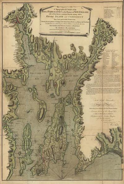
RI-Narraganset Bay 1777 – Antique Map Print

(Each image is professionally and digitally cleaned of artifacts such as color bars and extra borders prior to printing.)
Description
RI-Narraganset Bay 1777 comes to life in this antique map, reproduced from the original with every detail intact. Drawn from the Snapshots of the Past archive, it is an authentic piece of documented history.
Framed, it is ready for the wall; unframed, it is ready for the frame you choose. It brings character to any room and makes a memorable gift. Free shipping in the lower 48 states. Snapshots of the Past has been bringing history to the wall since 2001, for tens of thousands of customers worldwide.
RI-Narraganset Bay 1777
Order a print
Thank you. Your order went through, and a receipt is on its way by email.
Secure checkout · SSL encryptedPowered by Stripe and PayPal
Free shipping in the lower 48 states. The checkout page shows the picture, size and price before you pay.
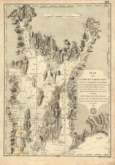
Narragansett Bay, the broad inlet that cuts deep into the Rhode Island shore, is the subject of this 1777 map, made in the middle of the Revolutionary War. By then the British had held Newport since late 1776, and control of the bay's channels and islands mattered to both sides for moving troops and watching the coast. Maps like this one helped commanders think through landings, blockades and crossings. This reduced version still shows how the bay's islands and inlets shaped wartime strategy.
| Original scan | 3,345 × 4,204 px · prints to 11 × 14 in at 300 dpi |
|---|---|
| Reference | RI-Narraganset Bay 1777 |
More from the PAN MAPS collection
Snapshots of the Past helps heritage brands, museums, historians and storytellers tell stories with history: historic prints, image licensing and historical storytelling drawn from more than 25 years of research and curation.