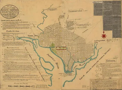
Plan de la Baie de Narraganset dans la Nouvelle Angleterre, 1780 – Historic Map Reproduction

(Each image is professionally and digitally cleaned of artifacts such as color bars and extra borders prior to printing.)
Description
Few images capture their era like this antique map of Plan de la Baie de Narraganset dans la Nouvelle Angleterre, 1780. It is part of the Snapshots of the Past archive, gathered over 25 years of research.
The framed print arrives ready to hang; the unframed option suits custom framing. A conversation-starting piece for home, office, or as a meaningful gift. Free shipping in the lower 48 states. Snapshots of the Past, founded in 2001, has served tens of thousands of customers worldwide.
Plan de la Baie de Narraganset dans la Nouvelle Angleterre, 1780
Order a print
Thank you. Your order went through, and a receipt is on its way by email.
Secure checkout · SSL encryptedPowered by Stripe and PayPal
Free shipping in the lower 48 states. The checkout page shows the picture, size and price before you pay.
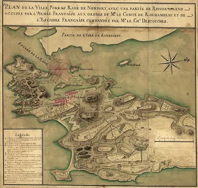
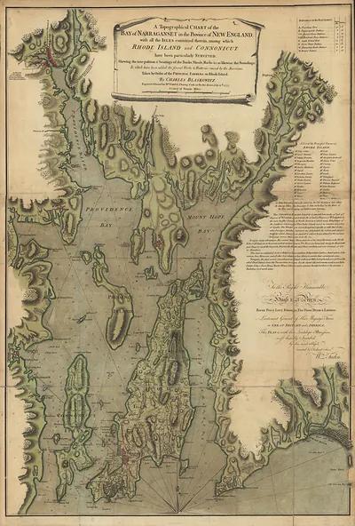
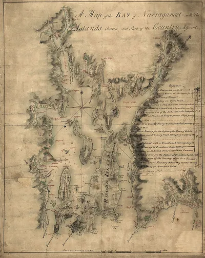
Drawn with its title in French, this 1780 plan charts Narragansett Bay, the wide inlet on Rhode Island's coast that had mattered to the war since its early years. The date matters: French forces under the Comte de Rochambeau reached Newport that July to support the American cause, and the bay became central to allied planning. Maps like this one, showing coastline and channels, were practical tools for officers working in unfamiliar waters. Its French title suggests it was made for the expedition's own use.
| Original scan | 3,294 × 4,704 px · prints to 11 × 16 in at 300 dpi |
|---|---|
| Reference | RI-Narraganset Bay 1780 |
More from the PAN MAPS collection
Snapshots of the Past helps heritage brands, museums, historians and storytellers tell stories with history: historic prints, image licensing and historical storytelling drawn from more than 25 years of research and curation.