Military Map of the Confederate States and the Gulf – Antique Map Print

(Each image is professionally and digitally cleaned of artifacts such as color bars and extra borders prior to printing.)
Description
Few images capture their era like this antique map of Military Map of the Confederate States and the Gulf. Drawn from the Snapshots of the Past archive, it is an authentic piece of documented history.
Choose the framed print, ready to hang the day it arrives, or the unframed print for a frame of your own. A fine choice for anyone who loves history, and a gift that gets noticed. Free shipping in the lower 48 states. Snapshots of the Past, founded in 2001, has served tens of thousands of customers worldwide.
Military Map of the Confederate States and the Gulf
Order a print
Thank you. Your order went through, and a receipt is on its way by email.
Secure checkout · SSL encryptedPowered by Stripe and PayPal
Free shipping in the lower 48 states. The checkout page shows the picture, size and price before you pay.
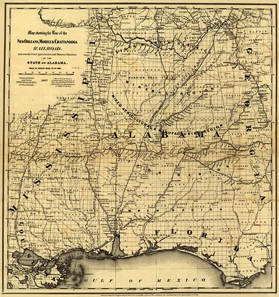
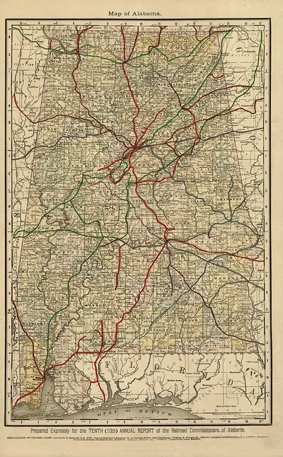
Rather than focusing on one state, this map takes in the whole Confederacy and the Gulf of Mexico, a span that made it useful for following supply lines and troop movements across the South. Dated 1863, it appeared when fighting had already reached the Mississippi River and the Gulf coast, and it reflects the Confederate need to chart its own territory for commanders who required a broad view of rail lines, rivers, and coastal defenses. Military maps of this kind were often reduced from larger surveys so they could be carried in the field or copied in quantity. Its place among the Alabama maps reflects the state's position within that larger region rather than the map's main subject.
| Created / published | 1863 |
|---|---|
| Original scan | 4,160 × 3,396 px · prints to 14 × 11 in at 300 dpi |
| Reference | Tallahassee, Florida, west to Mobile, Alabama, and the Gulf coast north to Montgomery, Alabama 1863 |
More from the PAN MAPS collection
Snapshots of the Past helps heritage brands, museums, historians and storytellers tell stories with history: historic prints, image licensing and historical storytelling drawn from more than 25 years of research and curation.