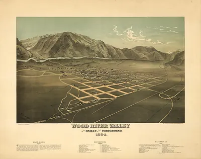
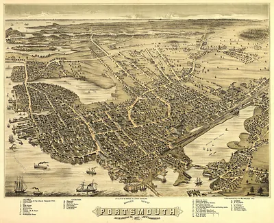
NH Warner 1884 MAP – Antique Wall Map

(Each image is professionally and digitally cleaned of artifacts such as color bars and extra borders prior to printing.)
Description
Step back in time with NH Warner 1884 MAP, an antique map rich in period detail. Drawn from the Snapshots of the Past archive, it is an authentic piece of documented history.
Choose the framed print, ready to hang the day it arrives, or the unframed print for a frame of your own. It makes a striking addition to a living room, study or office, and a thoughtful gift. Free shipping in the lower 48 states. Snapshots of the Past, founded in 2001, has served tens of thousands of customers worldwide.
NH Warner 1884 MAP
Order a print
Thank you. Your order went through, and a receipt is on its way by email.
Secure checkout · SSL encryptedPowered by Stripe and PayPal
Free shipping in the lower 48 states. The checkout page shows the picture, size and price before you pay.
This 1884 map, credited to Warner, presents all of New Hampshire on a single reduced-scale sheet rather than as a county-by-county survey. Maps like this were commonly issued in the 1880s for atlases and commercial sale, a period when railroads were linking the state's mill towns and mountain resorts and demand for affordable, accurate geography was growing. Note the Connecticut River along the western border and the White Mountains in the north-central part of the state, the features that most shaped travel and settlement there.
| Created / published | 1884 |
|---|---|
| Original scan | 4,387 × 2,909 px · prints to 15 × 10 in at 300 dpi |
| Reference | NH-Warner-1884 |
More from the PAN MAPS collection
Snapshots of the Past helps heritage brands, museums, historians and storytellers tell stories with history: historic prints, image licensing and historical storytelling drawn from more than 25 years of research and curation.