NH Milford 1886 MAP – Vintage Map Wall Art

(Originally scanned by the Library of Congress. Each image is professionally and digitally cleaned of artifacts such as color bars and extra borders prior to printing.)
Description
A window into the past: NH Milford 1886 MAP, preserved in this antique map. An authentic image from the Library of Congress, it carries the weight of the real historical record.
Library of Congress record: Milford, N.H.
Framed, it is ready for the wall; unframed, it is ready for the frame you choose. It makes a striking addition to a living room, study or office, and a thoughtful gift. Free shipping in the lower 48 states. Since 2001, Snapshots of the Past has shipped historic prints to tens of thousands of customers around the world.
NH Milford 1886 MAP
Order a print
Thank you. Your order went through, and a receipt is on its way by email.
Secure checkout · SSL encryptedPowered by Stripe and PayPal
Free shipping in the lower 48 states. The checkout page shows the picture, size and price before you pay.
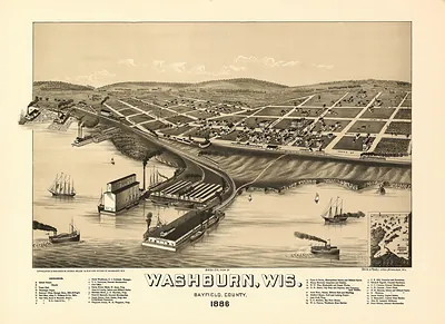
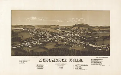
This bird's-eye view shows Milford, a mill town in south-central New Hampshire, as it looked in 1886. Its perspective sets the village along the Souhegan River, where waterpower drove the local mills and the streets, churches, and factories climbed the surrounding slopes. Panoramic maps like this were drawn from an elevated angle to show every building in recognizable detail, so they work as a record of the town's layout and its industry in the late nineteenth century. Viewers today often use them to trace where roads, mill sites, and older landmarks once stood.
| Created / published | 1886 |
|---|---|
| Creator | burleigh, l. r., c.h. vogt (firm) |
| Source | Library of Congress, Panoramic Maps |
| Original scan | 6,084 × 3,624 px · prints to 20 × 12 in at 300 dpi |
| Library of Congress title | Milford, N.H. |
| Reference | NH-Milford-1886 |
More from the PAN MAPS collection
Snapshots of the Past helps heritage brands, museums, historians and storytellers tell stories with history: historic prints, image licensing and historical storytelling drawn from more than 25 years of research and curation.