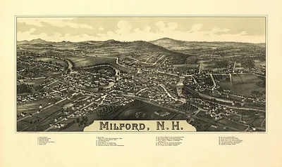
WI Menomonee 1886 MAP – Antique Map Print

(Originally scanned by the Library of Congress. Each image is professionally and digitally cleaned of artifacts such as color bars and extra borders prior to printing.)
Description
Step back in time with WI Menomonee 1886 MAP, an antique map rich in period detail. The original is held by the Library of Congress, so what you hang is a true record of its time.
Library of Congress record: Menomonee Falls, Waukesha County, Wisconsin. 1886
Choose the framed print, ready to hang the day it arrives, or the unframed print for a frame of your own. It brings character to any room and makes a memorable gift. Free shipping in the lower 48 states. Since 2001, Snapshots of the Past has shipped historic prints to tens of thousands of customers around the world.
WI Menomonee 1886 MAP
Order a print
Thank you. Your order went through, and a receipt is on its way by email.
Secure checkout · SSL encryptedPowered by Stripe and PayPal
Free shipping in the lower 48 states. The checkout page shows the picture, size and price before you pay.
In 1886 Menomonie, the seat of Dunn County in western Wisconsin, was a lumber town built along the Red Cedar River. Water-powered sawmills there turned logs floated down from the northern pine forests into boards bound for prairie farms and growing cities to the south. The Knapp, Stout & Company mills were the center of that work, and the town's fortunes rose and fell with the cut of white pine. Railroads brought in supplies and carried lumber out, and residents would have known Menomonie chiefly as a mill town, where payrolls, river drives, and the sound of saws shaped daily life. Within about a decade the best pine in the region had largely been cut, and the mills began to close.
| Created / published | 1886 |
|---|---|
| Creator | norris, wellge & co, beck & pauli |
| Source | Library of Congress, Panoramic Maps |
| Original scan | 6,824 × 4,248 px · prints to 23 × 14 in at 300 dpi |
| Library of Congress title | Menomonee Falls, Waukesha County, Wisconsin. 1886 |
| Reference | WI-Menomonee-1886 |
More from the PAN MAPS collection
Snapshots of the Past helps heritage brands, museums, historians and storytellers tell stories with history: historic prints, image licensing and historical storytelling drawn from more than 25 years of research and curation.