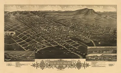
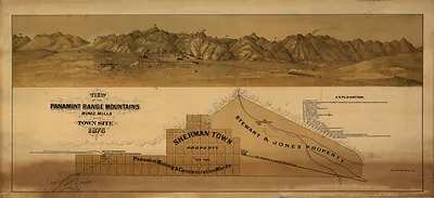
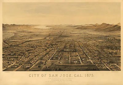
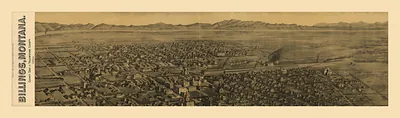
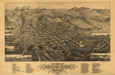
MT Helena 1875 MAP – Antique Wall Map

(Each image is professionally and digitally cleaned of artifacts such as color bars and extra borders prior to printing.)
Description
This rare antique map captures MT Helena 1875 MAP in remarkable detail. It comes from the Snapshots of the Past collection, curated over 25 years for its historical value.
The framed print arrives ready to hang; the unframed option suits custom framing. A conversation-starting piece for home, office, or as a meaningful gift. Free shipping in the lower 48 states. Since 2001, Snapshots of the Past has shipped historic prints to tens of thousands of customers around the world.
MT Helena 1875 MAP
Order a print
Thank you. Your order went through, and a receipt is on its way by email.
Secure checkout · SSL encryptedPowered by Stripe and PayPal
Free shipping in the lower 48 states. The checkout page shows the picture, size and price before you pay.
Titled for Helena, Montana, this 1875 map captures the town in the year it became territorial capital, a role it took from Virginia City. The settlement began in 1864, when prospectors found gold in Last Chance Gulch and a mining camp grew up along the creek. By the mid-1870s it had become a center for mining, freighting, and trade, and a map from this period shows a town still shaped by its gulch. Maps of this kind were often used to plan streets, sell lots, and attract investment, so they reveal the boosters' hopes as much as the ground itself.
| Created / published | 1875 |
|---|---|
| Original scan | 2,550 × 750 px · prints to 8 × 2 in at 300 dpi |
| Reference | MT-Helena-1875 |
More from the PAN MAPS collection
Snapshots of the Past helps heritage brands, museums, historians and storytellers tell stories with history: historic prints, image licensing and historical storytelling drawn from more than 25 years of research and curation.