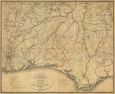
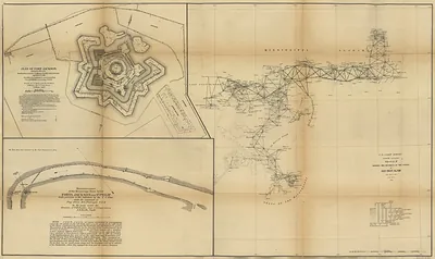
Carte Particulière d'une partie de la Louisiane ou du Fleuve Mississipi – Antique Wall Map

(Each image is professionally and digitally cleaned of artifacts such as color bars and extra borders prior to printing.)
Description
Few images capture their era like this antique map of Carte Particulière d'une partie de la Louisiane ou du Fleuve Mississipi. Drawn from the Snapshots of the Past archive, it is an authentic piece of documented history.
Choose the framed print, ready to hang the day it arrives, or the unframed print for a frame of your own. It brings character to any room and makes a memorable gift. Free shipping in the lower 48 states. Since 2001, Snapshots of the Past has shipped historic prints to tens of thousands of customers around the world.
Carte Particulière d'une partie de la Louisiane ou du Fleuve Mississipi
Order a print
Thank you. Your order went through, and a receipt is on its way by email.
Secure checkout · SSL encryptedPowered by Stripe and PayPal
Free shipping in the lower 48 states. The checkout page shows the picture, size and price before you pay.
Its French title, "Carte Particulière d'une partie de la Louisiane ou du Fleuve Mississipi," sets it apart from the broader regional maps on this board: it focuses on a particular stretch of Louisiana and the Mississippi River. France claimed the river valley after La Salle's 1682 descent to the Gulf, and maps like this one helped guide settlement, trade and military planning along the waterways. Cartographers of the period usually worked from surveys and reports sent back from the colony, combining close river detail with interior geography that was often incomplete or speculative. Today such sheets are valued as records of how Europeans first pictured a landscape they were still learning to navigate.
| Original scan | 3,593 × 4,186 px · prints to 12 × 14 in at 300 dpi |
|---|---|
| Reference | MISSIS~1 |
More from the PAN MAPS collection
Snapshots of the Past helps heritage brands, museums, historians and storytellers tell stories with history: historic prints, image licensing and historical storytelling drawn from more than 25 years of research and curation.