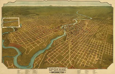
PAN MAPS page 3
301 historic pictures in the PAN MAPS collection, in 53 sections, part of Subjects. Each one can be ordered as a print or licensed, and the collection is a starting point for telling stories about the past.
Open the interactive boardSouth (AL AR FL GA KY LA MS NC OK SC TN TX VA) · SC · Reduced
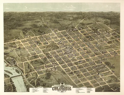
South (AL AR FL GA KY LA MS NC OK SC TN TX VA) · TN · Reduced
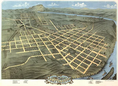 TN Chattanooga 1871 MAP (1871)
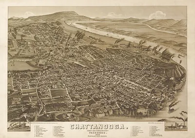 TN Chattanooga 1886 MAP (1886)
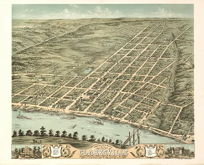 TN Clarksville 1870 MAP (1870)
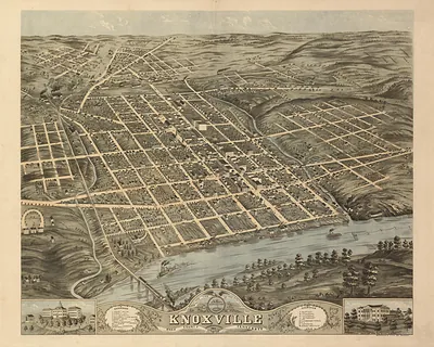 TN Knoxville 1871 MAP (1871)
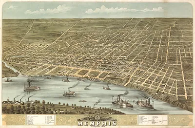 TN Memphis 1870 MAP (1870)
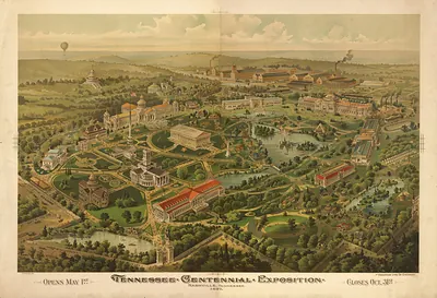 TN Nashville 1897 MAP (1897)
South (AL AR FL GA KY LA MS NC OK SC TN TX VA) · TX · Other Texas Maps · Pressler · Reduced
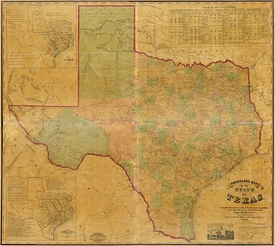 Fixed Light - Presslers map of the state of Texas, Texas
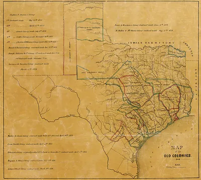 Presslers 1857 old colonies, Texas
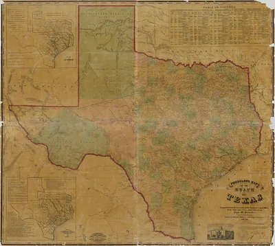 Pressler's Map of the State of Texas (1857)
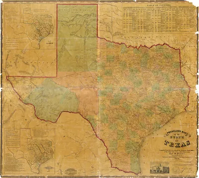 Pressler's Map of the State of Texas (1857)
South (AL AR FL GA KY LA MS NC OK SC TN TX VA) · TX · Reduced
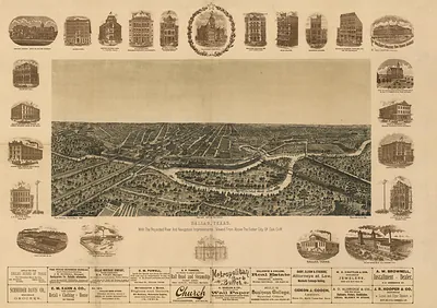
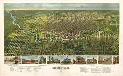
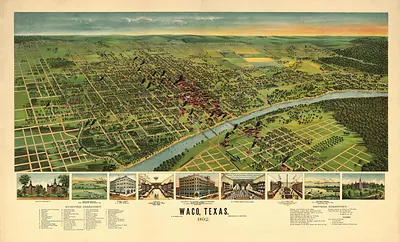
South (AL AR FL GA KY LA MS NC OK SC TN TX VA) · VA · Reduced
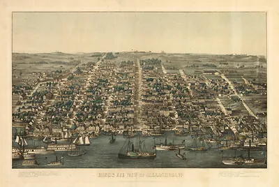 VA Alexandria 1863 MAP (1863)
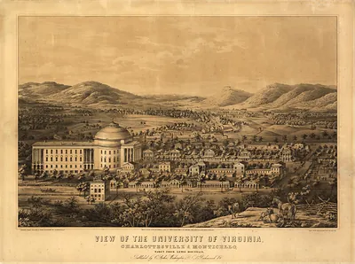 VA Charlottesville 1856 MAP (1856)
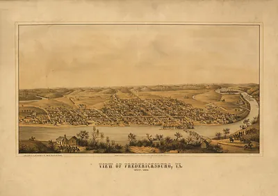 VA Fredericksburg 1862 MAP (1862)
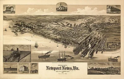 VA Newport News 1891 MAP (1891)
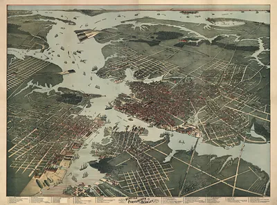 VA Norfolk 1891 MAP (1891)
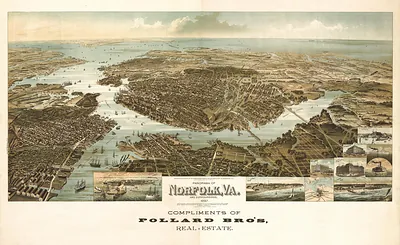 VA Norfolk 1892 MAP (1892)
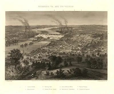 VA Richmond 1863 MAP (1863)
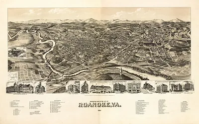 VA Roanoke 1891 MAP (1891)
West (AZ CA CO NM NV OR UT WA WY) · AZ · Reduced
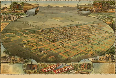
West (AZ CA CO NM NV OR UT WA WY) · CA · Reduced
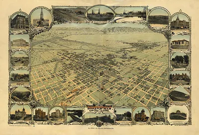 CA Bakersfield 1901 MAP (1901)
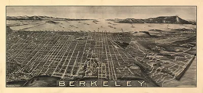 CA Berkeley 1909 MAP (1909)
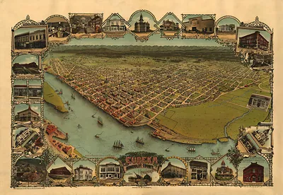 CA Eureka 1902 MAP (1902)
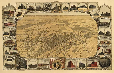 CA Fresno 1901 MAP (1901)
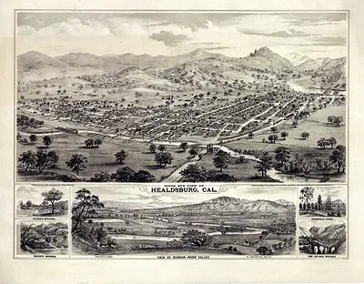 Bird's Eye View of Healdsburg, Cal.
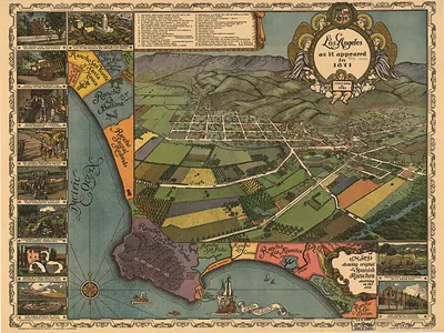 CA Los Angeles 1871 MAP (1871)
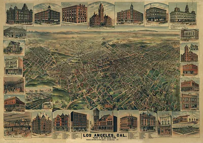 CA Los Angeles 1891 MAP (1891)
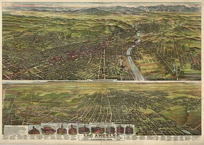 CA Los Angeles 1894 MAP (1894)
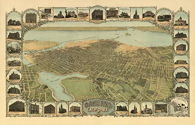 CA Oakland 1900 MAP (1900)
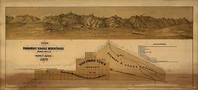 CA Panamint 1875 MAP (1875)
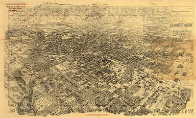 CA Pasadena 1903 MAP (1903)
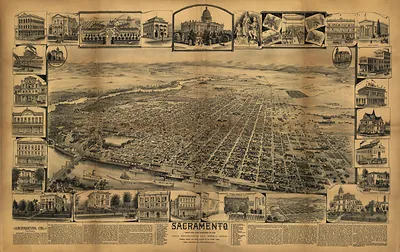 CA Sacramento 1890 MAP (1890)
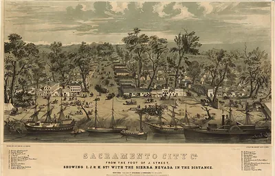 Sacramento City Cal. From the Foot of J Street, Showing I J & K Sts (1850)
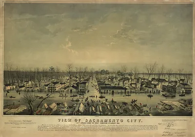 View of Sacramento City as it appeared during the great inundation in January 1850 (1850)
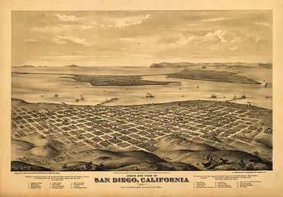 CA SanDiego 1876 MAP (1876)
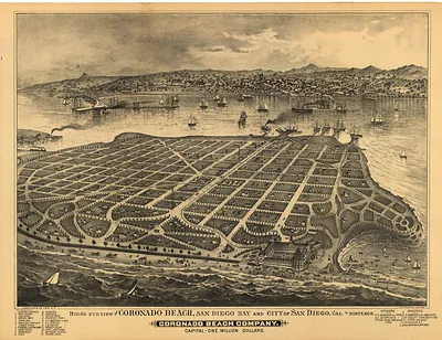 CA SanDiego 1880 MAP (1880)
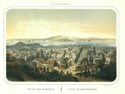 Vue de San-Francisco, bird's-eye view lithograph print
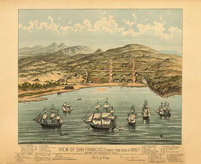 CA San Francisco 1847 MAP (1847)
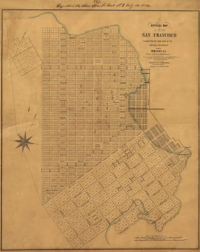 CA San Francisco 1849 MAP (1849)
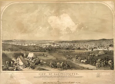 CA San Francisco 1851 MAP (1851)
 CA San Francisco 1855 ab MAP (1855)
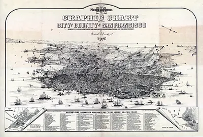 Graphic Chart of the City & County of San Francisco, 1875 (1875)
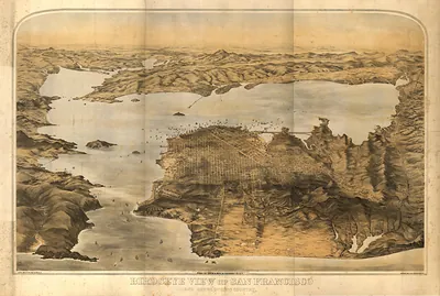 CA San Francisco 1876 MAP (1876)
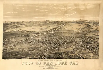 CA San Jose 1869 MAP (1869)
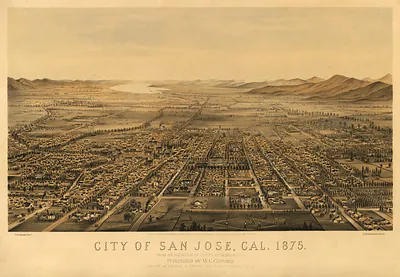 CA San Jose 1875 MAP (1875)
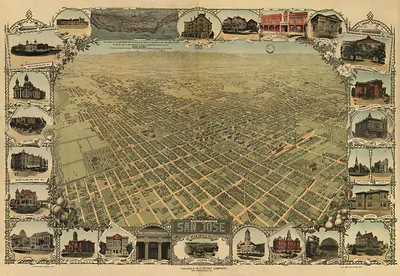 CA San Jose 1901 MAP (1901)
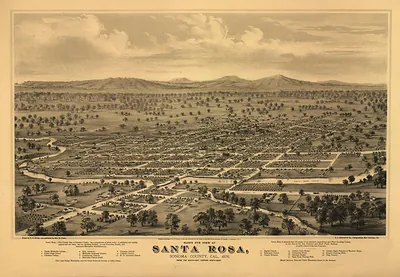 CA Santa Rosa 1876 MAP (1876)
West (AZ CA CO NM NV OR UT WA WY) · CO · Reduced
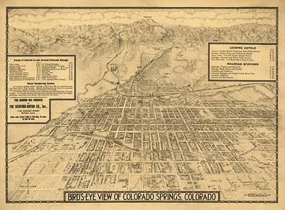 CO Colorado Springs 1909 MAP (1909)
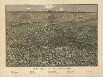 CO Denver 1887 MAP (1887)
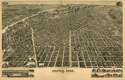 CO Denver 1889 MAP (1889)
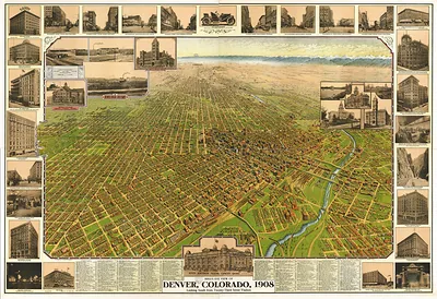 CO Denver 1908 MAP (1908)
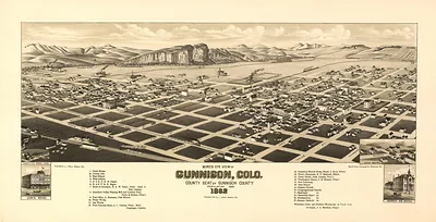 CO Gunnison 1882 MAP (1882)
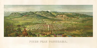 CO Pikes Peak 1890 MAP (1890)