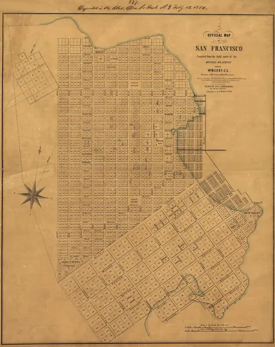
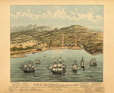
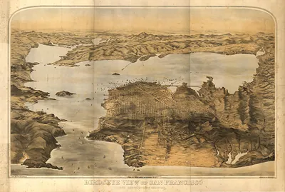
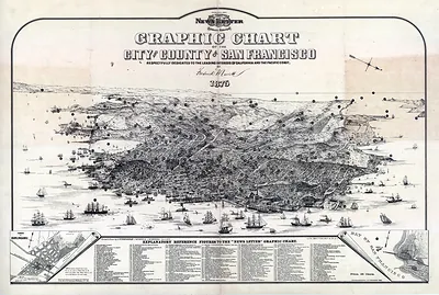
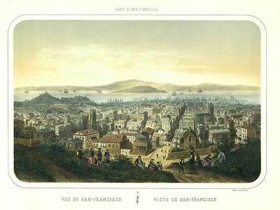
CA San Francisco 1851 MAP – Antique Map Print

(Originally scanned by the Library of Congress. Each image is professionally and digitally cleaned of artifacts such as color bars and extra borders prior to printing.)
Description
This rare antique map captures CA San Francisco 1851 MAP in remarkable detail. The original is held by the Library of Congress, so what you hang is a true record of its time.
Library of Congress record: View of San Francisco, Taken from the Western Hill at the foot of Telegraph Hill, looking toward Ringon Point and Mission Valley
Framed, it is ready for the wall; unframed, it is ready for the frame you choose. A conversation-starting piece for home, office, or as a meaningful gift. Free shipping in the lower 48 states. Since 2001, Snapshots of the Past has shipped historic prints to tens of thousands of customers around the world.
CA San Francisco 1851 MAP
Order a print
Thank you. Your order went through, and a receipt is on its way by email.
Secure checkout · SSL encryptedPowered by Stripe and PayPal
Free shipping in the lower 48 states. The checkout page shows the picture, size and price before you pay.
This panoramic bird's-eye map shows San Francisco in 1851 as if seen from a high vantage point above the bay. The record credits Sarony & Major as publishers, with George W. Casilear and Henry Bainbridge named as the artists or engravers. It captures a city that had grown from a small Mexican-era settlement into a crowded gold rush port in only a few years. The year was a turbulent one, as fires swept the wooden downtown and rebuilding reshaped its streets. Panoramas like this were popular in the 1850s because they let people far away see a fast-growing city all at once.
| Created / published | 1851 |
|---|---|
| Creator | sarony & major, casilear, george w., bainbridge, henry |
| Source | Library of Congress, Panoramic Maps |
| Original scan | 5,328 × 3,880 px · prints to 18 × 13 in at 300 dpi |
| Library of Congress title | View of San Francisco, Taken from the Western Hill at the foot of Telegraph Hill, looking toward Ringon Point and Mission Valley |
| Reference | CA-SanFrancisco-1851 |
More from the PAN MAPS collection
Snapshots of the Past helps heritage brands, museums, historians and storytellers tell stories with history: historic prints, image licensing and historical storytelling drawn from more than 25 years of research and curation.