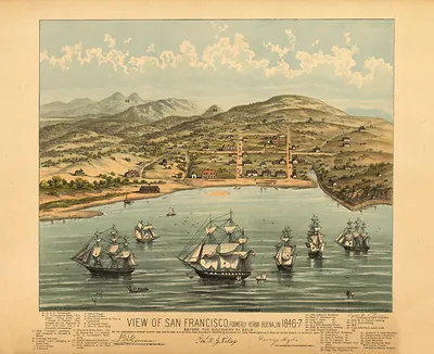
Graphic Chart of the City & County of San Francisco, 1875 – Vintage Map Wall Art

(Originally scanned by the Library of Congress. Each image is professionally and digitally cleaned of artifacts such as color bars and extra borders prior to printing.)
Description
This antique map of Graphic Chart of the City & County of San Francisco, 1875 brings a moment of history to your wall. An authentic image from the Library of Congress, it carries the weight of the real historical record.
Library of Congress record: Graphic chart of the city and county of San Francisco
Framed, it is ready for the wall; unframed, it is ready for the frame you choose. A fine choice for anyone who loves history, and a gift that gets noticed. Free shipping in the lower 48 states. Snapshots of the Past has been bringing history to the wall since 2001, for tens of thousands of customers worldwide.
Graphic Chart of the City & County of San Francisco, 1875
Order a print
Thank you. Your order went through, and a receipt is on its way by email.
Secure checkout · SSL encryptedPowered by Stripe and PayPal
Free shipping in the lower 48 states. The checkout page shows the picture, size and price before you pay.
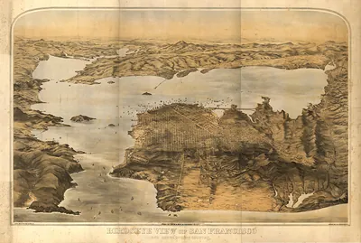
Issued in 1875 by the lithographers Britton & Rey, this chart credits Frederick Marriott, J. Mendenhall, Leopold Wyneken and Louis R. Townsend with its work. It shows the city and county in a perspective view that lets a reader see the street grid, the blocks and the waterfront at a glance. The year fell during a period of rapid growth, when San Francisco was the largest city on the Pacific coast and was filling its hills and sand dunes with new houses. Look toward the western edge, where Golden Gate Park was then being laid out on land that had been mostly dunes.
| Created / published | 1875 |
|---|---|
| Creator | marriott, frederick, mendenhall, j., wyneken, leopold ernest, townsend, louis r., britton, rey & co |
| Source | Library of Congress, Panoramic Maps |
| Original scan | 5,306 × 3,564 px · prints to 18 × 12 in at 300 dpi |
| Library of Congress title | Graphic chart of the city and county of San Francisco |
| Reference | CA-SanFrancisco-1875 |
More from the PAN MAPS collection
Snapshots of the Past helps heritage brands, museums, historians and storytellers tell stories with history: historic prints, image licensing and historical storytelling drawn from more than 25 years of research and curation.