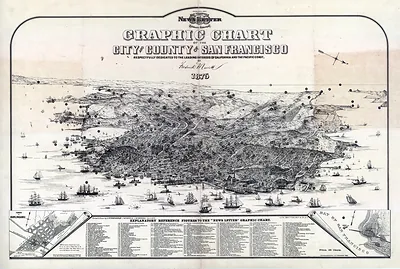
CA San Francisco 1876 MAP – Antique Map Print

(Originally scanned by the Library of Congress. Each image is professionally and digitally cleaned of artifacts such as color bars and extra borders prior to printing.)
Description
CA San Francisco 1876 MAP comes to life in this antique map, reproduced from the original with every detail intact. Sourced directly from the Library of Congress, it represents an authentic piece of documented history.
Library of Congress record: Birdseye view of San Francisco and surrounding country
Framed, it is ready for the wall; unframed, it is ready for the frame you choose. A conversation-starting piece for home, office, or as a meaningful gift. Free shipping in the lower 48 states. Since 2001, Snapshots of the Past has shipped historic prints to tens of thousands of customers around the world.
CA San Francisco 1876 MAP
Order a print
Thank you. Your order went through, and a receipt is on its way by email.
Secure checkout · SSL encryptedPowered by Stripe and PayPal
Free shipping in the lower 48 states. The checkout page shows the picture, size and price before you pay.
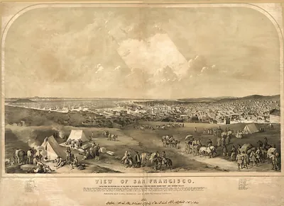
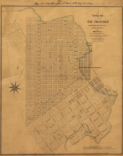
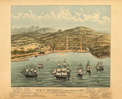
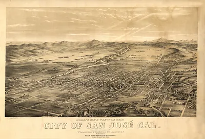
This 1876 bird's-eye panorama of San Francisco was drawn by G. H. Goddard and published by Britton & Rey, a San Francisco firm known for city views of the period. Panoramic maps like this one were built from an elevated, oblique vantage point, so the city's streets, wharves and hillside blocks appear as a single sweeping scene rather than a flat plan. By 1876 the city had grown rapidly since the Gold Rush and was filling the steep slopes and the bay shoreline, which makes this view a useful record of its layout just before the 1906 earthquake and fire reshaped much of it.
| Created / published | 1876 |
|---|---|
| Creator | goddard, g. h., britton, rey & co |
| Source | Library of Congress, Panoramic Maps |
| Original scan | 4,935 × 3,323 px · prints to 16 × 11 in at 300 dpi |
| Library of Congress title | Birdseye view of San Francisco and surrounding country |
| Reference | CA-SanFrancisco-1876 |
More from the PAN MAPS collection
Snapshots of the Past helps heritage brands, museums, historians and storytellers tell stories with history: historic prints, image licensing and historical storytelling drawn from more than 25 years of research and curation.