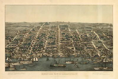
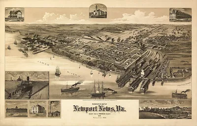
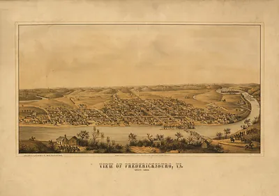
VA Richmond 1863 MAP – Antique Wall Map

(Each image is professionally and digitally cleaned of artifacts such as color bars and extra borders prior to printing.)
Description
This rare antique map captures VA Richmond 1863 MAP in remarkable detail. It is part of the Snapshots of the Past archive, gathered over 25 years of research.
Framed, it is ready for the wall; unframed, it is ready for the frame you choose. Perfect for a home, office, library or classroom wall, and a gift with a story behind it. Free shipping in the lower 48 states. Snapshots of the Past has been bringing history to the wall since 2001, for tens of thousands of customers worldwide.
VA Richmond 1863 MAP
Order a print
Thank you. Your order went through, and a receipt is on its way by email.
Secure checkout · SSL encryptedPowered by Stripe and PayPal
Free shipping in the lower 48 states. The checkout page shows the picture, size and price before you pay.
Richmond appears in this 1863 panoramic map, drawn from an elevated viewpoint, at a time when the city had served for nearly two years as the capital of the Confederacy. The James River and the city's riverfront industry shaped both its commerce and its defense, and Union armies had repeatedly threatened the approaches to the city since the Peninsula campaign of 1862. Maps of this kind helped viewers grasp the layout of a place that was central to the war, and this reduced version offers a compact view of that setting.
| Created / published | 1863 |
|---|---|
| Original scan | 4,110 × 3,415 px · prints to 14 × 11 in at 300 dpi |
| Reference | VA-Richmond-1863 |
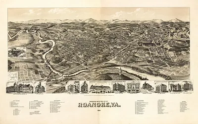
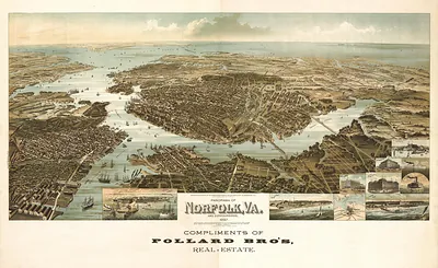
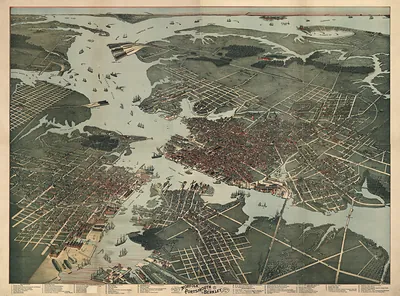
More from the PAN MAPS collection
Snapshots of the Past helps heritage brands, museums, historians and storytellers tell stories with history: historic prints, image licensing and historical storytelling drawn from more than 25 years of research and curation.