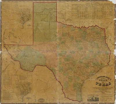
Pressler's Map of the State of Texas – Antique Wall Map

(Each image is professionally and digitally cleaned of artifacts such as color bars and extra borders prior to printing.)
Description
This antique map of Pressler's Map of the State of Texas brings a moment of history to your wall. Drawn from the Snapshots of the Past archive, it is an authentic piece of documented history.
Framed, it is ready for the wall; unframed, it is ready for the frame you choose. A conversation-starting piece for home, office, or as a meaningful gift. Free shipping in the lower 48 states. Snapshots of the Past, founded in 2001, has served tens of thousands of customers worldwide.
Pressler's Map of the State of Texas
Order a print
Thank you. Your order went through, and a receipt is on its way by email.
Secure checkout · SSL encryptedPowered by Stripe and PayPal
Free shipping in the lower 48 states. The checkout page shows the picture, size and price before you pay.
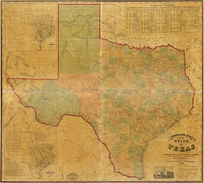
Pressler's 1857 map stands apart from the other Southern state maps on this board because it was drawn with German-speaking readers in mind, and it gives close attention to the settlements German immigrants had founded in Central Texas, such as New Braunfels and Fredericksburg. The 1850s brought a steady stream of German emigrants to Texas, and maps like this helped them judge where to settle. In this reduced version, the state's rivers, counties, and frontier roads are compressed onto a single sheet, so the viewer can trace how far the settled land reached before the open plains began.
| Created / published | 1857 |
|---|---|
| Original scan | 7,785 × 6,964 px · prints to 26 × 23 in at 300 dpi |
| Reference | Tears Light Reduced - Presslers map of the state of Texas 1857 |
More from the PAN MAPS collection
Snapshots of the Past helps heritage brands, museums, historians and storytellers tell stories with history: historic prints, image licensing and historical storytelling drawn from more than 25 years of research and curation.