Yosemite page 2
255 historic pictures in the Yosemite collection, in 3 sections, part of Landmarks. Each one can be ordered as a print or licensed, and the collection is a starting point for telling stories about the past.
Open the interactive boardYosemite
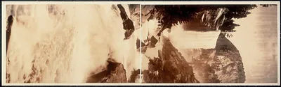 CA Vernal Falls Yosemite 1908 PHOTO (1908)
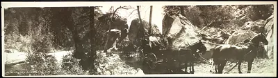 CA Yosemite National Park 1908 PHOTO (1908)
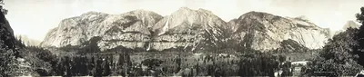 CA Yosemite Valley 1915 PHOTO (1915)
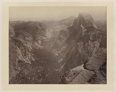 [Half Dome, Yosemite Valley, Calif.] ([ca. 1865])
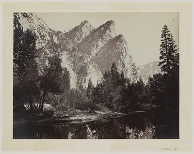 Three Brothers ([ca. 1865])
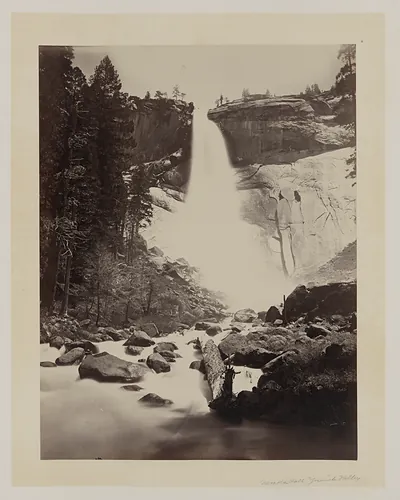 [Nevada Fall, Yosemite Valley] ([ca. 1865])
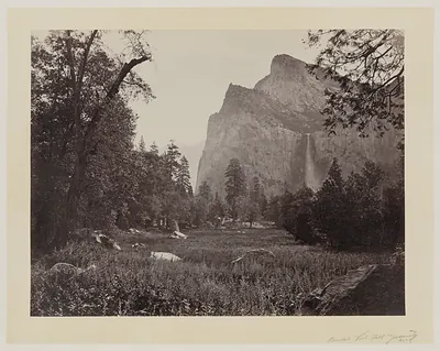 [Bridal Veil Fall, Yosemite Valley, Calif.] ([ca. 1865])
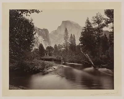 [Stream and trees with Half Dome in background, Yosemite Valley, Calif.] ([ca. 1865])
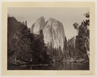 [Cathedral Rocks, with lake and trees in foreground, Yosemite Valley, Calif.] ([ca. 1865])
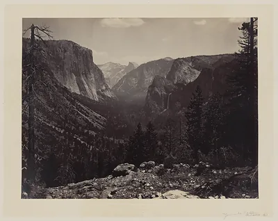 [Entrance to Yosemite Valley, Calif.] ([ca. 1865])
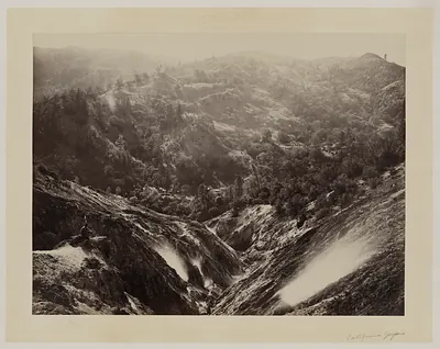 Devil's Canyon, geysers, looking down ([ca. 1868])
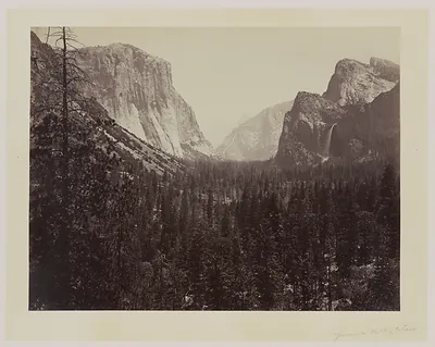 [Entrance to Yosemite Valley, Calif.] ([ca. 1865])
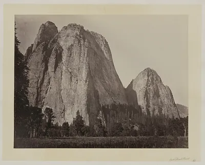 [Cathedral Rock, Yosemite Valley, Calif.] ([ca. 1865])
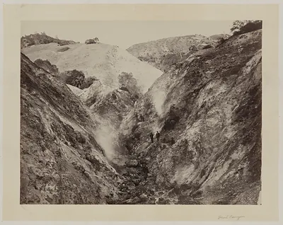 [Devil Canyon, California] ([ca. 1868])
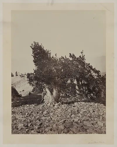 Willianson II, Mt. Shasta ([ca. 1870])
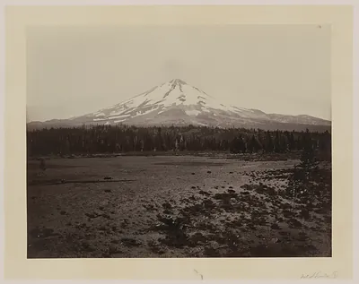 Mount Shasta across open meadow, sepia photograph
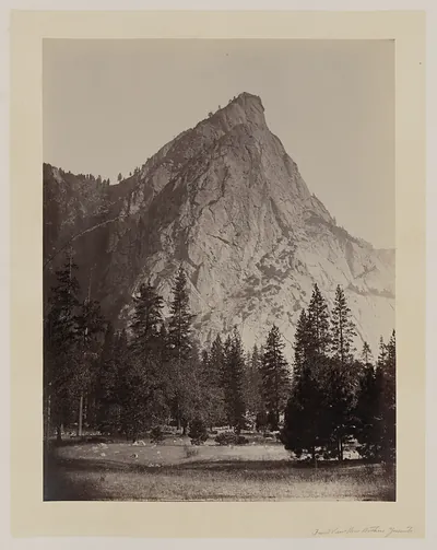 Front view, Three Brothers, Yosemite ([ca. 1865])
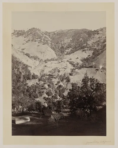 Geyser Canyon, from the hotel ([ca. 1868])
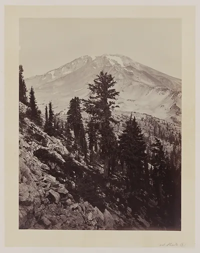 Mt. Shasta, Calif. ([between 1870 and 18)
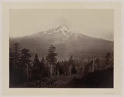 Snow-capped Mount Shasta above a forested valley, sepia photograph
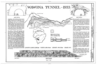 Wawona Tunnel 1933, plan, elevation and section drawing
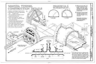 Wawona Tunnel Construction Details
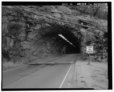 Rock tunnel on road with 'Turn On Lights' sign
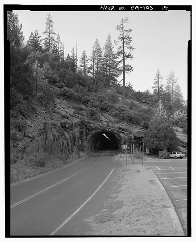 Rock tunnel through hillside on mountain road, with parking area
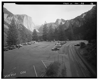 Yosemite Valley parking lot below granite cliffs
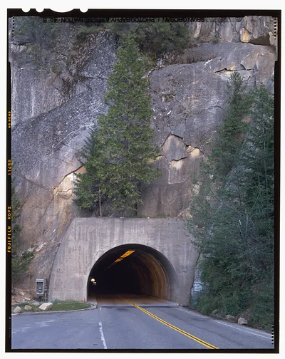 Road entering a concrete tunnel through granite cliffs
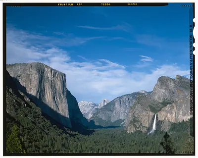 Yosemite Valley with El Capitan and Bridalveil Fall
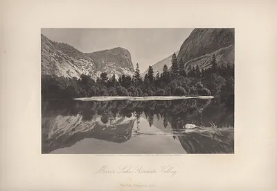 Mirror Lake, Yosemite Valley
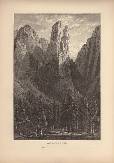 Cathedral Spires
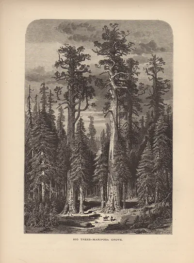 WY The Yosemite Mariposa Trees
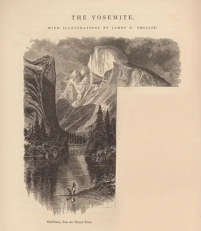 Half-Dome, from the Merced River, engraved Yosemite illustration
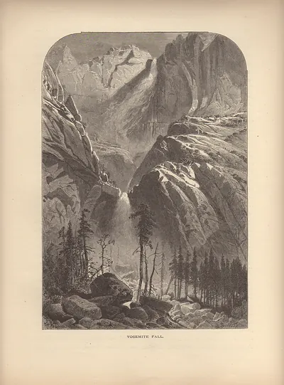 Yosemite Fall
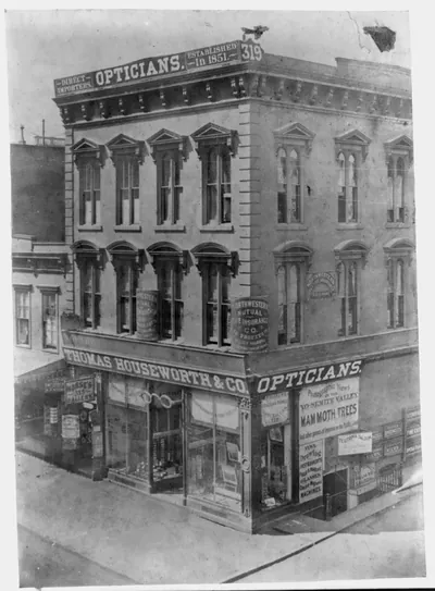 Thomas Houseworth & Co. Opticians Bldg., near Yosemite Valley in California ([published 1866])
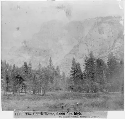 The South Dome, 6,000 feet high, Yosemite Valley, Mariposa County ([published 1866])
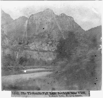 The Yosemite Fall, 2,634 feet high, near view, Yosemite Valley, Mariposa County ([published 1866])
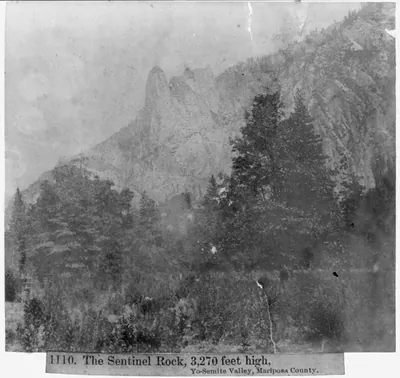 The Sentinel Rock, 3270 feet high - Yosemite Valley, Mariposa County ([published 1866])
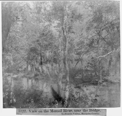 View on the Merced River, near the Bridge - Yosemite Valley - Mariposa County ([published 1866])
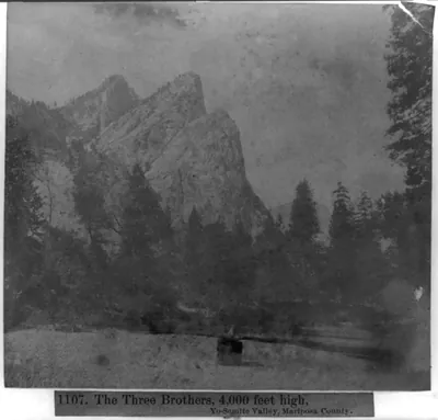 The Three Brothers, 4,000 feet high, Yosemite Valley, Mariposa County ([published 1866])
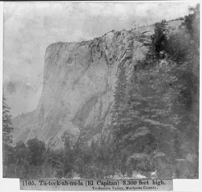 Tu-tock-ah-nu-la (El Capitan), 3,300 feet high - Yosemite Valley, Mariposa County ([published 1866])
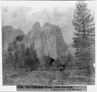 The Cathedral Rocks, 3,000 feet high, Yosemite Valley, Mariposa County ([published 1866])
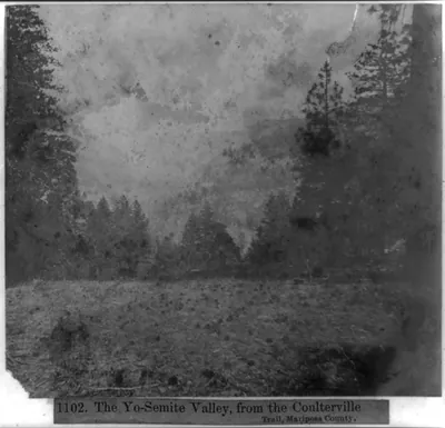 The Yosemite Valley, from the Coulterville Trail, Mariposa County ([published 1866])
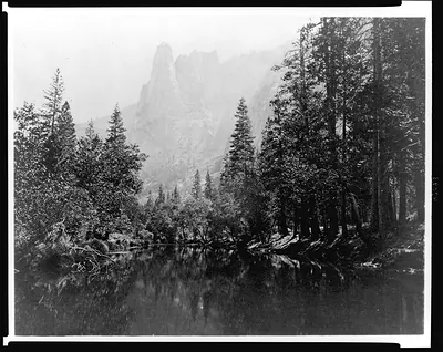 [The Sentinel with lake and trees in foreground, Yosemite National Park, Calif.] ([ca. 1860])
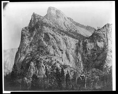 [Bridalveil Fall from Cathedral Trail, Yosemite National Park, Calif.] ([ca. 1860])
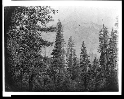 [Trees with North Dome in background, Yosemite National Park, Calif.] ([ca. 1860])
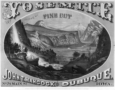 Yosemite fine cut : John T. Hancock, Dubuque, Iowa (c1872.)
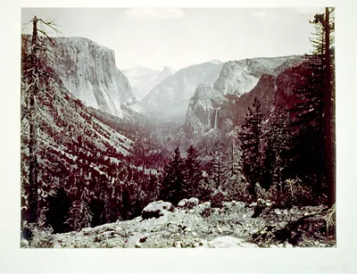 [Entrance to Yosemite Valley, Calif.] ([ca. 1865])
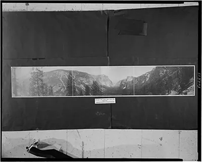 Panorama of Yosemite Valley from Artist Point (c1906.)
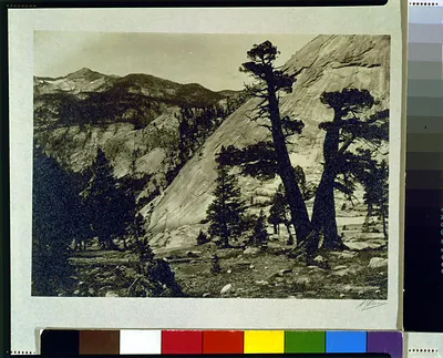 Sierra junipers, Upper Merced Basin, Yosemite Valley ([between 1920 and 19)
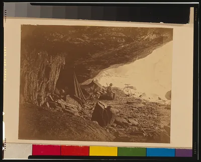 [Man seated beneath rock formation at the Upper Yosemite Fall, Yosemite National Park, Cal ([ca. 1860])
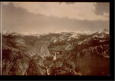 Yosemite Valley from Glacier Point, California (c1908.)
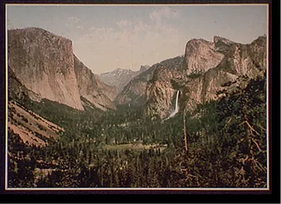 Yosemite Valley from Artists' Point, Calif. (c1898.)
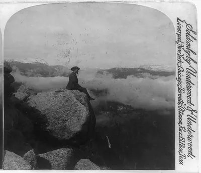 Above the clouds on Eagle Peak Yosemite Valley California U.S.A. (1894)
Stereoviews
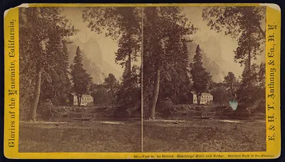 View on the Merced, Hutchings' Hotel and Bridge, Sentinel Rock in the distance
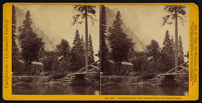 Hutching's Hotel and Sentinel Rock, Yo Semite Valley
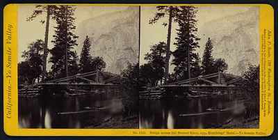 Bridge across the Merced River, Yo Semite Valley
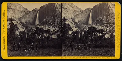 Yo-Semite Fall, from Hutchings, stereoview card
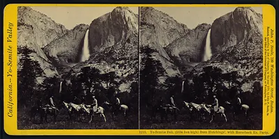 Yo-Semite Fall (2634 feet high) from Hutchings', with Horseback Ex. Party
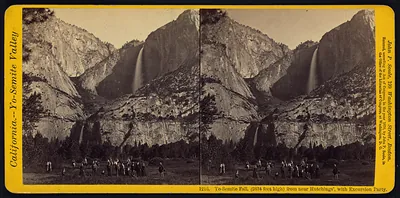 Yo-Semite Fall, from near Hutchings', with Excursion Party
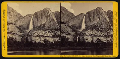 Yo-Semite Fall, from near Hutchings', with Excursion Party
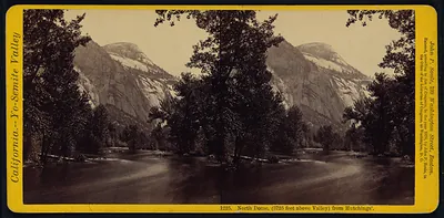 North Dome (3725 feet above Valley) from Hutchings'
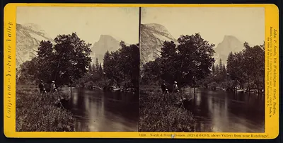 North and South Domes from near Hutchings, Yosemite Valley
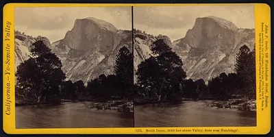 South Dome, (6000 feet above Valley) from near Hutchings'
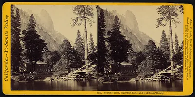 Sentinel Rock (3270 feet high) and Hutchings' Hotel
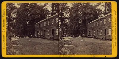 Hutchings' Hotel, Yo-Semite Valley stereoview
 Yosemite · Stereoviews
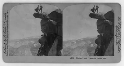 Glacier Point, Yosemite Valley, Cal. (Philadelphia, Pa. : )
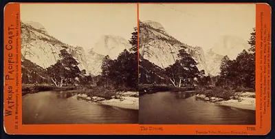 The Domes Yosemite Valley Mariposa County Cal. (1861)
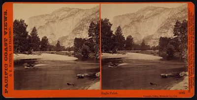 Eagle Point Yosemite Valley Mariposa co. Cal. (1869)
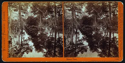 Mirror view Yosemite Valley Mariposa county Cal. (1860)
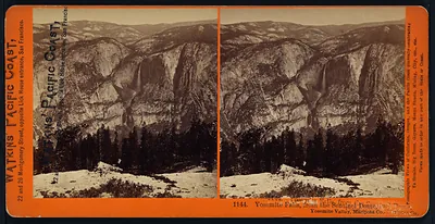 Yosemite Falls from the Sentinel Dome Yosemite Valley Mariposa Co. (1861)
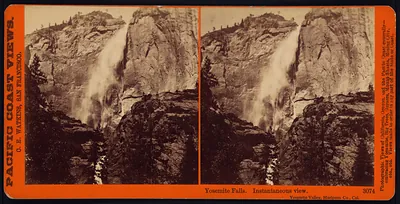 Yosemite Falls instantaneous view Yosemite Valley Mariposa co. Cal. (1869)
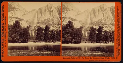 Yosemite Valley, 2634 ft., from the Cosmopolitan Walk (1869)
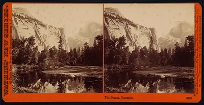 The Domes Yosemite. (1879)
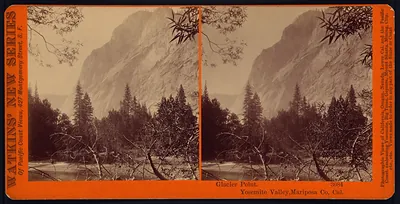 Glacier Point Yosemite Valley Mariposa co. Cal. (1879)
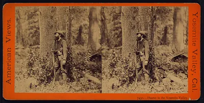 Hunter in the Yosemite Valley (1875)
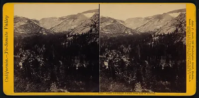 Little Yo-Semite Valley from Cap of Liberty (1870)
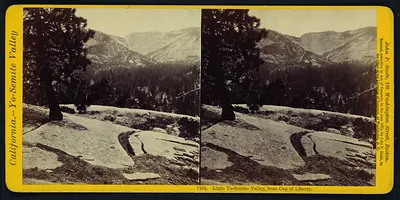 Little Yo-Semite Valley from Cap of Liberty (1870)
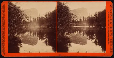 Mirror Lake Yosemite. (1879)
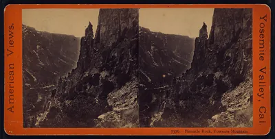 Pinnacle Rock Yosemite Mountain (1875)
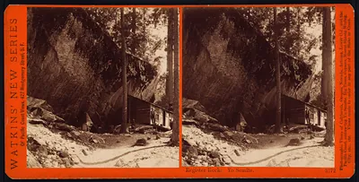 Register Rock Yosemite. (1879)
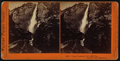 Upper Yosemite Fall 1600 feet Yosemite Valley Mariposa Co. (1871)
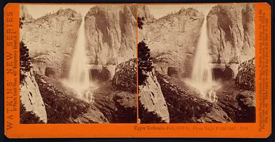 Upper Yosemite Fall 1600 ft. from Eagle Point Trail. (1879)
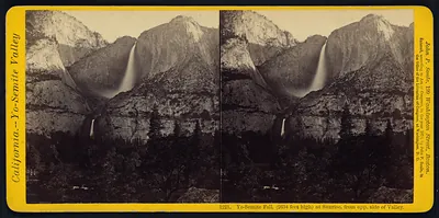 Yo-Semite Fall (2634 feet high) at sunrise from opp. side of valley (1870)
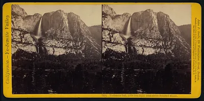 Yo-Semite Fall (2634 feet high) from above Sentinel House (1870)
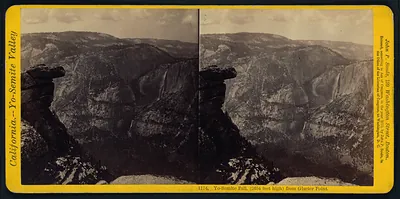 Yo-Semite Fall (2634 feet high) from Glacier Point (1870)
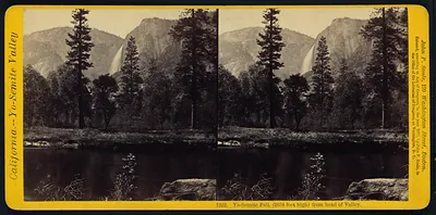 Yo-Semite Fall (2634 feet high) from head of valley (1870)
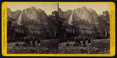 Yo-Semite Fall (2634 feet high) from near Sentinel House Boston excursion party (1870)
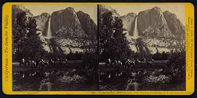 Yo-Semite Fall (2634 feet high) from near Sentinel House P.T. Barnum and party (1870)
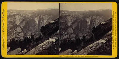 Yo-Semite Fall (2634 feet high) from Sentinel Dome (1870)
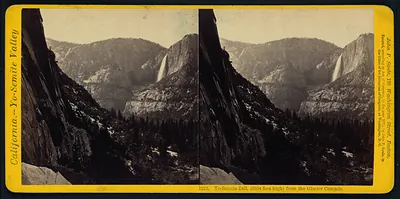 Yo-Semite Fall (2634 feet high) from the Glacier Cascade (1870)
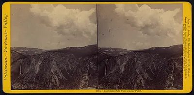 Yo-Semite Fall from Glacier Point (1870)
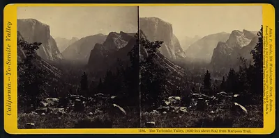 The Yo-Semite Valley (4060 feet above sea) from Mariposa Trail (1870)
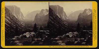 The Yo-Semite Valley (4060 feet above sea) from Mariposa Trail (1870)
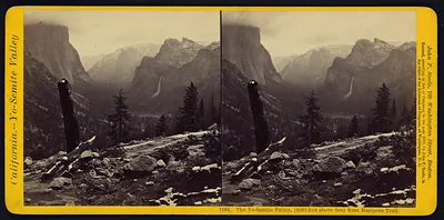 The Yo-Semite Valley (4060 feet above sea) from Mariposa Trail (1870)
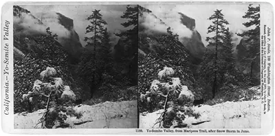 Yo-Semite Valley from Mariposa Trail after snow storm in June (1870)
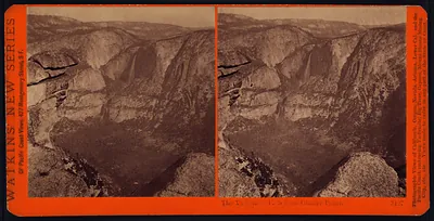 The Yosemite Falls from Glacier Point. (1879)
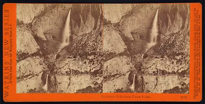 Yosemite Falls from Union Point. (1879)
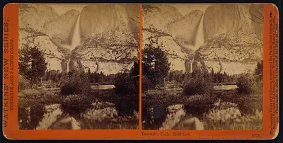 Yosemite Falls 2630 feet Yosemite Valley Mariposa County Cal. (1871)
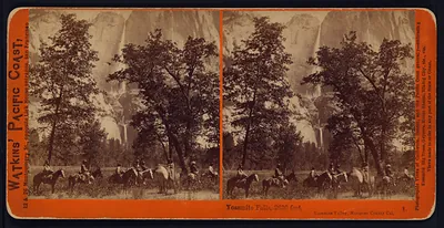 Yosemite Falls 2630 feet Yosemite Valley Mariposa County Cal. (1871)
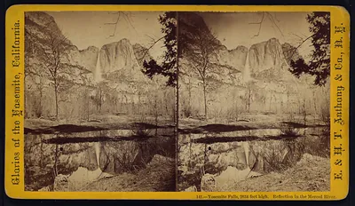 Yosemite Falls 2634 feet high. Reflection in the Merced River (1875)
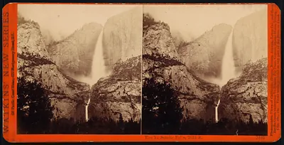 The Yosemite Falls 2634 ft. (1879)
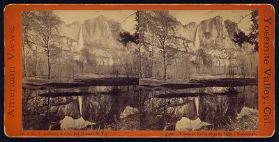 Yosemite Falls 2634 ft. high. Reflections (1875)
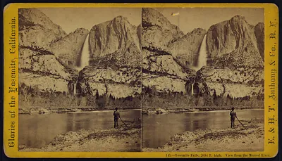 Yosemite Falls 2634 ft. high. View from the Merced River (1875)
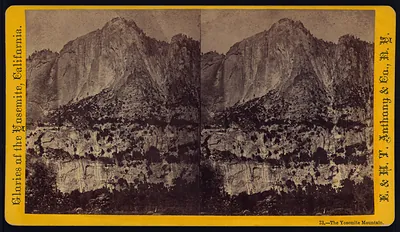 The Yosemite Mountain (1875)
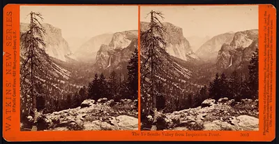 The Yosemite Valley from Inspiration Point. (1879)
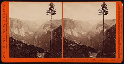 The Yosemite Valley from the old Mariposa Trail. (1879)
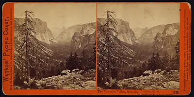 The Yosemite Valley from the Mariposa Trail Yosemite Valley Mariposa County Cal. (1871)
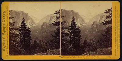 The Yosemite Valley from the Mariposa Trail Yosemite Valley Mariposa County Cal. (1871)
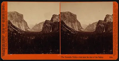 The Yosemite Valley-view near the foot of the Valley. (1879)
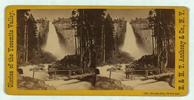 Nevada Falls, 700 feet high
Yosemite Roads
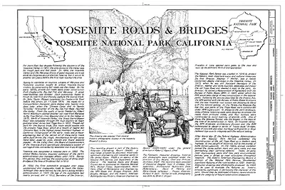 Yosemite Roads & Bridges, Yosemite National Park, California
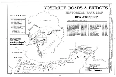 Yosemite Roads & Bridges Historical Base Map, 1874-Present
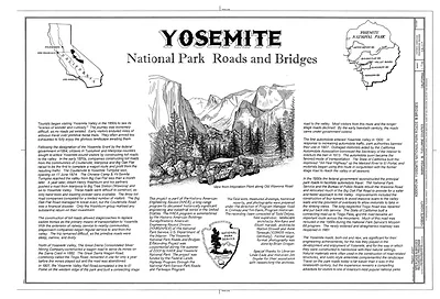 Yosemite National Park Roads and Bridges
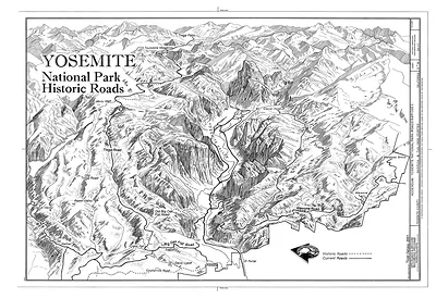 Yosemite National Park Historic Roads bird's-eye map
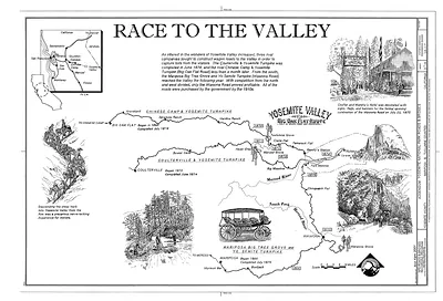 Race to the Valley: Yosemite turnpike roads map
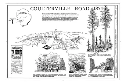 Coulterville Road 1874
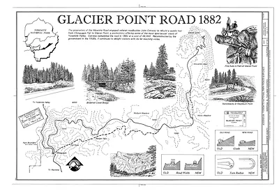 Glacier Point Road 1882
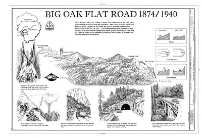 Big Oak Flat Road 1874/1940 illustrated map of Yosemite
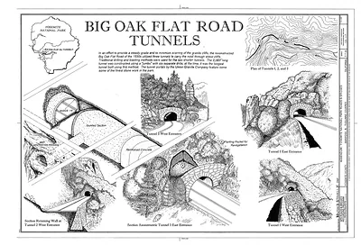 Big Oak Flat Road Tunnels
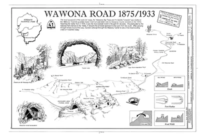 Wawona Road 1875/1933