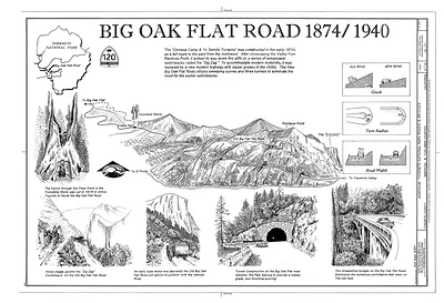
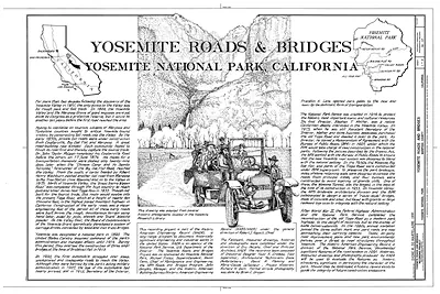
Race to the Valley: Yosemite turnpike roads map – Historic Map Reproduction

(Each image is professionally and digitally cleaned of artifacts such as color bars and extra borders prior to printing.)
Description
This antique map of Race to the Valley: Yosemite turnpike roads map brings a moment of history to your wall. It is part of the Snapshots of the Past archive, gathered over 25 years of research.
Framed, it is ready for the wall; unframed, it is ready for the frame you choose. Perfect for a home, office, library or classroom wall, and a gift with a story behind it. Free shipping in the lower 48 states. Since 2001, Snapshots of the Past has shipped historic prints to tens of thousands of customers around the world.
Race to the Valley: Yosemite turnpike roads map
Order a print
Thank you. Your order went through, and a receipt is on its way by email.
Secure checkout · SSL encryptedPowered by Stripe and PayPal
Free shipping in the lower 48 states. The checkout page shows the picture, size and price before you pay.
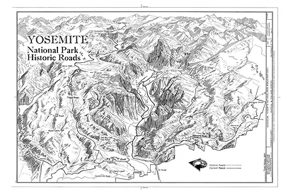
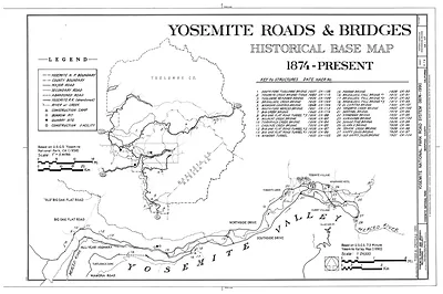
This map traces the rival turnpike roads that carried travelers from the foothills into Yosemite Valley, a route competition named in its title. After Congress granted the valley and the Mariposa Big Trees to California in 1864, private companies built and charged tolls on the roads that brought visitors up the steep western slopes. Stagecoach lines pushed to shave hours off the trip, and each road promoted its scenery and speed. The map is a useful record of how a wilderness became a destination through the commercial roads that first made it reachable.
| Original scan | 14,411 × 9,799 px · prints to 48 × 33 in at 300 dpi |
|---|---|
| Reference | 00005a |
More from the Yosemite collection
Snapshots of the Past helps heritage brands, museums, historians and storytellers tell stories with history: historic prints, image licensing and historical storytelling drawn from more than 25 years of research and curation.