Massachusetts
162 historic pictures in the Massachusetts collection, in 6 sections, part of Cities. Each one can be ordered as a print or licensed, and the collection is a starting point for telling stories about the past.
Open the interactive boardThe Pilgrims did not land at Plymouth first. The Mayflower made landfall at the tip of Cape Cod in November 1620, anchored off what is now Provincetown, and the passengers signed the Mayflower Compact there before anyone went ashore. They spent about a month exploring the Cape before crossing the bay to settle at Plymouth in December.
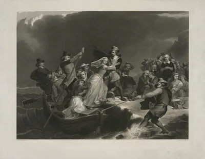
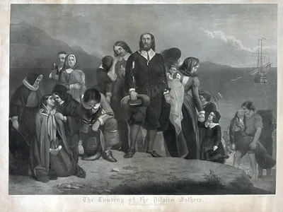
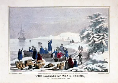
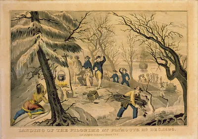
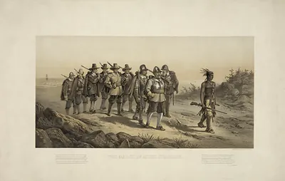
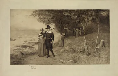
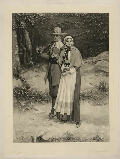
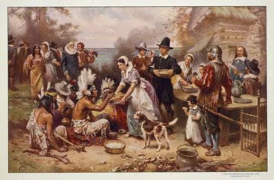
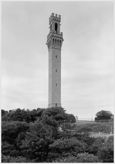
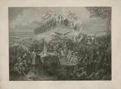
That story became a national founding myth in the 1800s, and the pictures show it happening. Plymouth Rock was identified by local tradition in 1741, more than a century after the landing, and it was moved, split and enshrined several times before it settled under its present canopy. The National Monument to the Forefathers went up in Plymouth in 1889. The Pilgrim Monument in Provincetown, a granite tower that looks like it belongs in Italy, was finished in 1910. Prints of the landing, the first Thanksgiving and the signing of the Compact were turned out by the thousands, and most of them were drawn by artists working 200 years after the fact.
Cape Cod itself was a working place long before it was a summer place. Its towns lived on fishing, whaling, saltworks and coastal shipping. Cranberries were first cultivated on the Cape in the early 1800s, and the bogs show up in pictures alongside windmills, weathered shingle houses and lighthouses set on eroding bluffs. The Cape Cod Canal opened in 1914 and cut the Cape off from the mainland by water, saving ships a dangerous run around the outer shore.
Southeastern Massachusetts had a different character again. New Bedford was the whaling capital of the world in the mid-1800s, and Fall River became one of the largest cotton textile centers in the country. Their photographs are of wharves, mill buildings and the neighborhoods of the people who worked in them.
Something worth noticing in the Cape pictures is how bare the land looks. Much of it had been cleared of trees for fuel, pasture and building by the 1800s, and the open, sandy, windswept country in old photographs is quite different from the pine-covered Cape of today.
Pages: 1 2
Massachusetts
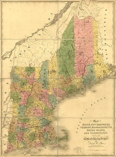 Map of Maine, New Hampshire, Vermont, Massachusetts, Rhode Island, and Connecticut (1839)
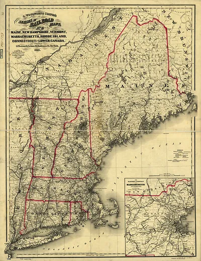 New England (1860)
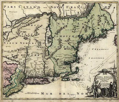 Nova Anglia map of New England and New York
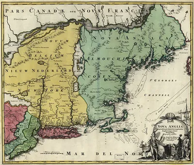 Nova Anglia
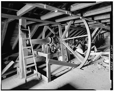 George Delano & Sons Oil Works, South & South Second Streets, New Bedford, Bristol County,
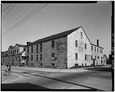 George Delano & Sons Oil Works, South & South Second Streets, New Bedford, Bristol County,
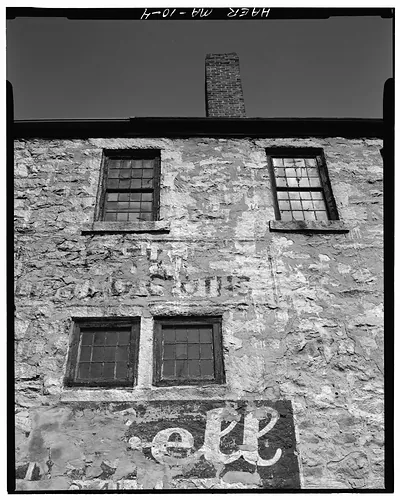 George Delano & Sons Oil Works, South & South Second Streets, New Bedford, Bristol County,
 Art exhibition, WPA Federal Art Project, New Bedford Free Public Library, Jan. 25 to Feb. (1938)
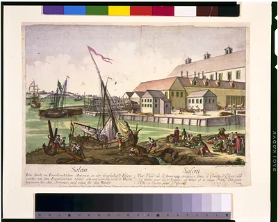 Vuë de Salem. Salem - eine stadt in Engelländischen America, in der Grafschafft Essex, ...
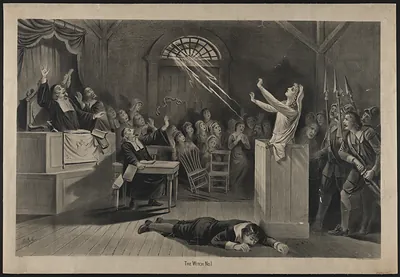 The witch no. 1 / J.E. Baker. (1892)
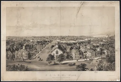 Salem, Mass. bird's-eye lithographic view of town
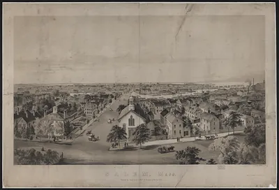 Salem, Mass.
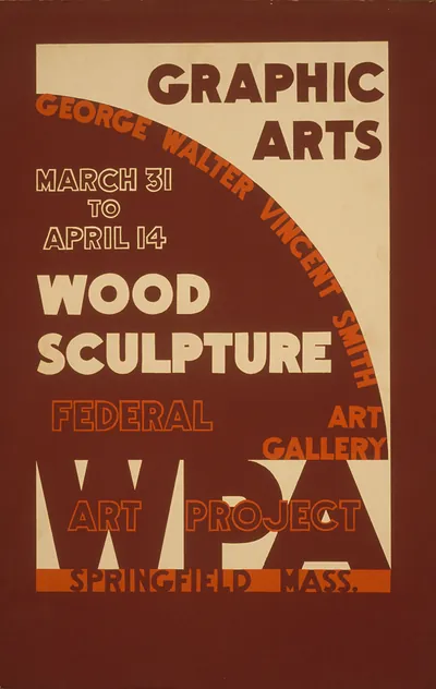 Graphic Arts WPA poster, Wood Sculpture exhibition, Springfield Mass.
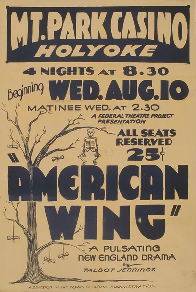 Mt. Park Casino Holyoke American Wing WPA theatre poster
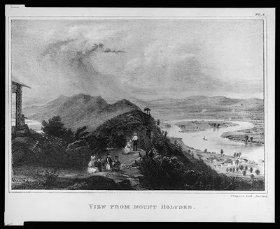 View from Mount Holyoke (Boston : Thayer's Li)
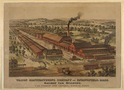 Wason Manufacturing Company of Springfield, Mass. Railway Car Builders
Cape Cod
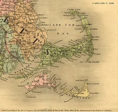 Cape Cod 1839
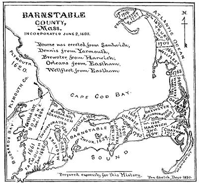 Barnstable County, Mass. historical map of Cape Cod
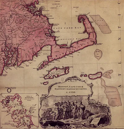 A Map of Boston, Cape Cod & Eastern Massachusetts, c.1755
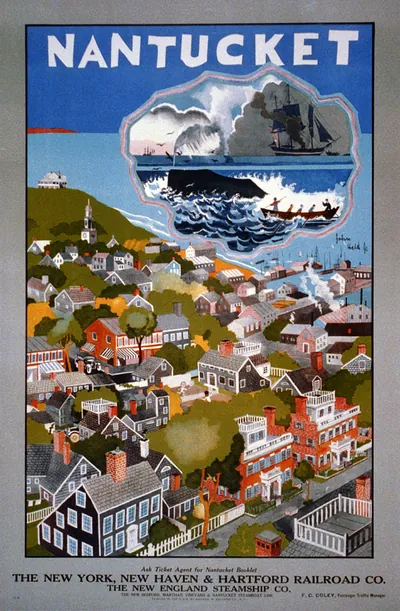 Nantucket: The New York, New Haven & Hartford Railroad Co. / John Held Jr. (New York : Andrew H.)
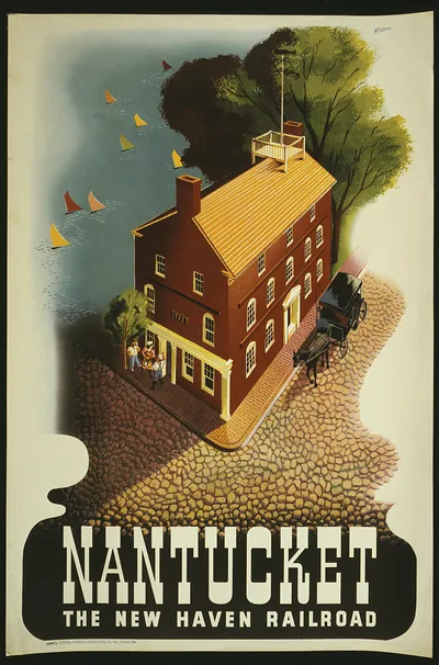 Nantucket. The New Haven Railroad / Nason. ([S.l. : s.n., ca. 19)
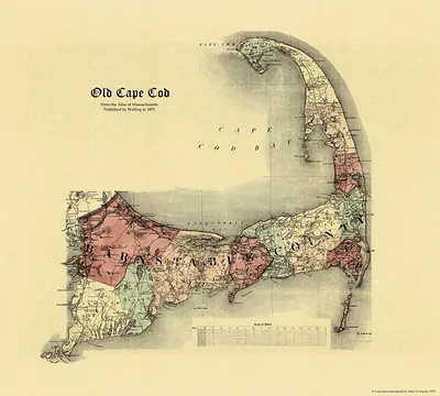 Old Cape Cod map, Atlas of Massachusetts 1871
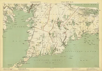 Upper Cape 1891 (George H. Walker)
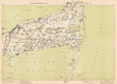 Mid Cape 1891 (George H. Walker)
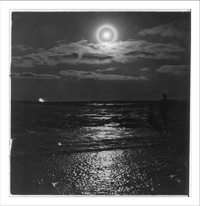 Moonlit sea with halo and silhouetted figure
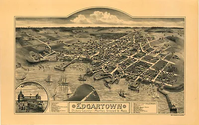 MA Edgartown 1886 (1886)
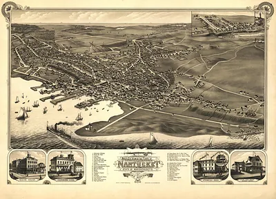 MA Nantucket 1881 (1881)
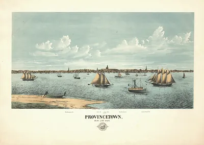 Provincetown from Long Point
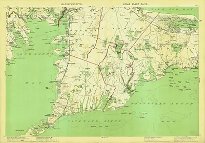 Atlas Plate No. 12: Map of Upper Cape Cod, Massachusetts
Cape Cod · Barnstable County
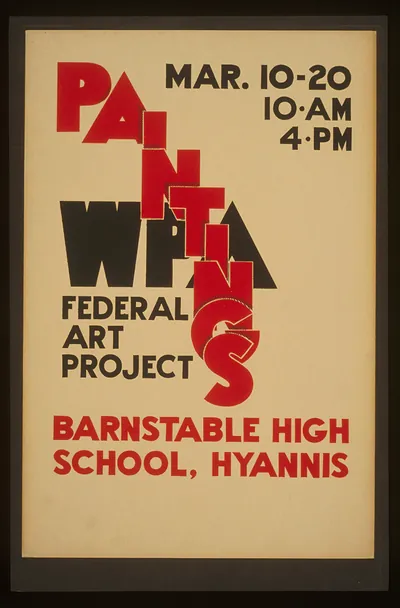 WPA Federal Art Project Paintings exhibition poster, Barnstable High School
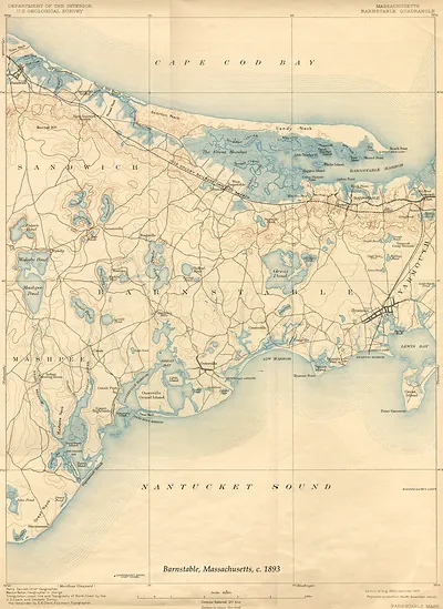 Barnstable, Massachusetts, USGS topographic map, 1893 (1893)
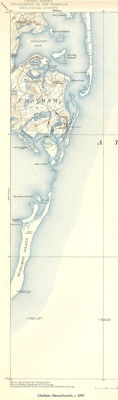 Chatham, Massachusetts, USGS Geological Survey map, c. 1893 (1893)
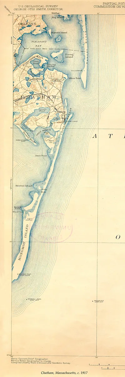 Chatham, Massachusetts USGS map, c. 1917 (1917)
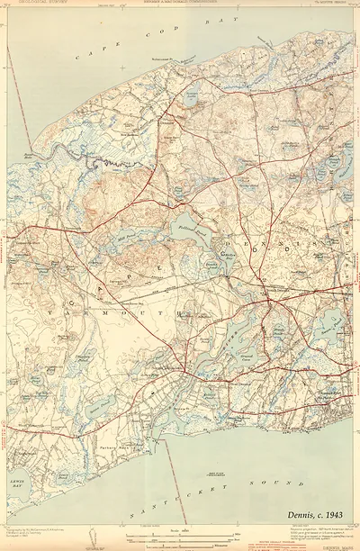 Dennis, Mass. USGS topographic map, c. 1943 (1943)
 Massachusetts Duxbury Sheet map of Massachusetts Bay
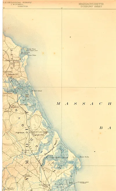 U.S. Geological Survey Duxbury Sheet map, Massachusetts coast
 Massachusetts Bay chart with Plymouth, Saquish Neck and Gurnet Point
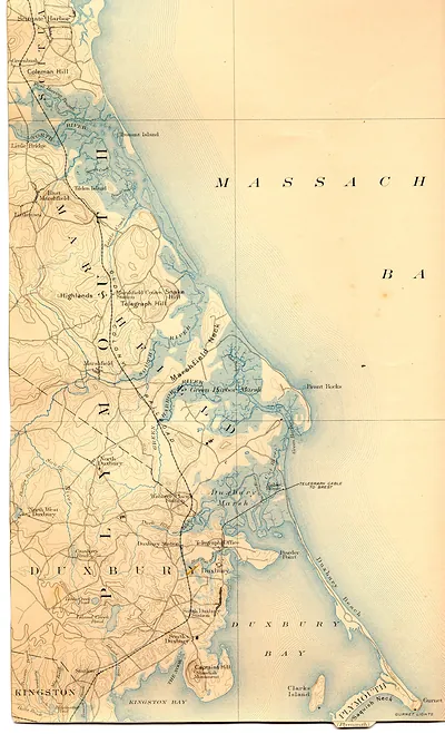 Duxbury Bay and Marshfield topographic map, Massachusetts Bay
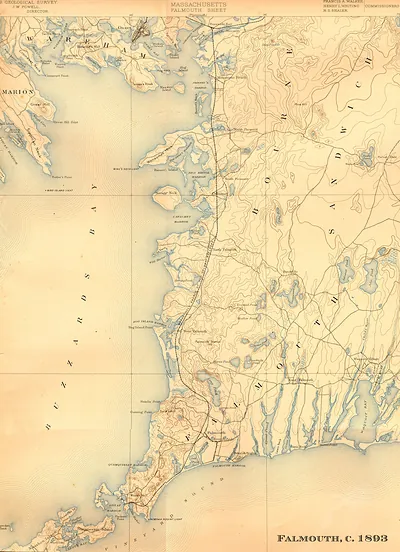 Falmouth Sheet, Massachusetts, U.S. Geological Survey topographic map, 1893 (1893)
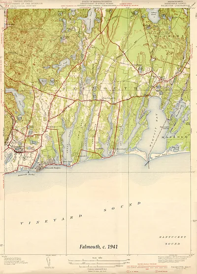 Falmouth Quadrangle topographic map, Massachusetts, c. 1941 (1941)
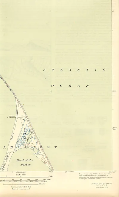 Great Point, Mass. topographic map, 1945 edition
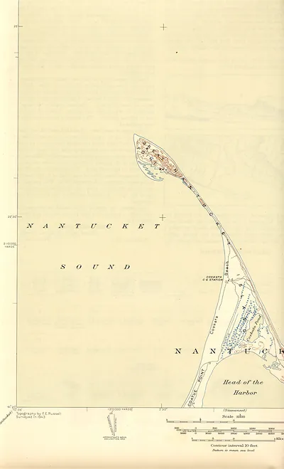 Topographic map of Nantucket, Coskata and Coatue Point
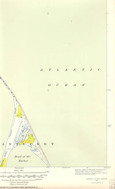 Great Point, Mass. topographic map, 1951, Nantucket Sound area
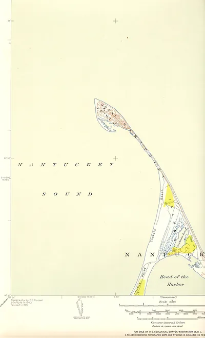 Topographic map of Great Point and Nantucket Sound
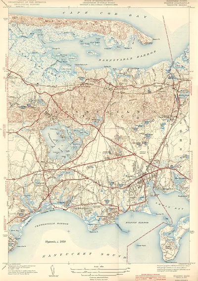 Hyannis Quadrangle topographic map, Barnstable County, Massachusetts (1939)
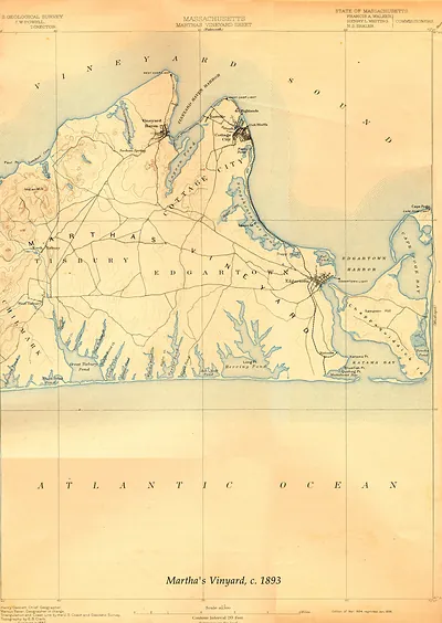 Massachusetts Martha's Vineyard Sheet, USGS topographic map, 1893 (1893)
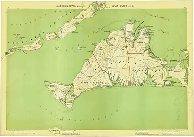 Massachusetts Atlas Plate No. 11: Martha's Vineyard map
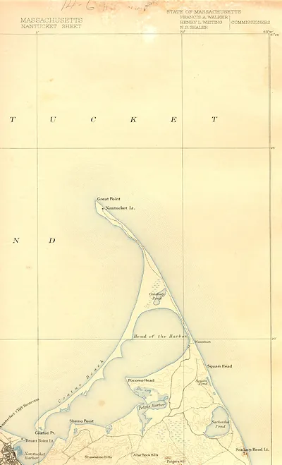 Massachusetts Nantucket Sheet, State of Massachusetts map
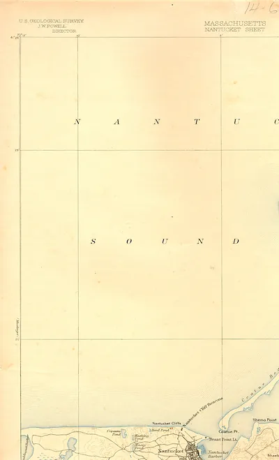 nant93nw
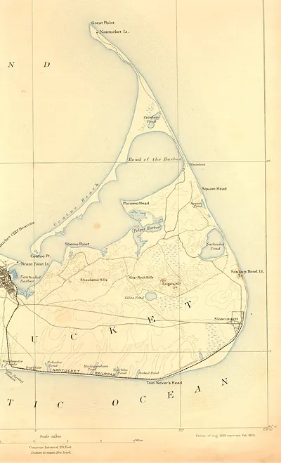 USGS topographic map of Nantucket Island, 1893 edition
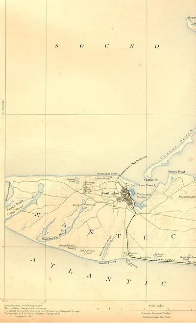 Topographic map of Nantucket island, 1887 survey
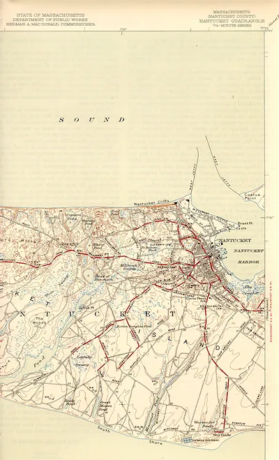 Nantucket Quadrangle topographic map, Massachusetts, 7.5-minute series
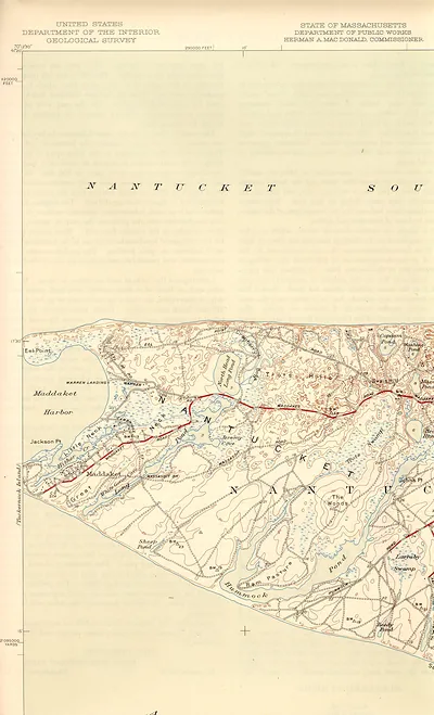 USGS topographic map of Nantucket, Maddaket and Eel Point area
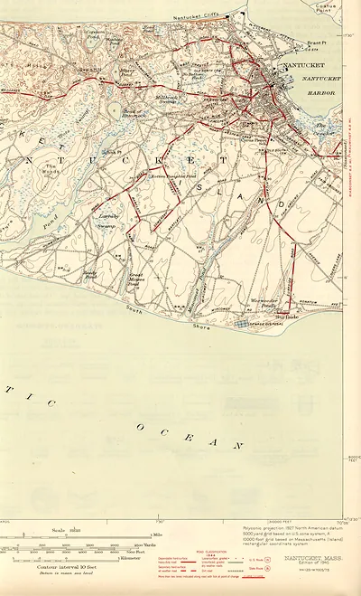 Nantucket, Massachusetts topographic map, 1945 edition
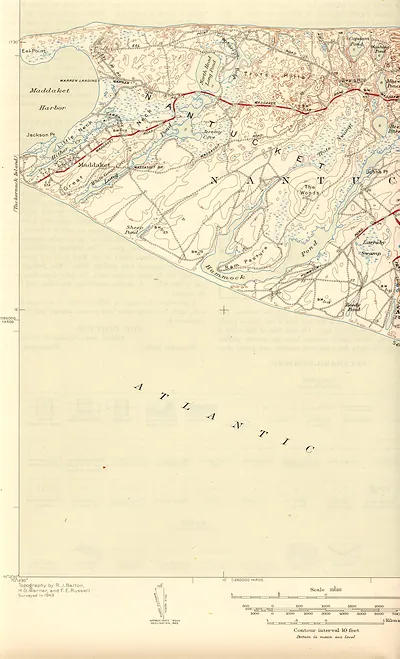 Topographic map of Nantucket showing Maddaket Harbor and Eel Point
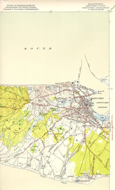 Massachusetts Nantucket Quadrangle topographic map, 7.5-minute series
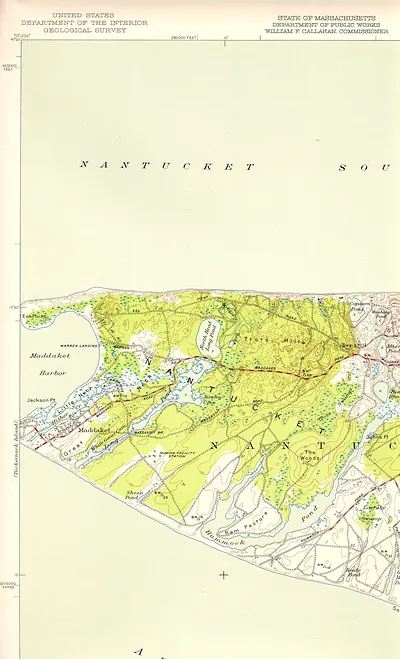 USGS topographic map of western Nantucket, Massachusetts
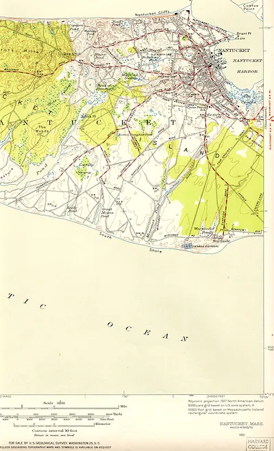 Nantucket, Mass. topographic map, 1951 USGS sheet
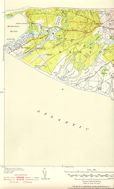 USGS topographic map of Nantucket, Maddaket Harbor area
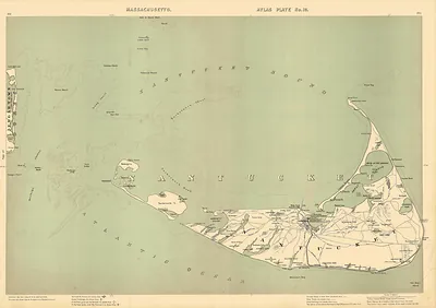 Massachusetts Atlas Plate No. 19: Nantucket Island map
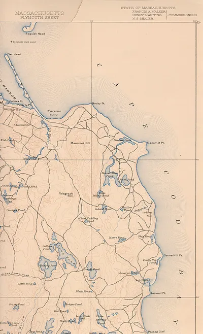 Massachusetts Plymouth Sheet, Cape Cod topographic map
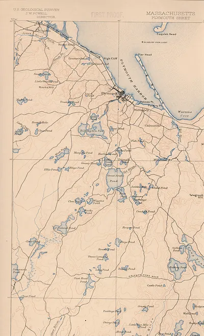 Massachusetts Plymouth Sheet topographic map, U.S. Geological Survey
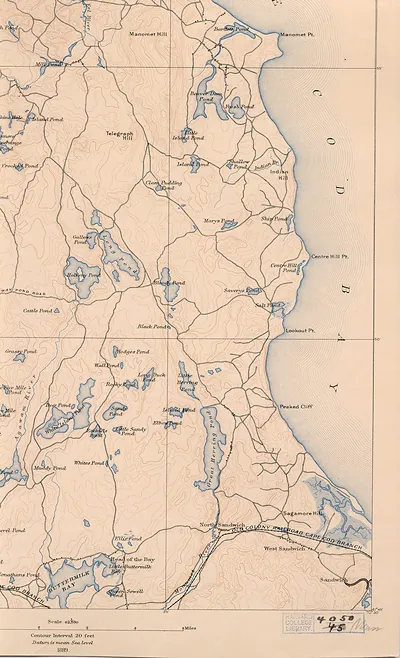 Topographic map of Sandwich and Cape Cod Bay, 1889
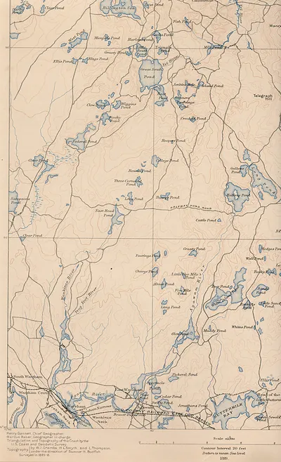 Topographic map of Wareham and Plymouth County ponds
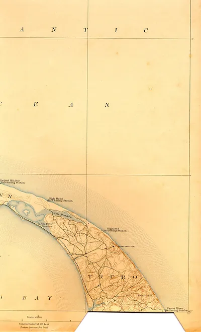 Topographic map of Truro and Cape Cod coast
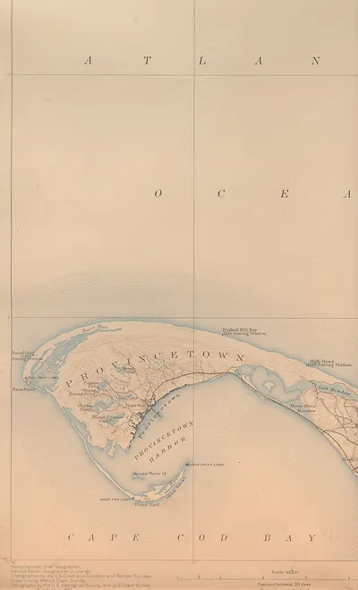 Provincetown and Cape Cod Bay topographic map
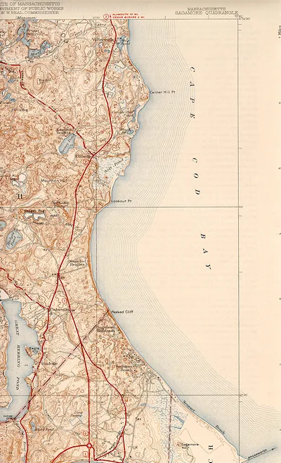 Sagamore Quadrangle topographic map, Massachusetts
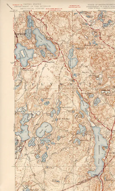 USGS topographic map of Plymouth, Massachusetts area
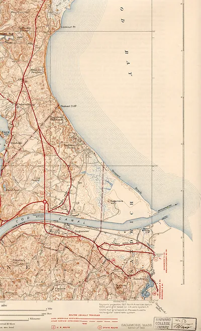 saga40se
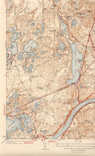 saga40sw
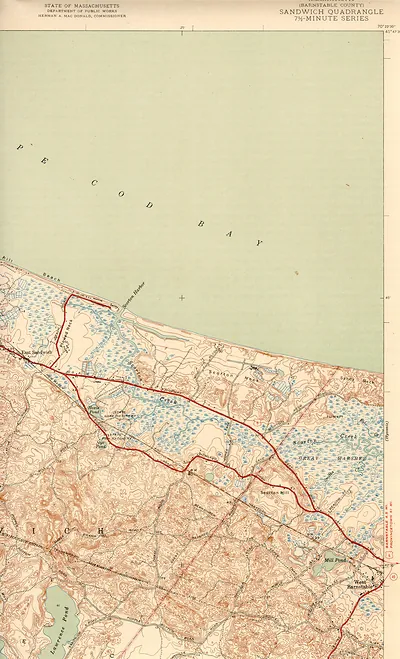 Sandwich Quadrangle topographic map, Barnstable County, Massachusetts
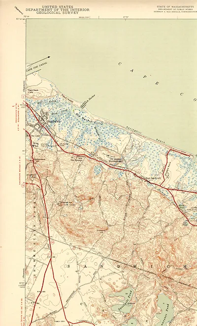 USGS topographic map of Sandwich, Massachusetts
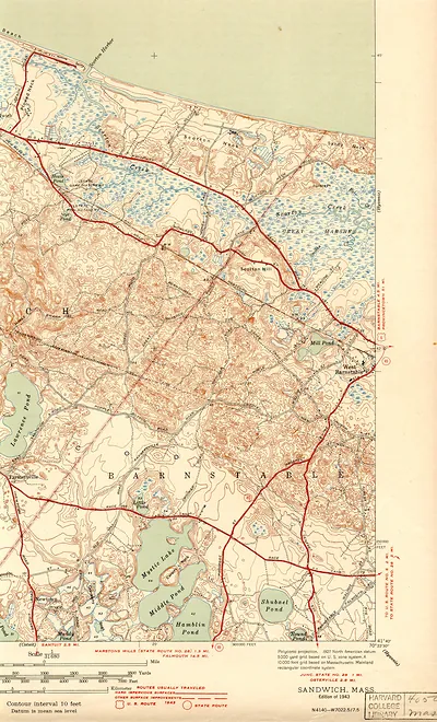 Sandwich, Mass. topographic map, edition of 1943
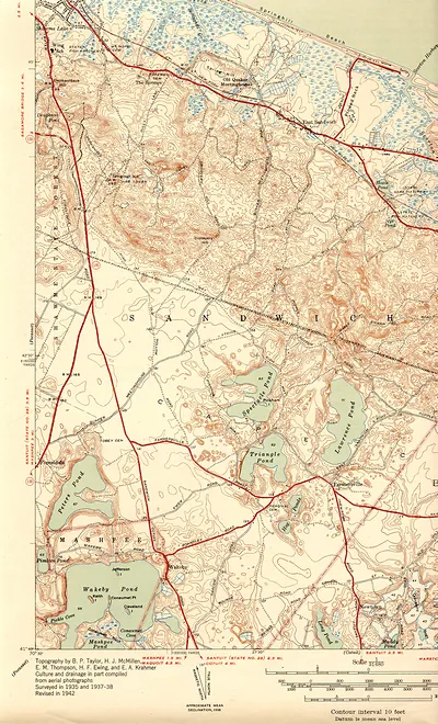 Topographic map of Sandwich and Mashpee, Massachusetts
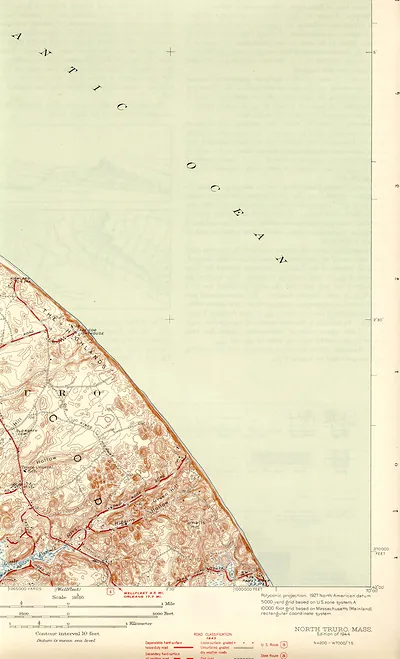 North Truro, Mass. topographic map, 1944 edition
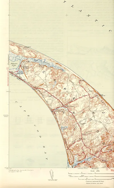 Topographic map of Truro and Cape Cod coastline
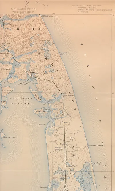 Wellfleet sheet topographic map of Massachusetts Cape Cod
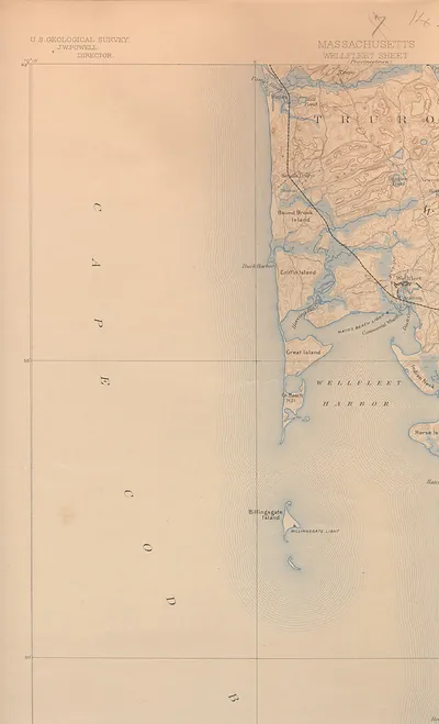 USGS Wellfleet Sheet map of Cape Cod, Massachusetts
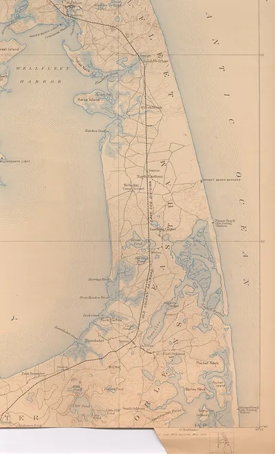 Map of the Cape Cod coast from Wellfleet to Orleans
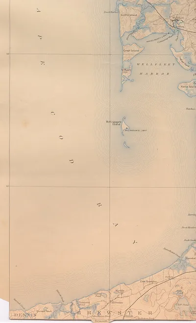 Wellfleet Harbor and Cape Cod Bay topographic map
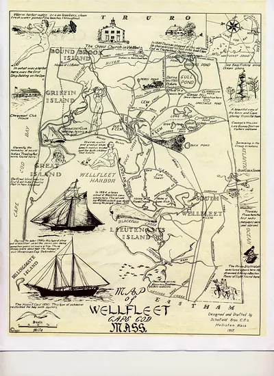 Wellfleet-1930 s-tourism, Massachusetts
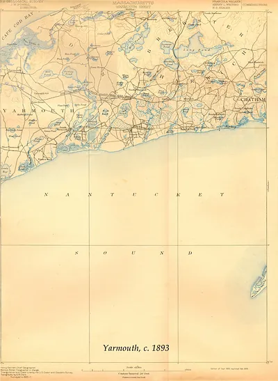 Yarmouth Sheet, Massachusetts, USGS topographic map, 1893 (1893)
Pilgrim Images
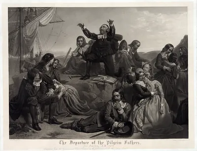 The Departure of the Pilgrim Fathers for America, 1620
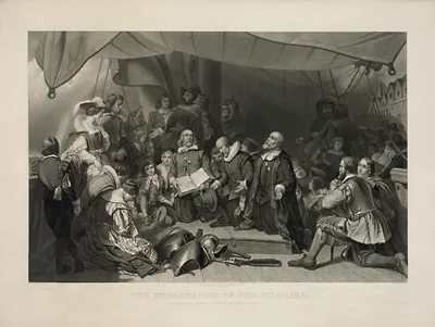 The Embarkation of the Pilgrims, engraved print
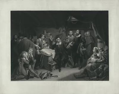 Pilgrims gathered in a cabin around a document, engraved
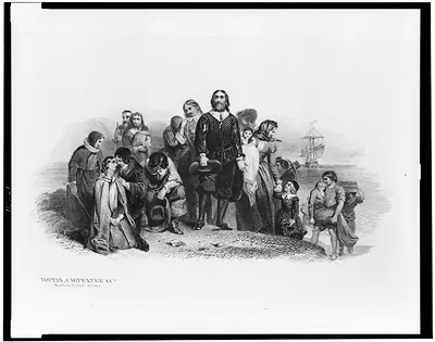 [Bank note illustration showing the landing of the Pilgrims at Plymouth] (New York : Toppan, C)
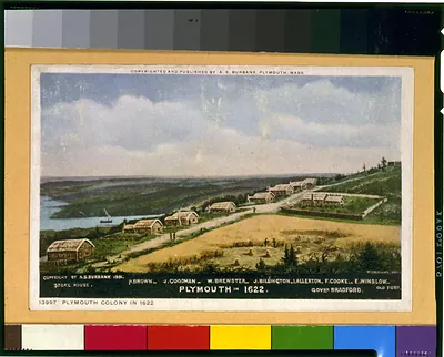 Plymouth in 1622 / W.L. Williams. (Plymouth, Mass. : A.)
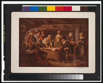 The Mayflower Compact 1620 / J.L.G. Ferris. (c1932 July 28.)
 Narcoti-cure Cures the tobacco habit in from 4 to 10 days ; Price $5.00 / Bradley. (Springfield, Mass., )
 The eleven of New England
 Autumn in New England: cider making ([New York] : Currier)
 New England scenery (New York : Published)
 Ninth annual New England Fair, at Lowell, Mass., Sept. 3, 4, 5 & 6 1872 / D. Drummond ; Ch (1875)
 The town of Boston in New England and British ships of war landing their troops! 1768 (1770)
 The witch no. 1 / J.E. Baker. (1892)
 The Seat of war in New England, by an American volunteer, with the marches of the several (1775)
 Old orchard a play of New England life by Marguerite Merington. (1900)
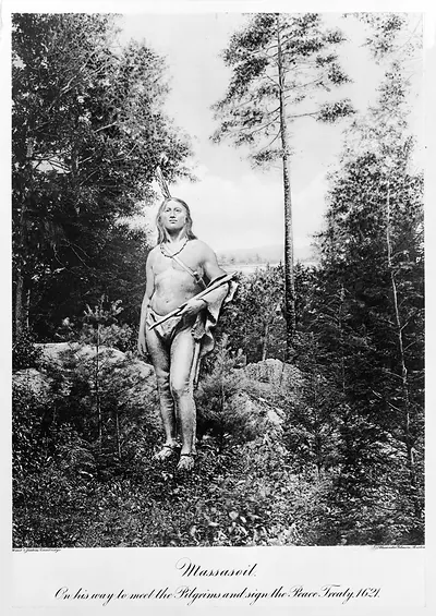 Massasoit, on his way to meet the Pilgrims and sign the Peace Treaty, 1621
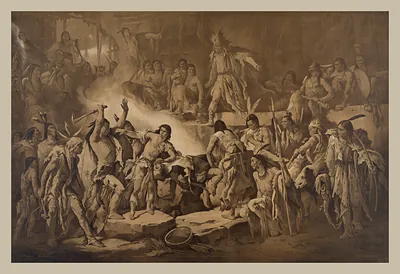 Sepia print of Native American figures around a fire
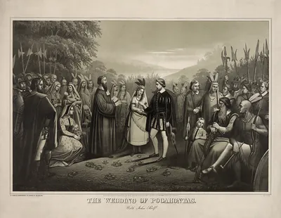 The Wedding of Pocahontas with John Rolfe
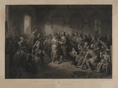 The Marriage of Pocahontas, engraving after a painting
 Stone tower rising above trees, black and white photograph
 Engraved historical monument with Washington and early settlers
 Royal Pageant, Pilgrim Tercentenary Pageant, Plymouth, Mass., 1921
 Massachusetts · Pilgrim Images
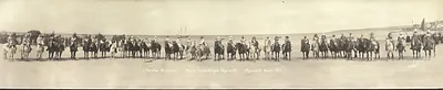 Panoramic photograph of mounted riders on a beach, Plymouth
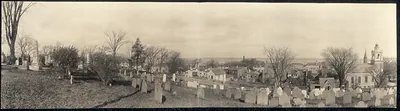 Panoramic view of a town with a hillside cemetery and church
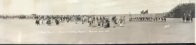 Royal Pageant, Pilgrim Tercentenary Pageant, Plymouth, Mass. 1921
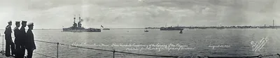 Warships at Provincetown, Mass., Pilgrim tercentenary, August 1920
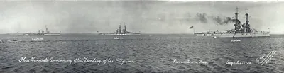 Three Hundredth Anniversary of the Landing of the Pilgrims, Provincetown, Mass
Pilgrim Images · Pilgrim
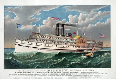 The Grand New Steamboat Pilgrim, the Largest in the World
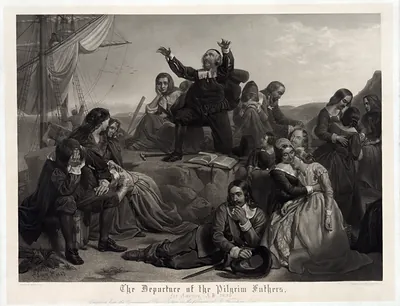 The Departure of the Pilgrim Fathers
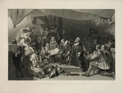 The Embarkation of the Pilgrims engraving on a ship deck
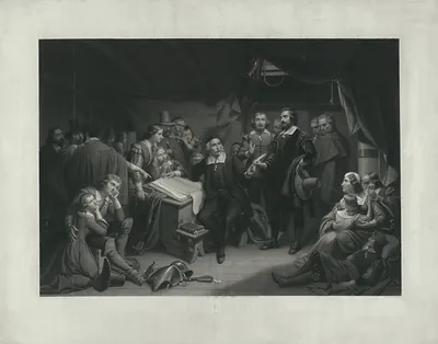 Engraved scene of Pilgrims gathered in a cabin around a document
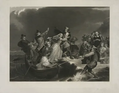 The eleven of New England
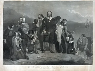 The Landing of the Pilgrim Fathers in America, A.D. 1620
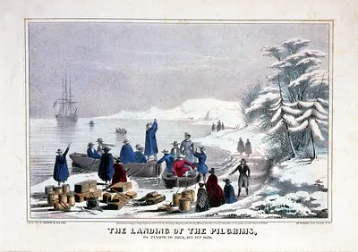 The Landing of the Pilgrims on Plymouth Rock, 1620
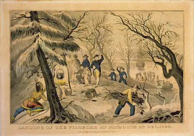 Landing of the Pilgrims at Plymouth, Dec. 1620
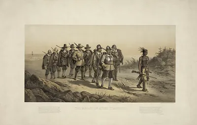 The March of Miles Standish
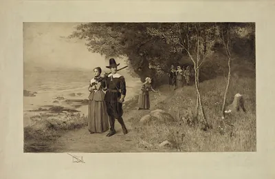 The witch no. 1 / J.E. Baker. (1892)
Pages: 1 2