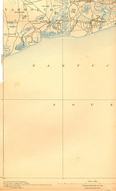
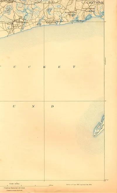
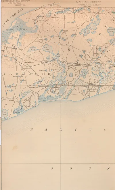
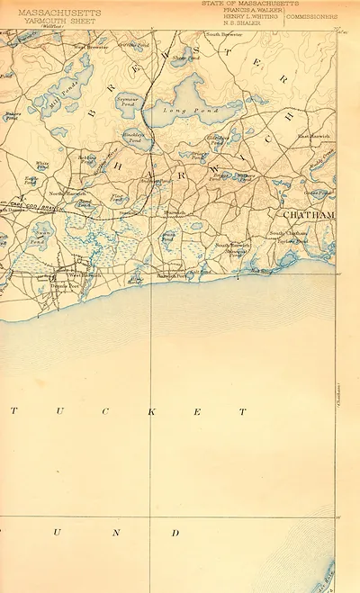
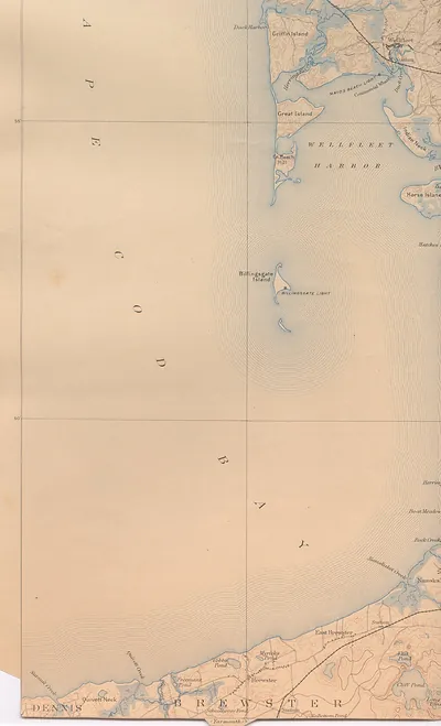
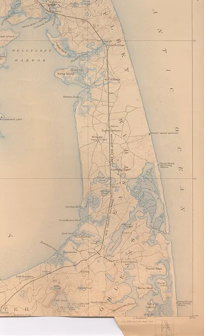
Wellfleet-1930 s-tourism, Massachusetts – Vintage Map Wall Art

(Each image is professionally and digitally cleaned of artifacts such as color bars and extra borders prior to printing.)
Description
A window into the past: Wellfleet-1930 s-tourism, Massachusetts, preserved in this antique map. Drawn from the Snapshots of the Past archive, it is an authentic piece of documented history.
The framed print arrives ready to hang; the unframed option suits custom framing. It makes a striking addition to a living room, study or office, and a thoughtful gift. Free shipping in the lower 48 states. Snapshots of the Past has been bringing history to the wall since 2001, for tens of thousands of customers worldwide.
Wellfleet-1930 s-tourism, Massachusetts
Order a print
Thank you. Your order went through, and a receipt is on its way by email.
Secure checkout · SSL encryptedPowered by Stripe and PayPal
Free shipping in the lower 48 states. The checkout page shows the picture, size and price before you pay.
Wellfleet, on the outer Cape in Barnstable County, Massachusetts, still drew most of its living from the water in the 1930s. Its harbor on Cape Cod Bay had long supported shellfishing, fishing and coastal trade, and the town's oysters were already known along the coast. Summer visitors were beginning to arrive in larger numbers, drawn by the bay beaches and the quieter pace of the outer Cape, so tourism sat alongside the older fishing economy rather than replacing it. Residents would have known the town for its harbor, its salt marshes and the boats working the flats at low tide. The September 1938 hurricane later battered shorelines across the Cape, reshaping beaches and waterfronts in the years that followed.
| Notes | Bird's-eye view map. |
|---|---|
| Subjects | Panoramic maps--Massachusetts |
| Original scan | 1,496 × 2,059 px · prints to 5 × 7 in at 300 dpi |
| Reference | Wellfleet-1930s-tourism |
More from the Panoramic Maps collection
Snapshots of the Past helps heritage brands, museums, historians and storytellers tell stories with history: historic prints, image licensing and historical storytelling drawn from more than 25 years of research and curation.