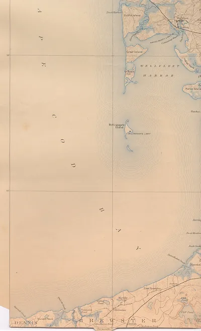
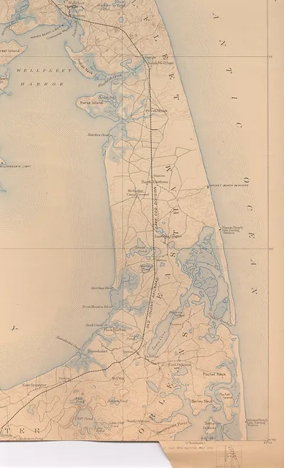
yarm 93 sw, Massachusetts – Antique Map Print

(Each image is professionally and digitally cleaned of artifacts such as color bars and extra borders prior to printing.)
Description
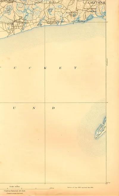
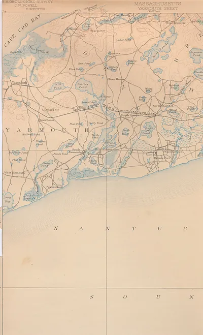
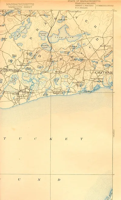
Yarm 93 sw, Massachusetts comes to life in this antique map, reproduced from the original with every detail intact. It is part of the Snapshots of the Past archive, gathered over 25 years of research.
Choose the framed print, ready to hang the day it arrives, or the unframed print for a frame of your own. Perfect for a home, office, library or classroom wall, and a gift with a story behind it. Free shipping in the lower 48 states. Since 2001, Snapshots of the Past has shipped historic prints to tens of thousands of customers around the world.
yarm 93 sw, Massachusetts
Order a print
Thank you. Your order went through, and a receipt is on its way by email.
Secure checkout · SSL encryptedPowered by Stripe and PayPal
Free shipping in the lower 48 states. The checkout page shows the picture, size and price before you pay.
Yarmouth, on the south shore of Cape Cod in Barnstable County, Massachusetts, is the subject of this bird's-eye view, which dates to roughly the early 1890s. By then the town's economy had shifted away from the seafaring and salt-making that had long supported it, and cranberry cultivation, dairy and small-scale farming, and the growing summer trade were becoming more important. The railroad, which had reached the Cape in the 1850s, linked villages like Yarmouth to Boston and Providence and brought in summer visitors who filled boarding houses and rented cottages along the shore. Many residents still lived in the white-shingled houses built by sea captains, and the town's civic life centered on its churches, schools, and village halls.
| Notes | Bird's-eye view map. |
|---|---|
| Subjects | Panoramic maps--Massachusetts |
| Original scan | 1,700 × 2,800 px · prints to 6 × 9 in at 300 dpi |
| Reference | yarm93sw |
More from the Panoramic Maps collection
Snapshots of the Past helps heritage brands, museums, historians and storytellers tell stories with history: historic prints, image licensing and historical storytelling drawn from more than 25 years of research and curation.