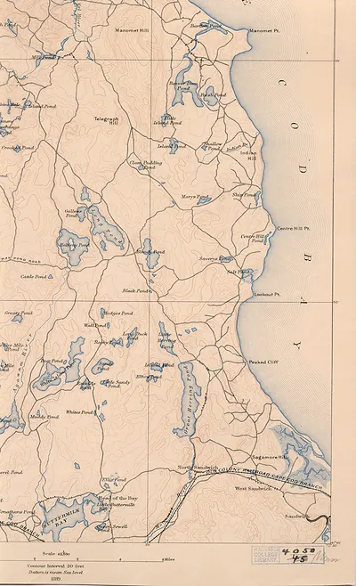
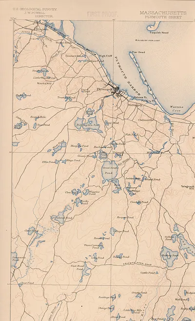
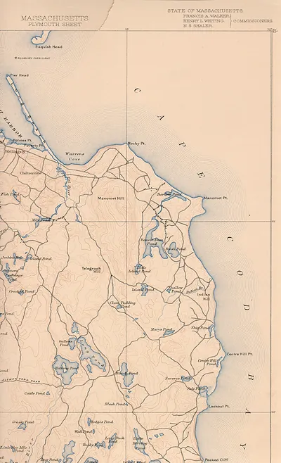
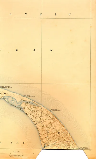
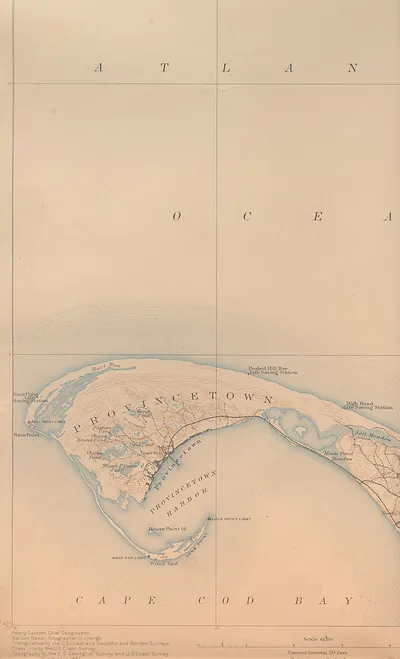
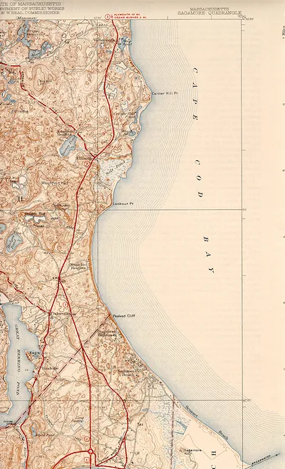
plym 89 sw, Massachusetts – Vintage Map Wall Art

(Each image is professionally and digitally cleaned of artifacts such as color bars and extra borders prior to printing.)
Description
Plym 89 sw, Massachusetts comes to life in this antique map, reproduced from the original with every detail intact. It is part of the Snapshots of the Past archive, gathered over 25 years of research.
Framed, it is ready for the wall; unframed, it is ready for the frame you choose. A conversation-starting piece for home, office, or as a meaningful gift. Free shipping in the lower 48 states. Since 2001, Snapshots of the Past has shipped historic prints to tens of thousands of customers around the world.
plym 89 sw, Massachusetts
Order a print
Thank you. Your order went through, and a receipt is on its way by email.
Secure checkout · SSL encryptedPowered by Stripe and PayPal
Free shipping in the lower 48 states. The checkout page shows the picture, size and price before you pay.
Plymouth, Massachusetts, in the late 1880s was a harbor town whose economy rested largely on the Plymouth Cordage Company, one of the biggest rope-making works in the country, which drew many of its workers from the town and surrounding villages. The Old Colony Railroad linked the town to Boston and the South Shore, carrying freight from the works and bringing a growing number of summer visitors to the shore. Residents also lived with the town's founding story, which the Pilgrim landing of 1620 kept before them through Forefathers' Day observances each December and through the rock on the waterfront that drew sightseers. Harbor traffic, church steeples, and the mill buildings along the water would have been the features most familiar to townspeople looking at a view like this one.
| Notes | Bird's-eye view map. |
|---|---|
| Subjects | Panoramic maps--Massachusetts |
| Original scan | 1,700 × 2,796 px · prints to 6 × 9 in at 300 dpi |
| Reference | plym89sw |
More from the Panoramic Maps collection
Snapshots of the Past helps heritage brands, museums, historians and storytellers tell stories with history: historic prints, image licensing and historical storytelling drawn from more than 25 years of research and curation.