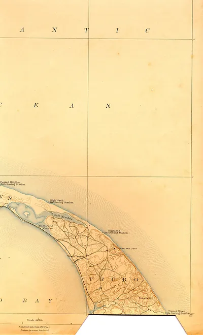
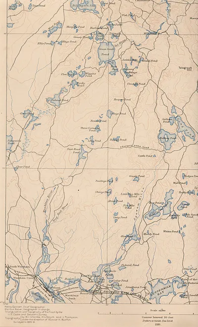
saga 40 ne, Massachusetts – Vintage Map Wall Art

(Each image is professionally and digitally cleaned of artifacts such as color bars and extra borders prior to printing.)
Description
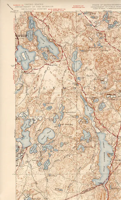
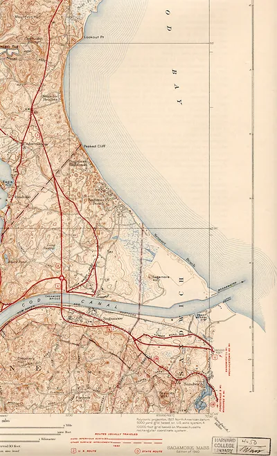
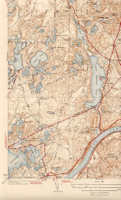
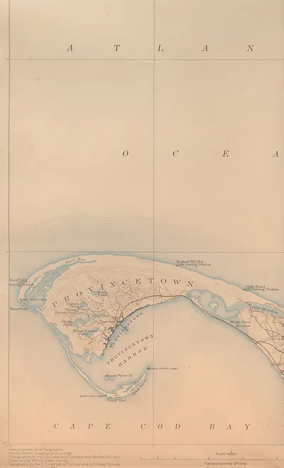
This antique map of saga 40 ne, Massachusetts brings a moment of history to your wall. It comes from the Snapshots of the Past collection, curated over 25 years for its historical value.
Choose the framed print, ready to hang the day it arrives, or the unframed print for a frame of your own. A conversation-starting piece for home, office, or as a meaningful gift. Free shipping in the lower 48 states. Snapshots of the Past has been bringing history to the wall since 2001, for tens of thousands of customers worldwide.
saga 40 ne, Massachusetts
Order a print
Thank you. Your order went through, and a receipt is on its way by email.
Secure checkout · SSL encryptedPowered by Stripe and PayPal
Free shipping in the lower 48 states. The checkout page shows the picture, size and price before you pay.
Cape Cod, Massachusetts, in the late nineteenth and early twentieth centuries was a set of small towns that lived by the water. Fishing fleets worked out of harbors along Cape Cod Bay and the Atlantic shore, salt works and coastal schooners carried goods along the coast, and whaling, once central to towns like Provincetown, had largely faded by the 1860s. Cranberry bogs spread across the sandy lowlands, and the railroad that reached Hyannis in 1854 brought summer visitors who filled hotels and boarding houses in Falmouth, Provincetown and other shore villages. Residents knew the peninsula for its shifting sandbars, fierce storms and long ship routes around its tip, which made the proposal for a canal across the base of the Cape a matter of local interest.
| Notes | Bird's-eye view map. |
|---|---|
| Subjects | Panoramic maps--Massachusetts |
| Original scan | 1,700 × 2,800 px · prints to 6 × 9 in at 300 dpi |
| Reference | saga40ne |
More from the Panoramic Maps collection
Snapshots of the Past helps heritage brands, museums, historians and storytellers tell stories with history: historic prints, image licensing and historical storytelling drawn from more than 25 years of research and curation.