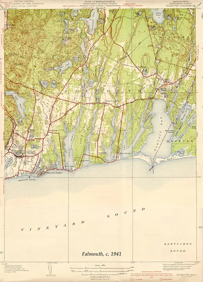
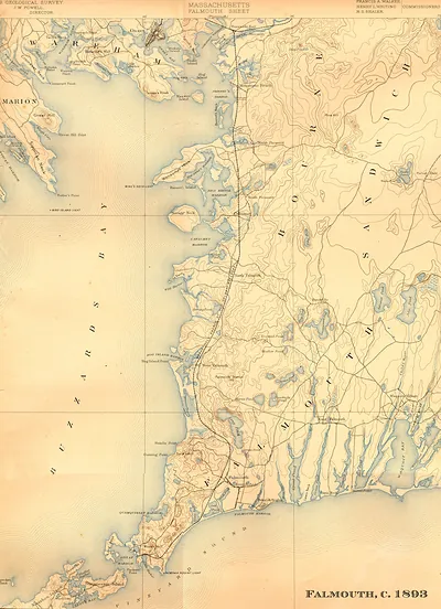
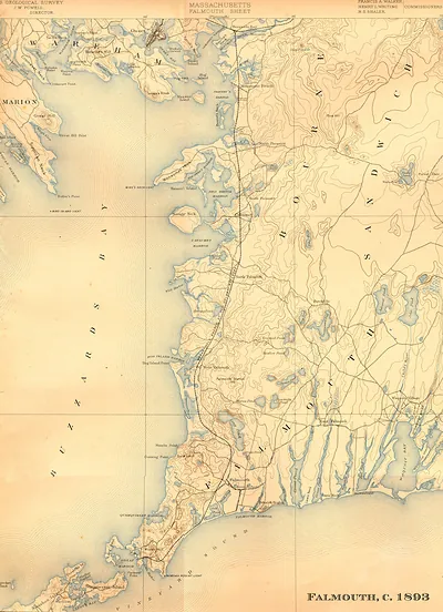
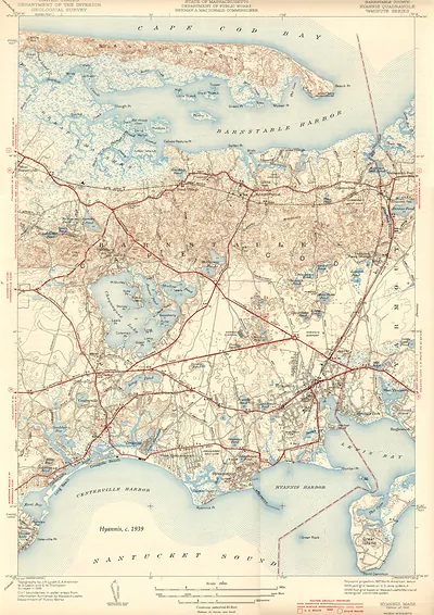
Falmouth USGS, Massachusetts, 1941 – Vintage Map Wall Art

(Each image is professionally and digitally cleaned of artifacts such as color bars and extra borders prior to printing.)
Description
Few images capture their era like this antique map of Falmouth USGS, Massachusetts, 1941. It is part of the Snapshots of the Past archive, gathered over 25 years of research.
Order it framed and ready to hang, or unframed to match a frame you already love. Perfect for a home, office, library or classroom wall, and a gift with a story behind it. Free shipping in the lower 48 states. Snapshots of the Past has been bringing history to the wall since 2001, for tens of thousands of customers worldwide.
Falmouth USGS, Massachusetts, 1941
Order a print
Thank you. Your order went through, and a receipt is on its way by email.
Secure checkout · SSL encryptedPowered by Stripe and PayPal
Free shipping in the lower 48 states. The checkout page shows the picture, size and price before you pay.
In 1941 Falmouth was still a town of small harbors, cranberry bogs, and summer cottages at the southwest corner of Cape Cod. The September 1938 hurricane had battered its shoreline only three years earlier, and residents were still repairing waterfront property and boats. Woods Hole, the village at the town's southern tip, had gained the Woods Hole Oceanographic Institution in 1930, adding to the fisheries and marine laboratories already there. Fishing and cranberry growing still supported many families, while summer visitors filled boarding houses and rented cottages along the beaches each season. Within months the United States would enter the Second World War, and many of the town's young men would soon leave the harbors for military service.
| Created / published | 1941 |
|---|---|
| Notes | Bird's-eye view map. |
| Subjects | Panoramic maps--Massachusetts |
| Original scan | 6,600 × 9,160 px · prints to 22 × 31 in at 300 dpi |
| Reference | MA-Falmouth USGS 1941 |
More from the Panoramic Maps collection
Snapshots of the Past helps heritage brands, museums, historians and storytellers tell stories with history: historic prints, image licensing and historical storytelling drawn from more than 25 years of research and curation.