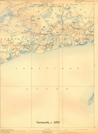
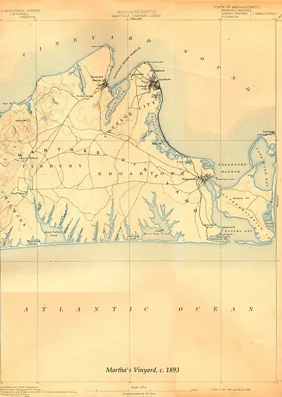
Falmouth USGS 1941-GC, Massachusetts – Antique Map Print

(Each image is professionally and digitally cleaned of artifacts such as color bars and extra borders prior to printing.)
Description
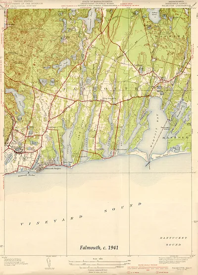
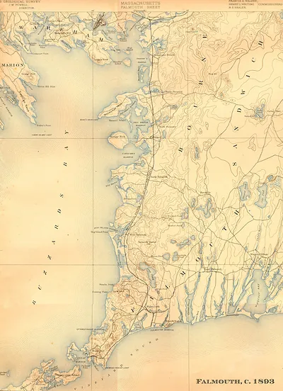
A window into the past: Falmouth USGS 1941-GC, Massachusetts, preserved in this antique map. Drawn from the Snapshots of the Past archive, it is an authentic piece of documented history.
The framed print arrives ready to hang; the unframed option suits custom framing. A fine choice for anyone who loves history, and a gift that gets noticed. Free shipping in the lower 48 states. Snapshots of the Past has been bringing history to the wall since 2001, for tens of thousands of customers worldwide.
Falmouth USGS 1941-GC, Massachusetts
Order a print
Thank you. Your order went through, and a receipt is on its way by email.
Secure checkout · SSL encryptedPowered by Stripe and PayPal
Free shipping in the lower 48 states. The checkout page shows the picture, size and price before you pay.
Falmouth in 1941 was still recovering from the New England hurricane of September 1938, which tore through the shore, flooded the harbor and waterfront, and destroyed many beachfront cottages. The Woods Hole Oceanographic Institution, chartered in 1930, had become the town's newer scientific anchor, and its research vessels worked the same coastal waters local fishermen had long depended on. Inland on the Upper Cape, the Massachusetts National Guard's Camp Edwards drew soldiers for training, and a military airfield developed nearby in the late 1930s was taking shape. As war in Europe grew closer that year, residents watched the village centers, the harbor, and the summer colony keep to the seasonal rhythms that had shaped the town for generations.
| Notes | Bird's-eye view map. |
|---|---|
| Subjects | Panoramic maps--Massachusetts |
| Original scan | 3,150 × 4,372 px · prints to 10 × 15 in at 300 dpi |
| Reference | Falmouth USGS 1941-GC |
More from the Panoramic Maps collection
Snapshots of the Past helps heritage brands, museums, historians and storytellers tell stories with history: historic prints, image licensing and historical storytelling drawn from more than 25 years of research and curation.