trur 44 se, Massachusetts – Antique Wall Map

(Each image is professionally and digitally cleaned of artifacts such as color bars and extra borders prior to printing.)
Description
This antique map of trur 44 se, Massachusetts brings a moment of history to your wall. Drawn from the Snapshots of the Past archive, it is an authentic piece of documented history.
Framed, it is ready for the wall; unframed, it is ready for the frame you choose. A conversation-starting piece for home, office, or as a meaningful gift. Free shipping in the lower 48 states. Since 2001, Snapshots of the Past has shipped historic prints to tens of thousands of customers around the world.
trur 44 se, Massachusetts
Order a print
Thank you. Your order went through, and a receipt is on its way by email.
Secure checkout · SSL encryptedPowered by Stripe and PayPal
Free shipping in the lower 48 states. The checkout page shows the picture, size and price before you pay.
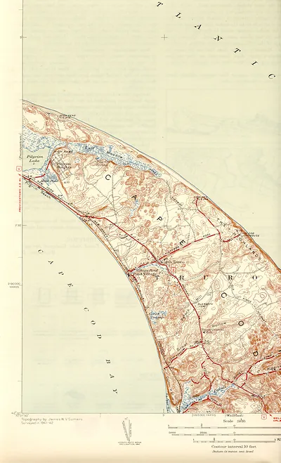
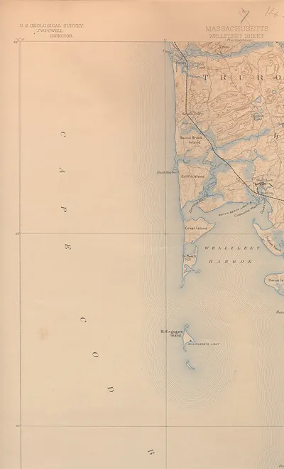
Truro, on the outer arm of Cape Cod, was a small fishing and farming town when this bird's-eye view was drawn. Its people had long depended on the sea, sending men out for cod and mackerel and on coastal voyages, while the thin sandy soil supported only modest crops. Highland Light, the lighthouse on the bluffs at the town's northern edge, guided vessels past the dangerous shoals and was the landmark residents would have known best. Truro was spread across several villages rather than one dense center, so the town appeared as scattered houses, roads, and open land along the shore.
| Notes | Bird's-eye view map. |
|---|---|
| Subjects | Panoramic maps--Massachusetts |
| Original scan | 1,700 × 2,800 px · prints to 6 × 9 in at 300 dpi |
| Reference | trur44se |
More from the Panoramic Maps collection
Snapshots of the Past helps heritage brands, museums, historians and storytellers tell stories with history: historic prints, image licensing and historical storytelling drawn from more than 25 years of research and curation.