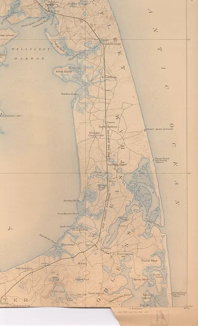
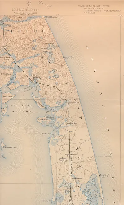
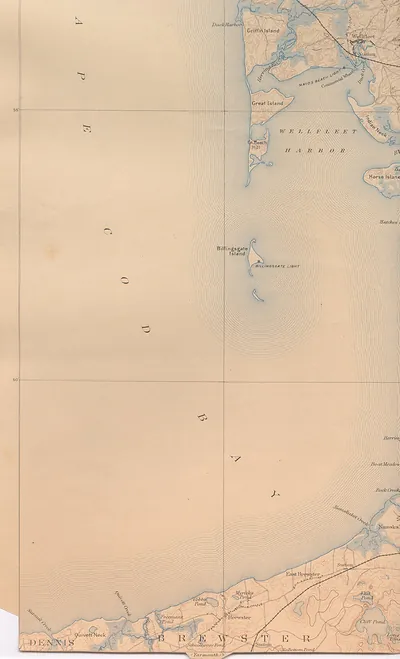
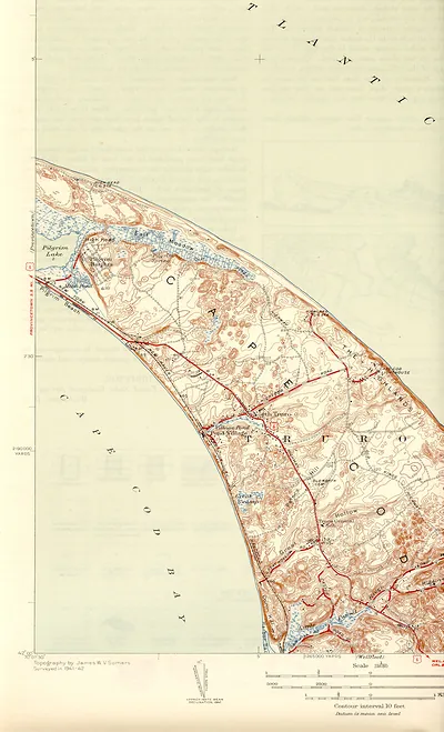
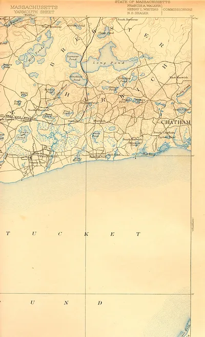
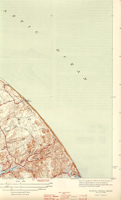
well 93 nw, Massachusetts – Antique Map Print

(Each image is professionally and digitally cleaned of artifacts such as color bars and extra borders prior to printing.)
Description
Well 93 nw, Massachusetts comes to life in this antique map, reproduced from the original with every detail intact. It comes from the Snapshots of the Past collection, curated over 25 years for its historical value.
Order it framed and ready to hang, or unframed to match a frame you already love. Perfect for a home, office, library or classroom wall, and a gift with a story behind it. Free shipping in the lower 48 states. Snapshots of the Past, founded in 2001, has served tens of thousands of customers worldwide.
well 93 nw, Massachusetts
Order a print
Thank you. Your order went through, and a receipt is on its way by email.
Secure checkout · SSL encryptedPowered by Stripe and PayPal
Free shipping in the lower 48 states. The checkout page shows the picture, size and price before you pay.
Cape Cod, the hooked peninsula at the southeastern edge of Massachusetts, spent the later nineteenth and early twentieth centuries moving away from the whaling and deep-sea fishing that had once filled its harbors. Railroad lines reaching the Cape after the 1840s carried cranberries, salt fish, and summer visitors from Boston, and cranberry bogs spread through the low, sandy hollows between the towns. The Cape Cod Canal, opened in 1914, gave coastal shipping a route across the neck of land that avoided the treacherous waters off the Cape's outer shoals. By then, boarding houses and hotels were drawing city families to the beaches, and many residents who had worked on schooners or in the salt works were turning to farming, hotels, and seasonal trade for a living.
| Notes | Bird's-eye view map. |
|---|---|
| Subjects | Panoramic maps--Massachusetts |
| Original scan | 1,700 × 2,800 px · prints to 6 × 9 in at 300 dpi |
| Reference | well93nw |
More from the Panoramic Maps collection
Snapshots of the Past helps heritage brands, museums, historians and storytellers tell stories with history: historic prints, image licensing and historical storytelling drawn from more than 25 years of research and curation.