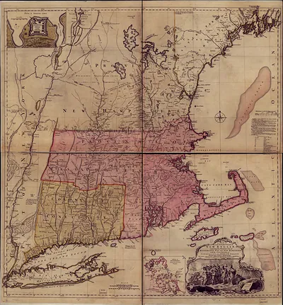
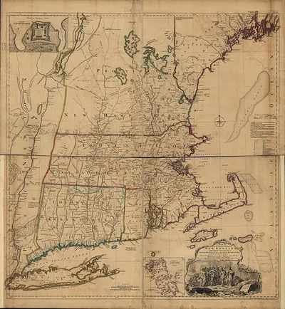
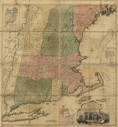
Cape Cod Thos Jefferys, Massachusetts, 1755 – Antique Wall Map

(Each image is professionally and digitally cleaned of artifacts such as color bars and extra borders prior to printing.)
Description
This antique map of Cape Cod Thos Jefferys, Massachusetts, 1755 brings a moment of history to your wall. It comes from the Snapshots of the Past collection, curated over 25 years for its historical value.
The framed print arrives ready to hang; the unframed option suits custom framing. Perfect for a home, office, library or classroom wall, and a gift with a story behind it. Free shipping in the lower 48 states. Snapshots of the Past, founded in 2001, has served tens of thousands of customers worldwide.
Cape Cod Thos Jefferys, Massachusetts, 1755
Order a print
Thank you. Your order went through, and a receipt is on its way by email.
Secure checkout · SSL encryptedPowered by Stripe and PayPal
Free shipping in the lower 48 states. The checkout page shows the picture, size and price before you pay.
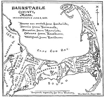
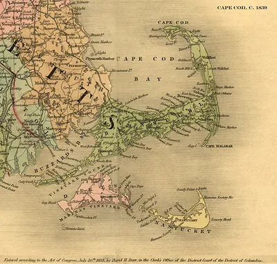
Cape Cod in 1755 was a sandy, lightly settled peninsula inside the Province of Massachusetts Bay, still a few years from the final defeat of France in North America. Its towns, including Barnstable, Yarmouth, Eastham, and Truro, depended on the sea. Families fished for cod and mackerel, made salt by evaporating seawater, and built small vessels for the coastal and West Indies trade, while the outer beaches claimed ships in storms. Seaside wrecks, scarce farmland, and the slow overland road to Plymouth shaped how residents saw their home, as an isolated place where the ocean provided both a living and constant danger.
| Created / published | 1755 |
|---|---|
| Notes | Bird's-eye view map. |
| Subjects | Panoramic maps--Massachusetts |
| Original scan | 6,416 × 6,700 px · prints to 21 × 22 in at 300 dpi |
| Reference | MA-Cape Cod Thos Jefferys 1755 |
More from the Panoramic Maps collection
Snapshots of the Past helps heritage brands, museums, historians and storytellers tell stories with history: historic prints, image licensing and historical storytelling drawn from more than 25 years of research and curation.