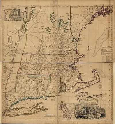
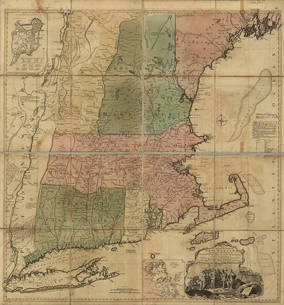
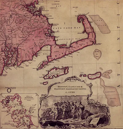
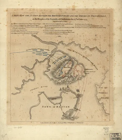
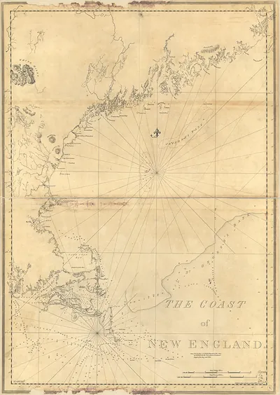
New England Thos Jefferys, 1755, Massachusetts – Antique Map Print

(Each image is professionally and digitally cleaned of artifacts such as color bars and extra borders prior to printing.)
Description
Few images capture their era like this antique map of New England Thos Jefferys, 1755, Massachusetts. Drawn from the Snapshots of the Past archive, it is an authentic piece of documented history.
Order it framed and ready to hang, or unframed to match a frame you already love. It brings character to any room and makes a memorable gift. Free shipping in the lower 48 states. Snapshots of the Past, founded in 2001, has served tens of thousands of customers worldwide.
New England Thos Jefferys, 1755, Massachusetts
Order a print
Thank you. Your order went through, and a receipt is on its way by email.
Secure checkout · SSL encryptedPowered by Stripe and PayPal
Free shipping in the lower 48 states. The checkout page shows the picture, size and price before you pay.
Massachusetts in 1755 was a royal province of British America, and Boston, its largest town, held roughly fifteen thousand people and served as the commercial center of New England. Harbor trade drove the economy, as merchants shipped fish, lumber, and rum to the West Indies and Britain, while coastal shipyards built vessels for those same routes. The colony was also drawn into the French and Indian War, which had begun in 1754, and provincial companies were raised to fight the French and their Native allies. Harvard College in Cambridge, more than a century old, trained many of the region's ministers and lawyers, and church life and town meetings shaped civic affairs in the countryside.
| Notes | Bird's-eye view map. |
|---|---|
| Subjects | Panoramic maps--Massachusetts |
| Original scan | 11,937 × 12,855 px · prints to 40 × 43 in at 300 dpi |
| Reference | New England Thos Jefferys, 1755 |
More from the Panoramic Maps collection
Snapshots of the Past helps heritage brands, museums, historians and storytellers tell stories with history: historic prints, image licensing and historical storytelling drawn from more than 25 years of research and curation.