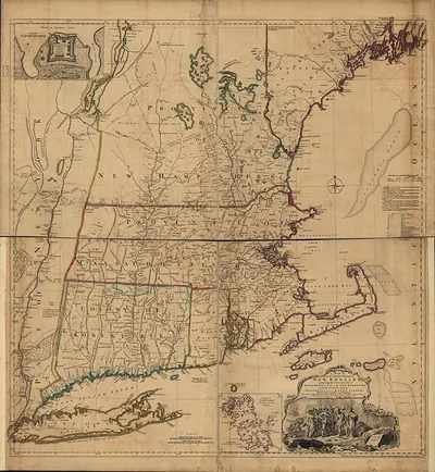
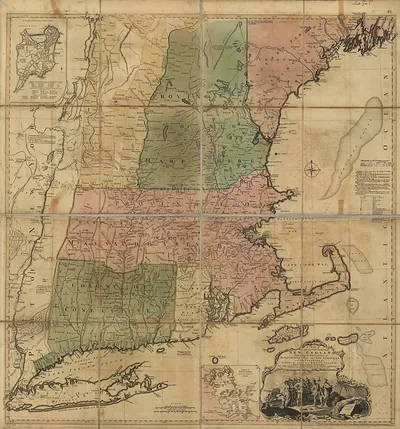
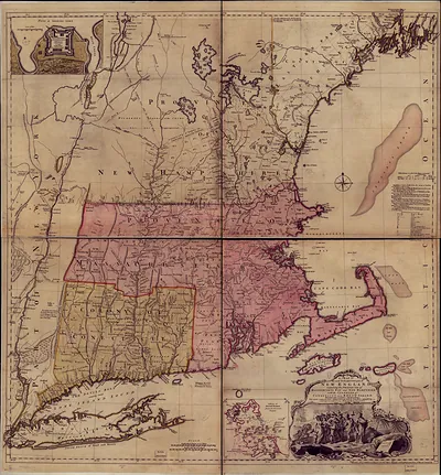
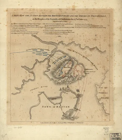
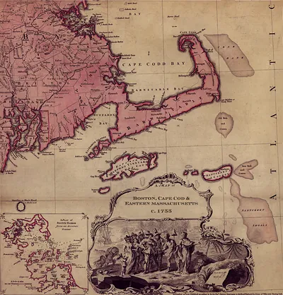
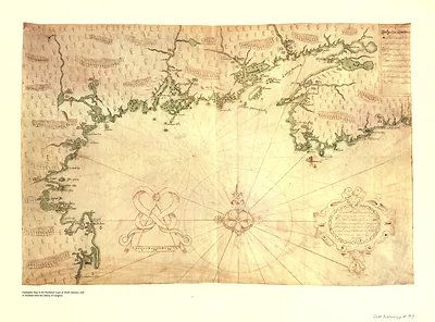
Northeast States Thos Jefferys, 1758, Massachusetts – Vintage Map Wall Art

(Each image is professionally and digitally cleaned of artifacts such as color bars and extra borders prior to printing.)
Description
Northeast States Thos Jefferys, 1758, Massachusetts comes to life in this antique map, reproduced from the original with every detail intact. Drawn from the Snapshots of the Past archive, it is an authentic piece of documented history.
Choose the framed print, ready to hang the day it arrives, or the unframed print for a frame of your own. A conversation-starting piece for home, office, or as a meaningful gift. Free shipping in the lower 48 states. Since 2001, Snapshots of the Past has shipped historic prints to tens of thousands of customers around the world.
Northeast States Thos Jefferys, 1758, Massachusetts
Order a print
Thank you. Your order went through, and a receipt is on its way by email.
Secure checkout · SSL encryptedPowered by Stripe and PayPal
Free shipping in the lower 48 states. The checkout page shows the picture, size and price before you pay.
In 1758, Massachusetts was deep in the French and Indian War, and provincial regiments were marching toward Lake Champlain and the approaches to Canada, including the failed assault on Fort Ticonderoga that summer. Boston, the colony's capital, was then the largest town in British North America, with roughly fifteen thousand people who lived by shipping, shipbuilding, and rum distilling for the Caribbean and West African trade. Fishing fleets worked the banks off Cape Cod, and salt works and small harbors from Barnstable to Falmouth tied the Cape's towns to that wider commerce. Royal governor Thomas Pownall had arrived the year before, and the General Court spent much of its time raising money and supplies for soldiers who were far from home.
| Notes | Bird's-eye view map. |
|---|---|
| Subjects | Panoramic maps--Massachusetts |
| Original scan | 8,026 × 5,866 px · prints to 27 × 20 in at 300 dpi |
| Reference | Northeast States Thos Jefferys, 1758 |
More from the Panoramic Maps collection
Snapshots of the Past helps heritage brands, museums, historians and storytellers tell stories with history: historic prints, image licensing and historical storytelling drawn from more than 25 years of research and curation.