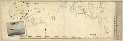
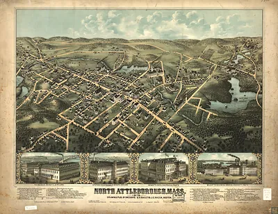
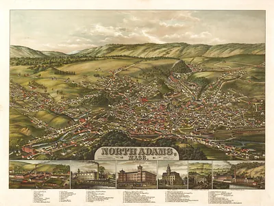
Map of the northeast coast of North America, 1607, drawn by Samuel de Champlain, Massachusetts – Antique Wall Map

(Each image is professionally and digitally cleaned of artifacts such as color bars and extra borders prior to printing.)
Description
A window into the past: Map of the northeast coast of North America, 1607, drawn by Samuel de Champlain, Massachusetts, preserved in this antique map. Drawn from the Snapshots of the Past archive, it is an authentic piece of documented history.
Framed, it is ready for the wall; unframed, it is ready for the frame you choose. Perfect for a home, office, library or classroom wall, and a gift with a story behind it. Free shipping in the lower 48 states. Snapshots of the Past has been bringing history to the wall since 2001, for tens of thousands of customers worldwide.
Map of the northeast coast of North America, 1607, drawn by Samuel de Champlain, Massachusetts
Order a print
Thank you. Your order went through, and a receipt is on its way by email.
Secure checkout · SSL encryptedPowered by Stripe and PayPal
Free shipping in the lower 48 states. The checkout page shows the picture, size and price before you pay.
In 1607 the Massachusetts coast had no permanent European settlement. Its shores and harbors were home to Wampanoag, Nauset, and neighboring Algonquian communities, who fished, farmed, and moved seasonally between coastal and inland sites. French explorers had reached the Cape Cod region only two years earlier, in 1605, when Samuel de Champlain sailed with Pierre du Gua de Monts and Pierre Dugua's associates, and their contacts there included a violent clash with Nauset people. Champlain's coastal charting served the French effort to build trade and settlements in Acadia and along the St. Lawrence, where the fur trade was the main economic prize. The English colony at Jamestown, in Virginia, was founded that same year, but no English town would take root in Massachusetts until Plymouth in 1620.
| Notes | Bird's-eye view map. |
|---|---|
| Subjects | Panoramic maps--Massachusetts |
| Original scan | 7,120 × 5,264 px · prints to 24 × 18 in at 300 dpi |
| Reference | MA Map of the northeast coast of North America, 1607, drawn by Samuel de Champlain |
More from the Panoramic Maps collection
Snapshots of the Past helps heritage brands, museums, historians and storytellers tell stories with history: historic prints, image licensing and historical storytelling drawn from more than 25 years of research and curation.