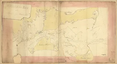
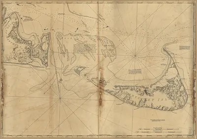
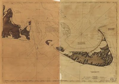
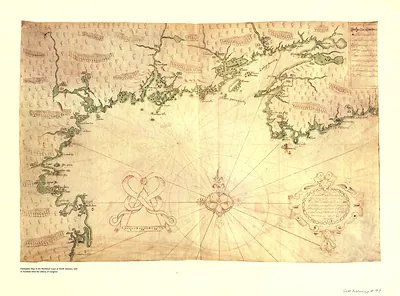
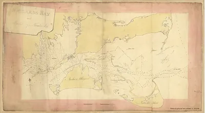
Part of Long Island; and the coast eastward to the shoals of Nantucket, Massachusetts, 1778 – Antique Map Print

(Each image is professionally and digitally cleaned of artifacts such as color bars and extra borders prior to printing.)
Description
Part of Long Island; and the coast eastward to the shoals of Nantucket, Massachusetts, 1778 comes to life in this antique map, reproduced from the original with every detail intact. Drawn from the Snapshots of the Past archive, it is an authentic piece of documented history.
Choose the framed print, ready to hang the day it arrives, or the unframed print for a frame of your own. A fine choice for anyone who loves history, and a gift that gets noticed. Free shipping in the lower 48 states. Since 2001, Snapshots of the Past has shipped historic prints to tens of thousands of customers around the world.
Part of Long Island; and the coast eastward to the shoals of Nantucket, Massachusetts, 1778
Order a print
Thank you. Your order went through, and a receipt is on its way by email.
Secure checkout · SSL encryptedPowered by Stripe and PayPal
Free shipping in the lower 48 states. The checkout page shows the picture, size and price before you pay.
Long Island, the Connecticut and Rhode Island shore, Buzzards Bay, Cape Cod, and the Nantucket shoals appear together in this 1778 chart, a year when the Revolutionary War had drawn much of this coast into British hands. The British held New York City and had occupied Newport since late 1776, so the sea lanes between them mattered to both sides. Nantucket, a sandy island southeast of Cape Cod, lived by whaling and coastal fishing, and its Quaker merchants and seamen had long sailed far beyond these waters. Shoals and tidal bars like those marked here were the chief dangers for the pilots and privateers who worked the coast, and an accurate survey of them was worth a great deal to anyone at sea.
| Created / published | 1778 |
|---|---|
| Notes | Bird's-eye view map. |
| Subjects | Panoramic maps--Massachusetts |
| Original scan | 8,678 × 2,914 px · prints to 29 × 10 in at 300 dpi |
| Reference | MA Part of Long Island; and the coast eastward to the shoals of Nantucket 1778 |
More from the Panoramic Maps collection
Snapshots of the Past helps heritage brands, museums, historians and storytellers tell stories with history: historic prints, image licensing and historical storytelling drawn from more than 25 years of research and curation.