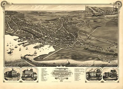
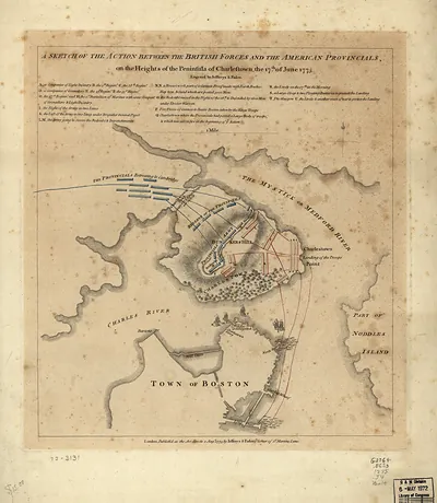
Buzzards Bay and shoals of Nantucket, Massachusetts, 1778 – Antique Map Print

(Each image is professionally and digitally cleaned of artifacts such as color bars and extra borders prior to printing.)
Description
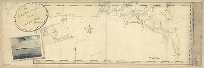
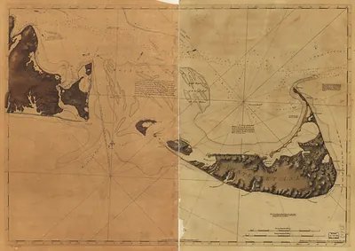
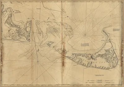
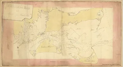
Step back in time with Buzzards Bay and shoals of Nantucket, Massachusetts, 1778, an antique map rich in period detail. It comes from the Snapshots of the Past collection, curated over 25 years for its historical value.
Framed, it is ready for the wall; unframed, it is ready for the frame you choose. A fine choice for anyone who loves history, and a gift that gets noticed. Free shipping in the lower 48 states. Since 2001, Snapshots of the Past has shipped historic prints to tens of thousands of customers around the world.
Buzzards Bay and shoals of Nantucket, Massachusetts, 1778
Order a print
Thank you. Your order went through, and a receipt is on its way by email.
Secure checkout · SSL encryptedPowered by Stripe and PayPal
Free shipping in the lower 48 states. The checkout page shows the picture, size and price before you pay.
Buzzards Bay and the shoals off Nantucket, Massachusetts, in 1778 lay at the heart of the Revolution at sea. The British held Newport, Rhode Island, and the Royal Navy used the sheltered waters of Buzzards Bay and the treacherous sandbars south of Nantucket to patrol the coast. Nantucket's whaling fleet, among the most valuable in New England before the war, faced the loss of ships and overseas markets as British warships hunted American vessels. Along the shores of Plymouth and Bristol counties, farmers and coastal traders lived with raids, militia duty, and the fear of landings. Charts like this one were practical tools, marking soundings and channels for officers and pilots who needed safe passage through shifting shoals.
| Created / published | 1778 |
|---|---|
| Notes | Bird's-eye view map. |
| Subjects | Panoramic maps--Massachusetts |
| Original scan | 12,178 × 6,686 px · prints to 41 × 22 in at 300 dpi |
| Reference | MA Buzzards Bay and shoals of Nantucket 1778 |
More from the Panoramic Maps collection
Snapshots of the Past helps heritage brands, museums, historians and storytellers tell stories with history: historic prints, image licensing and historical storytelling drawn from more than 25 years of research and curation.