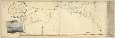
Cape and Islands, Massachusetts, 1778 – Historic Map Reproduction

(Each image is professionally and digitally cleaned of artifacts such as color bars and extra borders prior to printing.)
Description
Few images capture their era like this antique map of Cape and Islands, Massachusetts, 1778. It comes from the Snapshots of the Past collection, curated over 25 years for its historical value.
Framed, it is ready for the wall; unframed, it is ready for the frame you choose. It brings character to any room and makes a memorable gift. Free shipping in the lower 48 states. Since 2001, Snapshots of the Past has shipped historic prints to tens of thousands of customers around the world.
Cape and Islands, Massachusetts, 1778
Order a print
Thank you. Your order went through, and a receipt is on its way by email.
Secure checkout · SSL encryptedPowered by Stripe and PayPal
Free shipping in the lower 48 states. The checkout page shows the picture, size and price before you pay.
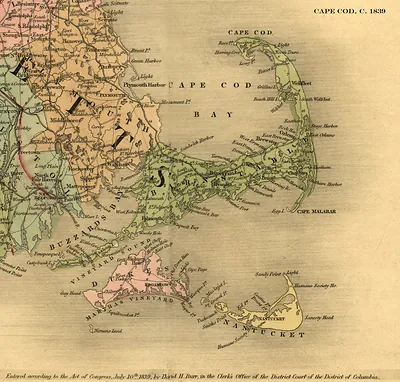
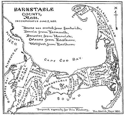
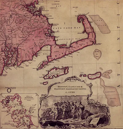
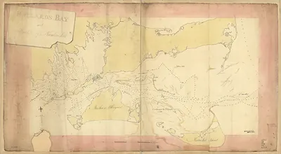
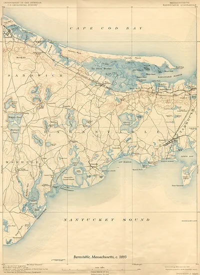
In 1778, the Cape and Islands of Massachusetts were living under the strain of the Revolutionary War. Royal Navy warships cruised the coast, cutting off the trade that had long supported Barnstable, Falmouth, and the other Cape Cod towns. Fishing, coastal shipping, and salt making were all disrupted, while Nantucket's whaling fleet, once the pride of the islands, struggled to put to sea. Residents of Martha's Vineyard and Nantucket, many of them Quakers or farmers, were caught between local loyalties and the demands of a distant war. The map shows a region whose livelihood depended on the sea at a time when the sea had become dangerous.
| Created / published | 1778 |
|---|---|
| Notes | Bird's-eye view map. |
| Subjects | Panoramic maps--Massachusetts |
| Original scan | 12,000 × 6,588 px · prints to 40 × 22 in at 300 dpi |
| Reference | MA Cape and Islands 1778 |
More from the Panoramic Maps collection
Snapshots of the Past helps heritage brands, museums, historians and storytellers tell stories with history: historic prints, image licensing and historical storytelling drawn from more than 25 years of research and curation.