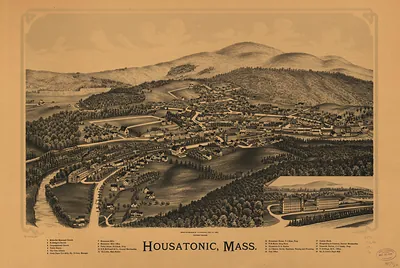
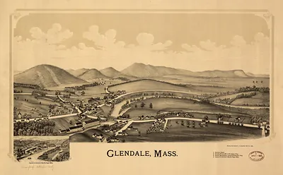
Cape Cod 1890, Simeon Deyo, Massachusetts – Historic Map Reproduction

(Each image is professionally and digitally cleaned of artifacts such as color bars and extra borders prior to printing.)
Description
A window into the past: Cape Cod 1890, Simeon Deyo, Massachusetts, preserved in this antique map. Drawn from the Snapshots of the Past archive, it is an authentic piece of documented history.
Choose the framed print, ready to hang the day it arrives, or the unframed print for a frame of your own. Perfect for a home, office, library or classroom wall, and a gift with a story behind it. Free shipping in the lower 48 states. Since 2001, Snapshots of the Past has shipped historic prints to tens of thousands of customers around the world.
Cape Cod 1890, Simeon Deyo, Massachusetts
Order a print
Thank you. Your order went through, and a receipt is on its way by email.
Secure checkout · SSL encryptedPowered by Stripe and PayPal
Free shipping in the lower 48 states. The checkout page shows the picture, size and price before you pay.
In 1890, Cape Cod was a long sandy peninsula whose towns still lived mostly by the sea and the land. Fishing fleets worked out of Provincetown and the harbor towns on the bay side, and cod and mackerel were the main catch, while cranberry bogs in the low ground between the dunes were a growing source of income. The Old Colony Railroad's Cape branch had carried passengers and freight to Hyannis and beyond since the 1850s and 1870s, and summer visitors were beginning to arrive by train to stay in boarding houses and seaside hotels. Many residents still remembered the whaling and coastal shipping that had made Cape ports prosperous earlier in the century, and the peninsula's villages were close-knit communities shaped by the tides, the weather, and the shipping lanes around the Cape's outer shoals.
| Notes | Bird's-eye view map. |
|---|---|
| Subjects | Panoramic maps--Massachusetts |
| Original scan | 3,013 × 2,799 px · prints to 10 × 9 in at 300 dpi |
| Reference | MA-Cape Cod 1890, Simeon Deyo |
More from the Panoramic Maps collection
Snapshots of the Past helps heritage brands, museums, historians and storytellers tell stories with history: historic prints, image licensing and historical storytelling drawn from more than 25 years of research and curation.