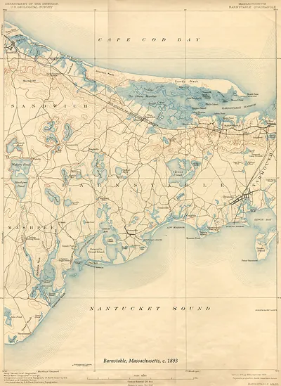
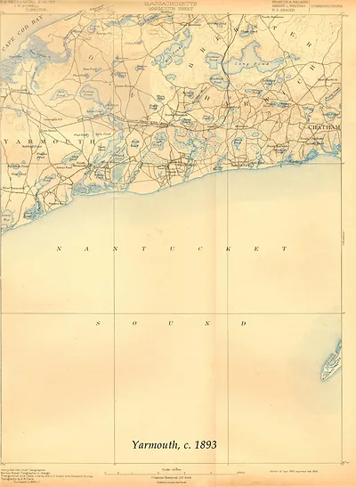
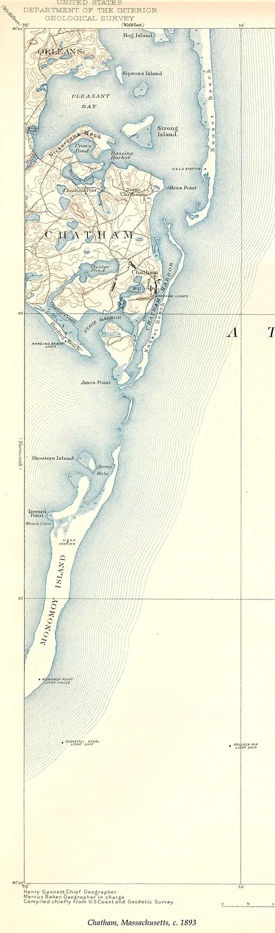
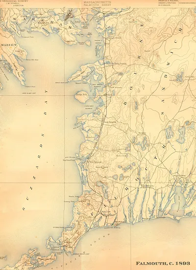
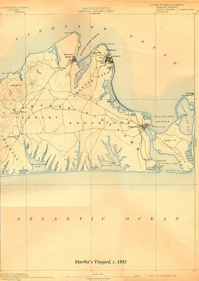
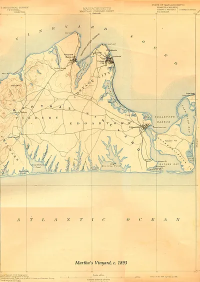
Barbstable USGS, Massachusetts, 1893 – Vintage Map Wall Art

(Each image is professionally and digitally cleaned of artifacts such as color bars and extra borders prior to printing.)
Description
This antique map of Barbstable USGS, Massachusetts, 1893 brings a moment of history to your wall. Drawn from the Snapshots of the Past archive, it is an authentic piece of documented history.
Order it framed and ready to hang, or unframed to match a frame you already love. A conversation-starting piece for home, office, or as a meaningful gift. Free shipping in the lower 48 states. Snapshots of the Past has been bringing history to the wall since 2001, for tens of thousands of customers worldwide.
Barbstable USGS, Massachusetts, 1893
Order a print
Thank you. Your order went through, and a receipt is on its way by email.
Secure checkout · SSL encryptedPowered by Stripe and PayPal
Free shipping in the lower 48 states. The checkout page shows the picture, size and price before you pay.
Barnstable, the shire town of Barnstable County on Cape Cod, was a village of white-painted houses, churches, and county offices in 1893, when this bird's-eye view was drawn. Its livelihood still rested on the sea, through fishing, coastal schooner trade, and the shipbuilding and captaining that had long made Cape towns known along the Atlantic coast. The railroad had reached the Cape decades earlier, and by the 1890s summer visitors were beginning to arrive in greater numbers, bringing boarding houses and a new kind of business to the shore. Residents in the village would have known the place as a quiet seat of county government set between the harbor and the salt meadows, where old captains' families and newer merchants shared the same streets.
| Created / published | 1893 |
|---|---|
| Notes | Bird's-eye view map. |
| Subjects | Panoramic maps--Massachusetts |
| Original scan | 6,600 × 9,063 px · prints to 22 × 30 in at 300 dpi |
| Reference | MA-Barbstable USGS 1893 |
More from the Panoramic Maps collection
Snapshots of the Past helps heritage brands, museums, historians and storytellers tell stories with history: historic prints, image licensing and historical storytelling drawn from more than 25 years of research and curation.