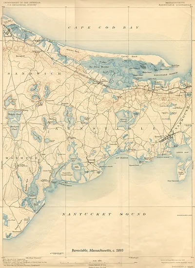
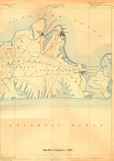
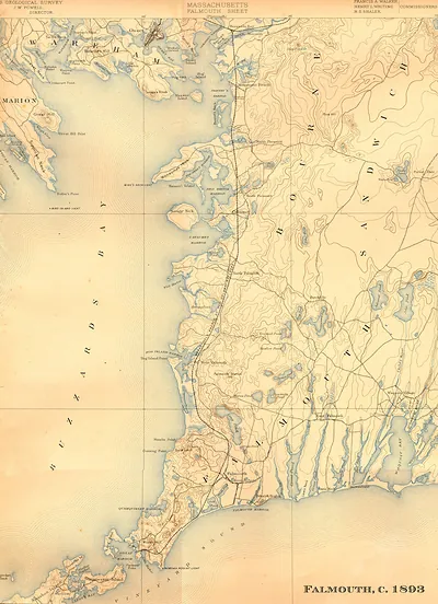
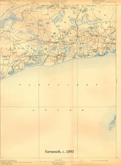
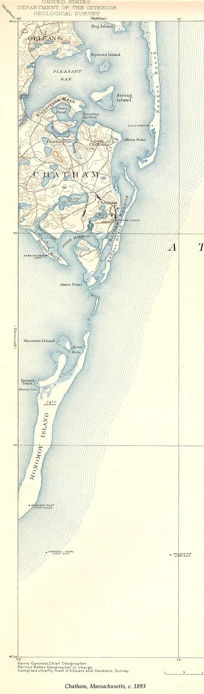
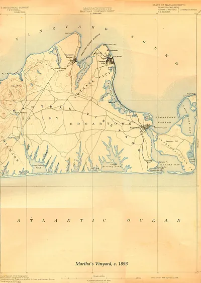
Barbstable USGS 1893-GC, Massachusetts – Historic Map Reproduction

(Each image is professionally and digitally cleaned of artifacts such as color bars and extra borders prior to printing.)
Description
A window into the past: Barbstable USGS 1893-GC, Massachusetts, preserved in this antique map. Drawn from the Snapshots of the Past archive, it is an authentic piece of documented history.
Choose the framed print, ready to hang the day it arrives, or the unframed print for a frame of your own. A fine choice for anyone who loves history, and a gift that gets noticed. Free shipping in the lower 48 states. Since 2001, Snapshots of the Past has shipped historic prints to tens of thousands of customers around the world.
Barbstable USGS 1893-GC, Massachusetts
Order a print
Thank you. Your order went through, and a receipt is on its way by email.
Secure checkout · SSL encryptedPowered by Stripe and PayPal
Free shipping in the lower 48 states. The checkout page shows the picture, size and price before you pay.
Barnstable, Massachusetts, in 1893 was one of the oldest towns on Cape Cod, settled in the 1630s and long the seat of Barnstable County. Its economy still rested on the sea and the land: fishing and coastal trade, salt-making and cranberry growing, and the farms and woodlots of the outlying villages. Summer visitors were beginning to arrive by rail and steamboat, and the Cape's reputation as a resort was growing. Residents of the town would have known it as a quiet, historic shire community, with its courthouse and village green at the center of civic life and its harbor and villages to the south reaching toward the shore.
| Notes | Bird's-eye view map. |
|---|---|
| Subjects | Panoramic maps--Massachusetts |
| Original scan | 3,150 × 4,326 px · prints to 10 × 14 in at 300 dpi |
| Reference | Barbstable USGS 1893-GC |
More from the Panoramic Maps collection
Snapshots of the Past helps heritage brands, museums, historians and storytellers tell stories with history: historic prints, image licensing and historical storytelling drawn from more than 25 years of research and curation.