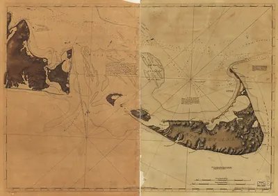
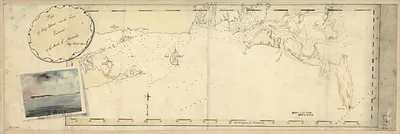
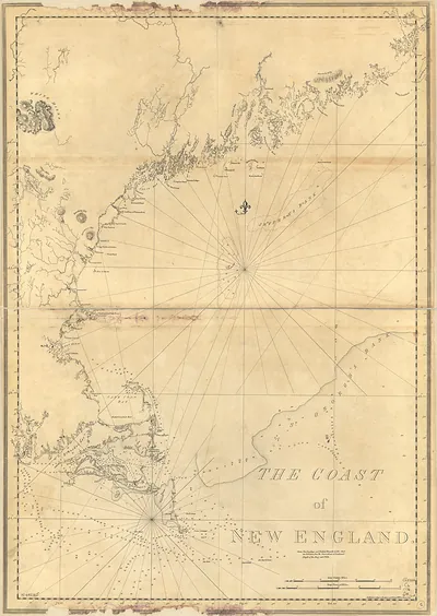
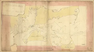
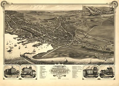
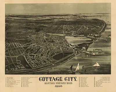
Chart of Nantucket Island and the eastern half of Martha's Vineyard, Massachusetts, 1776 – Antique Wall Map

(Each image is professionally and digitally cleaned of artifacts such as color bars and extra borders prior to printing.)
Description
Few images capture their era like this antique map of Chart of Nantucket Island and the eastern half of Martha's Vineyard, Massachusetts, 1776. Drawn from the Snapshots of the Past archive, it is an authentic piece of documented history.
The framed print arrives ready to hang; the unframed option suits custom framing. It brings character to any room and makes a memorable gift. Free shipping in the lower 48 states. Since 2001, Snapshots of the Past has shipped historic prints to tens of thousands of customers around the world.
Chart of Nantucket Island and the eastern half of Martha's Vineyard, Massachusetts, 1776
Order a print
Thank you. Your order went through, and a receipt is on its way by email.
Secure checkout · SSL encryptedPowered by Stripe and PayPal
Free shipping in the lower 48 states. The checkout page shows the picture, size and price before you pay.
In 1776, Nantucket and the eastern half of Martha's Vineyard sat at the edge of a colony at war, the same summer Congress declared independence in Philadelphia. English families had settled Nantucket since 1659, and the town then called Sherburne served as the island's center of local government. Many islanders were Quakers who refused to take up arms, a stance that set them apart from mainland neighbors and kept the island's neutrality a constant question. Charting these waters was practical work, because vessels moving between Boston, New York and the West Indies needed a reliable way through the sandbars that ringed both islands.
| Created / published | 1776 |
|---|---|
| Notes | Bird's-eye view map. |
| Subjects | Panoramic maps--Massachusetts |
| Original scan | 12,738 × 8,947 px · prints to 42 × 30 in at 300 dpi |
| Reference | MA Chart of Nantucket Island and the eastern half of Martha's Vineyard 1776a |
More from the Panoramic Maps collection
Snapshots of the Past helps heritage brands, museums, historians and storytellers tell stories with history: historic prints, image licensing and historical storytelling drawn from more than 25 years of research and curation.