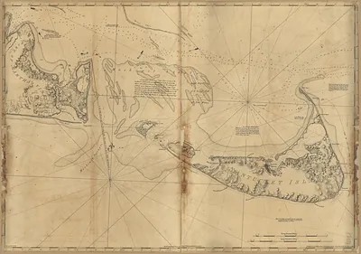
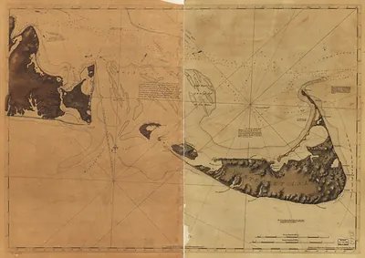
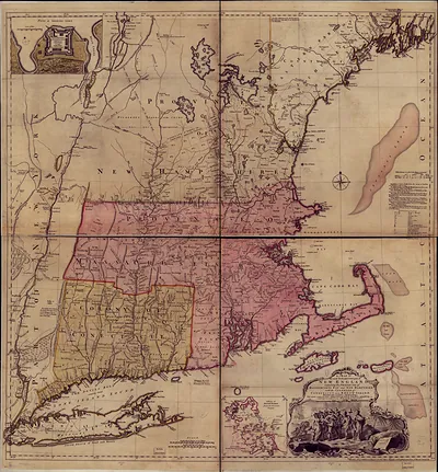
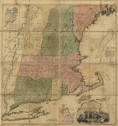
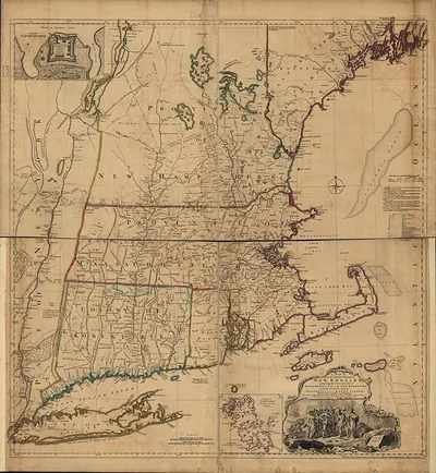
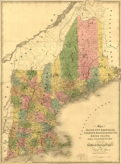
Cost of New England J. F. W. Des Barres, 1776., Massachusetts – Historic Map Reproduction

(Each image is professionally and digitally cleaned of artifacts such as color bars and extra borders prior to printing.)
Description
Step back in time with Cost of New England J. F. W. Des Barres, 1776., Massachusetts, an antique map rich in period detail. It is part of the Snapshots of the Past archive, gathered over 25 years of research.
Choose the framed print, ready to hang the day it arrives, or the unframed print for a frame of your own. A conversation-starting piece for home, office, or as a meaningful gift. Free shipping in the lower 48 states. Snapshots of the Past, founded in 2001, has served tens of thousands of customers worldwide.
Cost of New England J. F. W. Des Barres, 1776., Massachusetts
Order a print
Thank you. Your order went through, and a receipt is on its way by email.
Secure checkout · SSL encryptedPowered by Stripe and PayPal
Free shipping in the lower 48 states. The checkout page shows the picture, size and price before you pay.
In 1776 Cape Cod and the Massachusetts shore were in the middle of the Revolutionary War, and the sea shaped nearly every local livelihood. Fishermen, coasting schooners, and salt makers worked the harbors, and salt boiled from seawater became valuable once wartime trade was disrupted. In March 1776 the British army had just evacuated Boston by sea, and Royal Navy surveyors, including Joseph Frederick Wallet Des Barres, were charting this coast and its harbors for naval use. Towns such as Barnstable, Falmouth, and Provincetown were small communities of farmers, mariners, and craftsmen, and their people had to watch British warships patrol the waters they depended on.
| Notes | Bird's-eye view map. |
|---|---|
| Subjects | Panoramic maps--Massachusetts |
| Original scan | 9,011 × 12,718 px · prints to 30 × 42 in at 300 dpi |
| Reference | MA Cost of New England J. F. W. Des Barres, 1776. |
More from the Panoramic Maps collection
Snapshots of the Past helps heritage brands, museums, historians and storytellers tell stories with history: historic prints, image licensing and historical storytelling drawn from more than 25 years of research and curation.