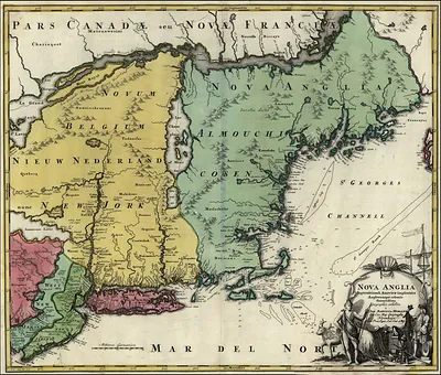
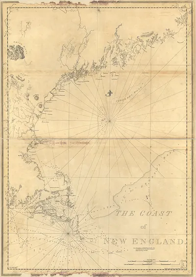
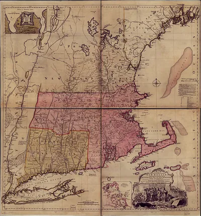
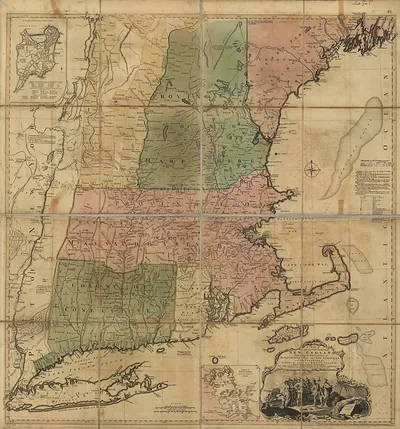
New England 1839, Massachusetts – Historic Map Reproduction

(Each image is professionally and digitally cleaned of artifacts such as color bars and extra borders prior to printing.)
Description
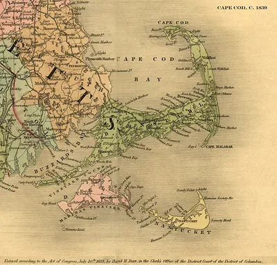
Step back in time with New England 1839, Massachusetts, an antique map rich in period detail. Drawn from the Snapshots of the Past archive, it is an authentic piece of documented history.
Choose the framed print, ready to hang the day it arrives, or the unframed print for a frame of your own. A fine choice for anyone who loves history, and a gift that gets noticed. Free shipping in the lower 48 states. Snapshots of the Past, founded in 2001, has served tens of thousands of customers worldwide.
New England 1839, Massachusetts
Order a print
Thank you. Your order went through, and a receipt is on its way by email.
Secure checkout · SSL encryptedPowered by Stripe and PayPal
Free shipping in the lower 48 states. The checkout page shows the picture, size and price before you pay.
In 1839, Massachusetts was shifting from sea trade toward manufacturing and rail. Water-powered textile mills along the Merrimack at Lowell drew many young women from farm families across New England to their looms, and the Boston and Worcester line, finished in 1840, was carrying freight and passengers inland. New Bedford remained one of the country's leading whaling ports, sending ships to distant oceans, while cranberry growers on Cape Cod had begun cultivating bogs in the sandy hollows of the lower towns. The Panic of 1837 had left merchants and mill owners cautious about credit.
| Notes | Bird's-eye view map. |
|---|---|
| Subjects | Panoramic maps--Massachusetts |
| Original scan | 10,910 × 14,741 px · prints to 36 × 49 in at 300 dpi |
| Reference | New England 1839 |
More from the Panoramic Maps collection
Snapshots of the Past helps heritage brands, museums, historians and storytellers tell stories with history: historic prints, image licensing and historical storytelling drawn from more than 25 years of research and curation.