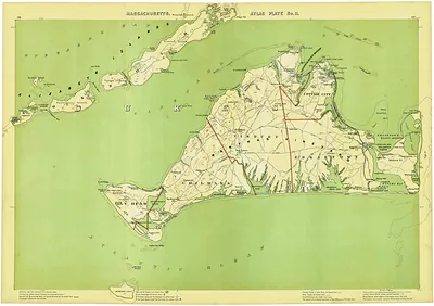
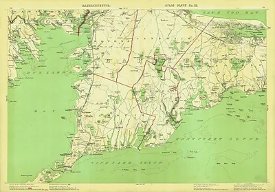
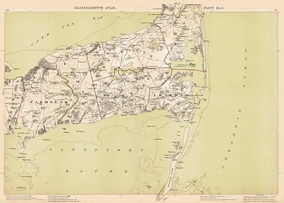
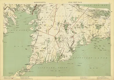
Massachusetts Atlas Plate No. 19: Nantucket Island map – Vintage Map Wall Art

(Each image is professionally and digitally cleaned of artifacts such as color bars and extra borders prior to printing.)
Description
A window into the past: Massachusetts Atlas Plate No. 19: Nantucket Island map, preserved in this antique map. It comes from the Snapshots of the Past collection, curated over 25 years for its historical value.
Order it framed and ready to hang, or unframed to match a frame you already love. It makes a striking addition to a living room, study or office, and a thoughtful gift. Free shipping in the lower 48 states. Snapshots of the Past has been bringing history to the wall since 2001, for tens of thousands of customers worldwide.
Massachusetts Atlas Plate No. 19: Nantucket Island map
Order a print
Thank you. Your order went through, and a receipt is on its way by email.
Secure checkout · SSL encryptedPowered by Stripe and PayPal
Free shipping in the lower 48 states. The checkout page shows the picture, size and price before you pay.
Nantucket is an island rather than part of the Cape itself, lying about 30 miles south across Nantucket Sound, so this plate shows the whole island at once, with its villages, roads and harbor laid out in detail. In the nineteenth century Nantucket was one of the busiest whaling ports in the country, and that trade shaped the town and the farms the map records. Plates like this one came from county atlases meant to document property owners and town layouts, so they also serve as a snapshot of land ownership of the period.
| Original scan | 11,023 × 7,780 px · prints to 37 × 26 in at 300 dpi |
|---|---|
| Reference | Plate 10 1891 Nan |
More from the Cape Cod National Seashore collection
Snapshots of the Past helps heritage brands, museums, historians and storytellers tell stories with history: historic prints, image licensing and historical storytelling drawn from more than 25 years of research and curation.