Cape Cod National Seashore
106 historic pictures in the Cape Cod National Seashore collection, in 4 sections, part of Landmarks. Each one can be ordered as a print or licensed, and the collection is a starting point for telling stories about the past.
Open the interactive boardThe Pilgrims came ashore on Cape Cod before they ever saw Plymouth. In November 1620, the Mayflower anchored in what is now Provincetown Harbor, and the passengers signed the Mayflower Compact on board. They spent about 5 weeks exploring the outer Cape before moving across the bay to settle at Plymouth.
That is why so many Pilgrim images belong on a Cape Cod board. Most of them are prints and paintings made long after the fact, in the 1800s, when the Pilgrims became a national founding story. They show neat clothing, calm faces and a dramatic landing. The real crossing was cold, crowded and frightening, and about half the passengers died that first winter. Provincetown later built the Pilgrim Monument to mark the landing. Theodore Roosevelt laid the cornerstone in 1907, and the granite tower was finished in 1910. It stands over the town and turns up in nearly every view of the harbor.
The rest of the board covers Barnstable County, which is to say the Cape itself, from the canal out to Provincetown. Fishing villages, saltworks, windmills, lighthouses and long beaches fill the older pictures. The Cape was a working place of fishermen, sailors and farmers long before it was a summer place. The railroad and later the automobile brought the tourists.
The Cape Cod National Seashore was set up in 1961 to protect about 40 miles of the outer Cape, including dunes, marshes, beaches and old buildings. President John F. Kennedy, whose family had a home in Hyannis Port, signed the law. Nantucket, out across Nantucket Sound, has its own section. It was the whaling capital of the world for a time in the late 1700s and early 1800s, before New Bedford took the lead.
When you look at the shoreline pictures, notice how much the Cape moves. Sand cliffs on the outer beach wear away a few feet in many years, and lighthouses have had to be moved back from the edge. A picture from 1900 and a picture from 1940 of the same spot can show a different coast.
Cape Cod National Seashore
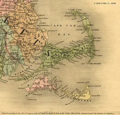 Cape Cod, C. 1839 map by David H. Burr
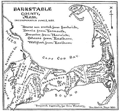 Barnstable County, Mass. historical map of Cape Cod
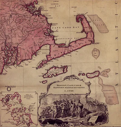 A Map of Boston, Cape Cod & Eastern Massachusetts, c.1755
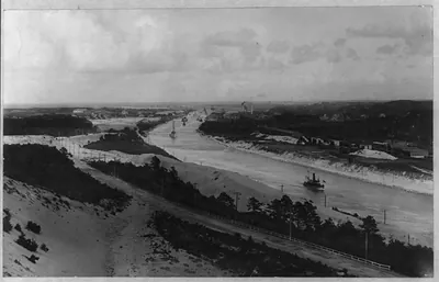 Eastern end, Cape Cod canal. ([no date recorded on)
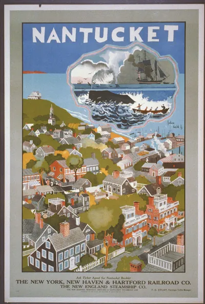 Nantucket: The New York, New Haven & Hartford Railroad Co. / John Held Jr. (New York : Andrew H.)
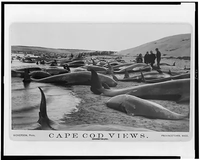 Chase and capture of blackfish / Nickerson, photo. (1885)
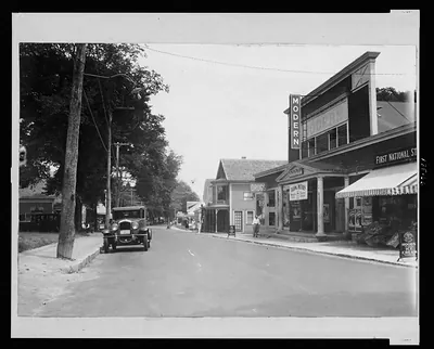 Main St., Harwichport, Cape Cod, Mass.
 Nantucket. The New Haven Railroad / Nason. ([S.l. : s.n., ca. 19)
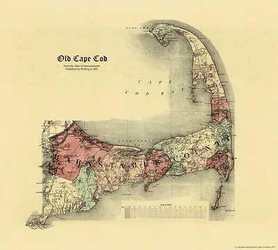 Old Cape Cod map, Atlas of Massachusetts 1871
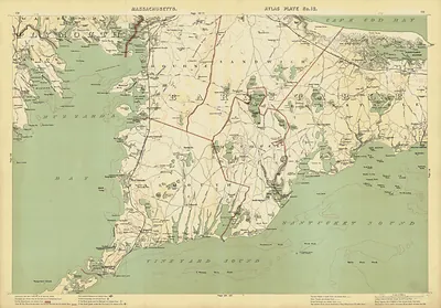 Historic atlas map of Cape Cod and Barnstable, Massachusetts
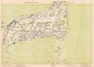 Map of Cape Cod, Massachusetts Atlas Plate No. 8
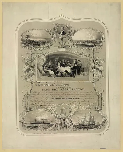 Cape Cod Association membership certificate with engravings
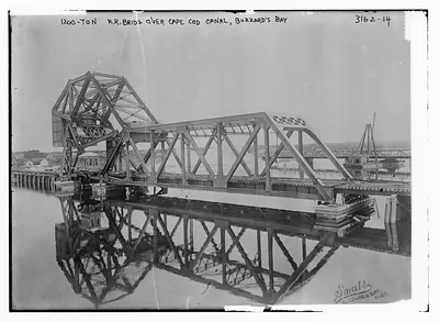 1200 Ton R.R. Bridge over Cape Cod Canal, Buzzard's Bay (n/a)
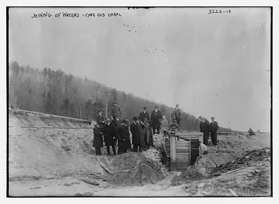 Joining of waters -- Cape Cod Canal (n/a)
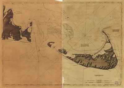 Historic chart of Nantucket Island and Martha's Vineyard
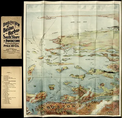 Bird's Eye View of Boston Harbor and South Shore to Provincetown
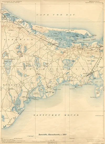 Barnstable, Massachusetts, USGS topographic map, 1893 (1893)
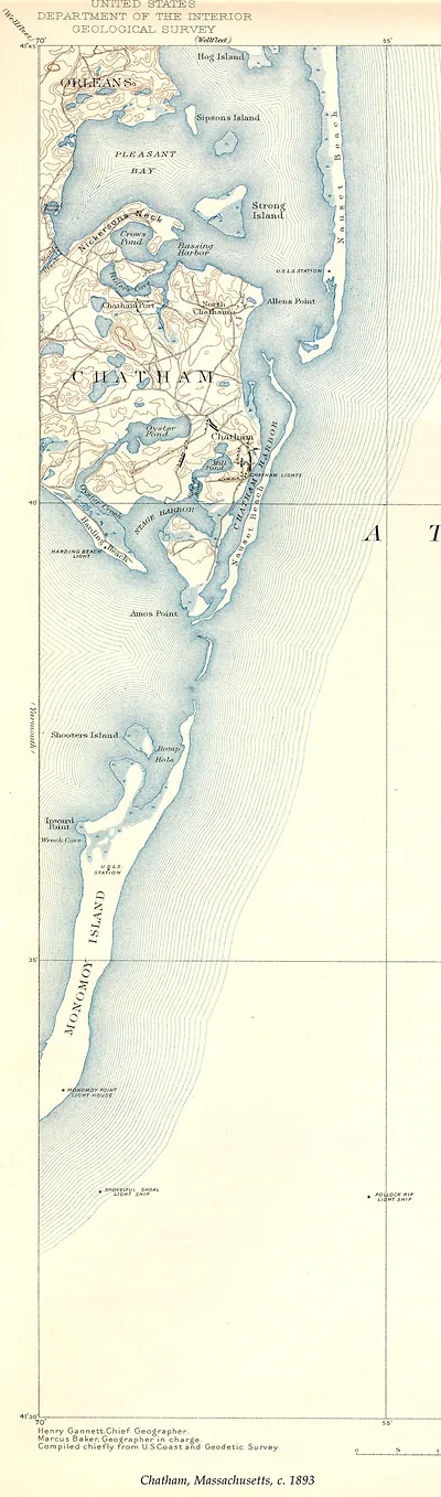 Chatham, Massachusetts, USGS Geological Survey map, c. 1893 (1893)
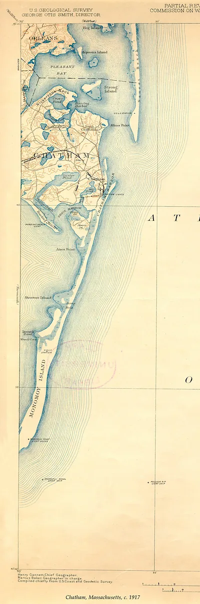 Chatham, Massachusetts USGS map, c. 1917 (1917)
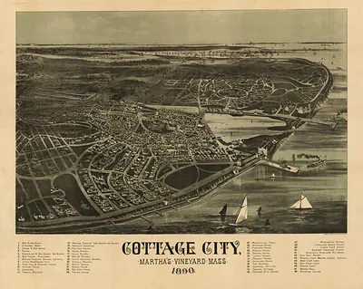 Cottage City, Martha's Vineyard, Mass. 1890 bird's-eye view (1890)
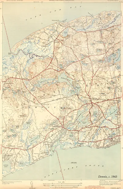 Dennis, Mass. USGS topographic map, c. 1943 (1943)
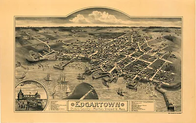 MA Edgartown 1886 (1886)
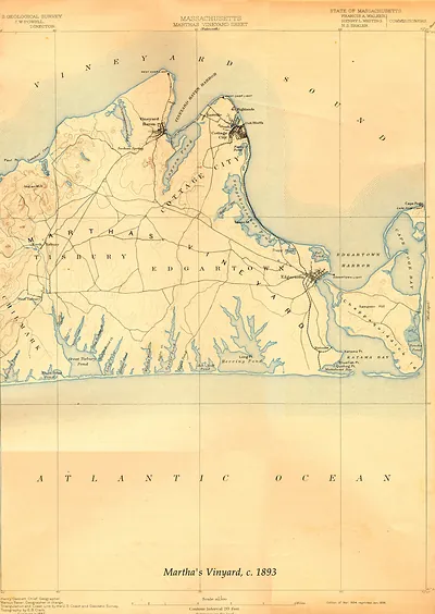 Massachusetts Martha's Vineyard Sheet, USGS topographic map, 1893 (1893)
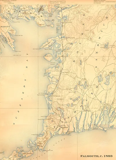 Falmouth Sheet, Massachusetts, U.S. Geological Survey topographic map, 1893 (1893)
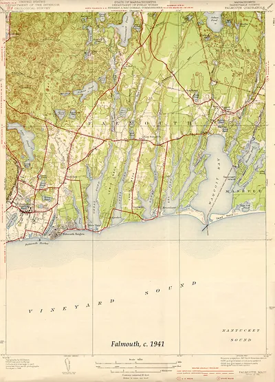 Falmouth Quadrangle topographic map, Massachusetts, c. 1941 (1941)
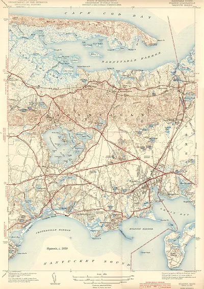 Hyannis Quadrangle topographic map, Barnstable County, Massachusetts (1939)
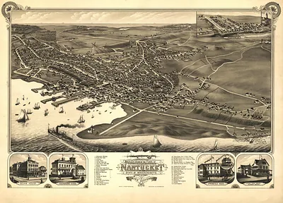 MA Nantucket 1881 (1881)
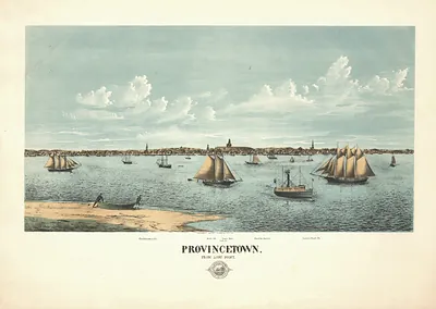 Provincetown from Long Point
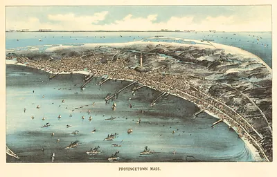 MA Provincetown 1910 (1910)
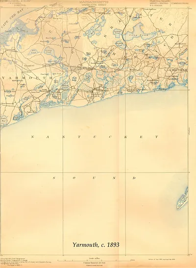 Yarmouth Sheet, Massachusetts, USGS topographic map, 1893 (1893)
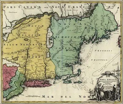 New England 1700 s
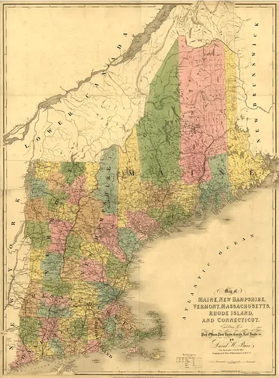 Map of Maine, New Hampshire, Vermont, Massachusetts, Rhode Island, and Connecticut (1839)
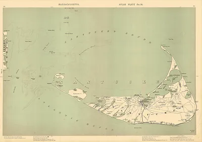 Massachusetts Atlas Plate No. 19: Nantucket Island map
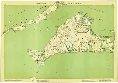 Massachusetts Atlas Plate No. 11: Martha's Vineyard map
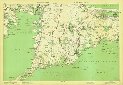 Atlas Plate No. 12: Map of Upper Cape Cod, Massachusetts
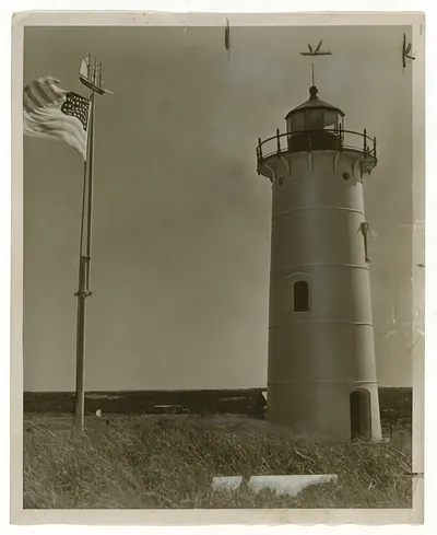 Lighthouse with American flag and weathervane, sepia photograph
Pilgrim Images
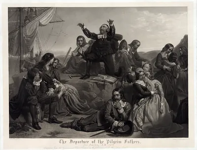 The Departure of the Pilgrim Fathers for America, 1620
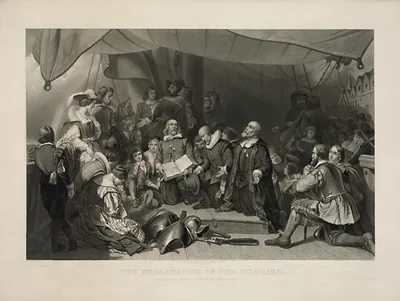 The Embarkation of the Pilgrims, engraved print
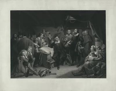 Pilgrims gathered in a cabin around a document, engraved
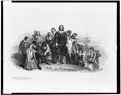 [Bank note illustration showing the landing of the Pilgrims at Plymouth] (New York : Toppan, C)
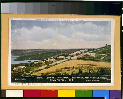 Plymouth in 1622 / W.L. Williams. (Plymouth, Mass. : A.)
 The Mayflower Compact 1620 / J.L.G. Ferris. (c1932 July 28.)
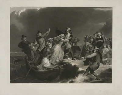 Engraving of colonists in a boat under a stormy sky
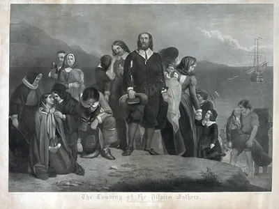 The Landing of the Pilgrim Fathers in America, A.D. 1620
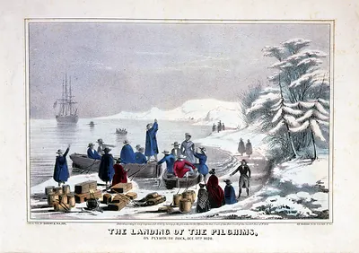 The Landing of the Pilgrims on Plymouth Rock, Dec. 11th 1620
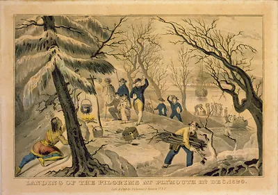 Landing of the Pilgrims at Plymouth Rock, Dec. 1620
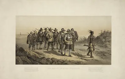 The March of Miles Standish
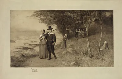 Etching of Pilgrim-costumed figures on a coastal path
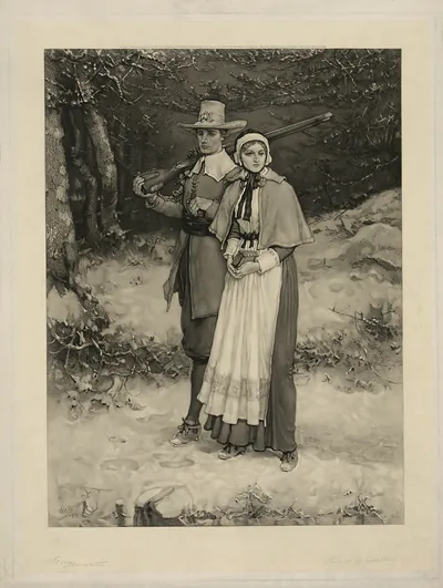 Pilgrim man with musket and woman in snowy woods
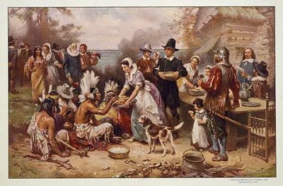 Pilgrims and Native Americans sharing a harvest meal, painted scene
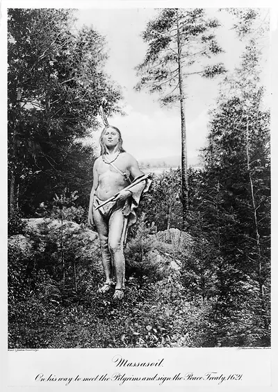 Massasoit, on his way to meet the Pilgrims and sign the Peace Treaty, 1621
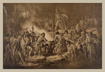 Sepia print of Native American figures around a fire
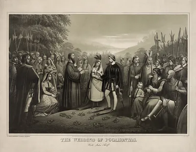 The Wedding of Pocahontas with John Rolfe
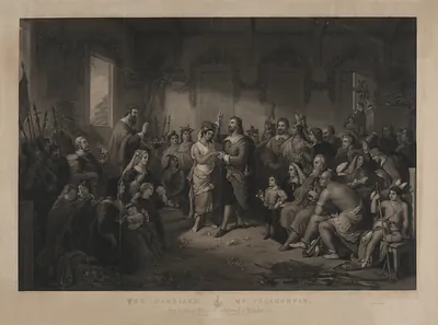 The Marriage of Pocahontas, engraving after a painting
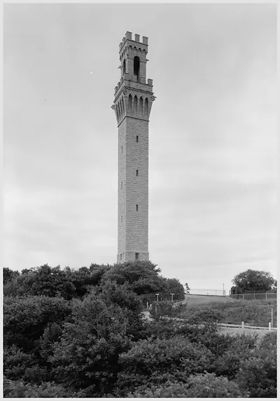 Stone tower rising above trees, black and white photograph
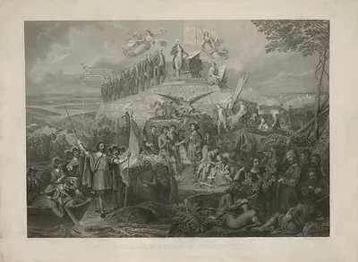 Engraved historical monument with Washington and early settlers
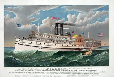 The Grand New Steamboat Pilgrim, the Largest in the World
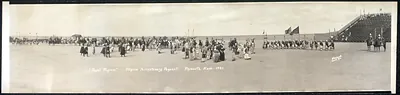 Royal Pageant, Pilgrim Tercentenary Pageant, Plymouth, Mass., 1921
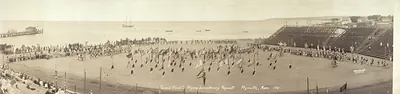 Cape Cod National Seashore · Pilgrim Images
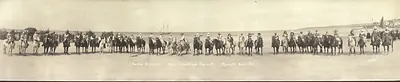 Panoramic photograph of mounted riders on a beach, Plymouth
 Panoramic view of a town with a hillside cemetery and church
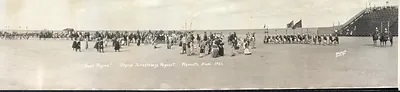 Royal Pageant, Pilgrim Tercentenary Pageant, Plymouth, Mass. 1921
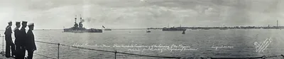 Warships at Provincetown, Mass., Pilgrim tercentenary, August 1920
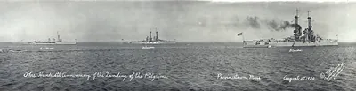 Three Hundredth Anniversary of the Landing of the Pilgrims, Provincetown, Mass
Barnstable County
 WPA Federal Art Project Paintings exhibition poster, Barnstable High School
 Massachusetts Duxbury Sheet map of Massachusetts Bay
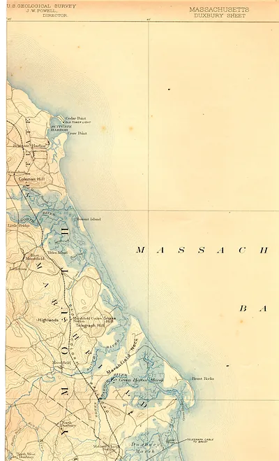 U.S. Geological Survey Duxbury Sheet map, Massachusetts coast
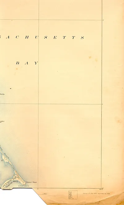 Massachusetts Bay chart with Plymouth, Saquish Neck and Gurnet Point
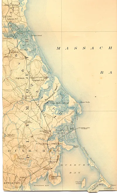 Duxbury Bay and Marshfield topographic map, Massachusetts Bay
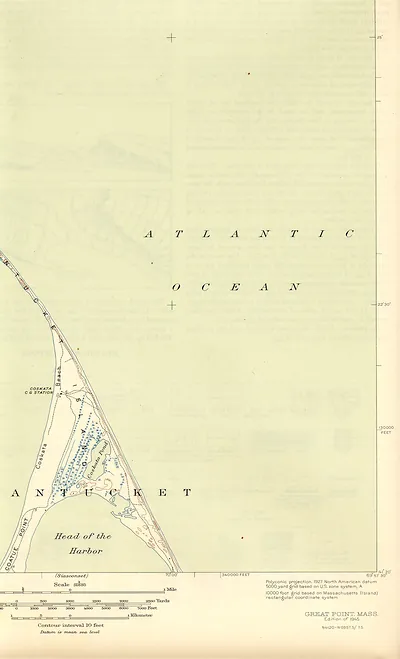 Great Point, Mass. topographic map, 1945 edition
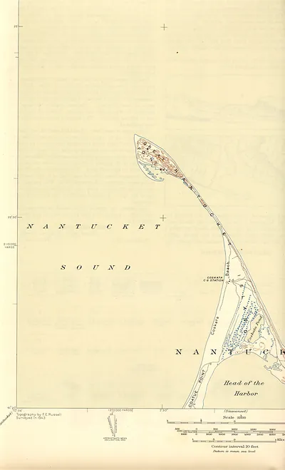 Topographic map of Nantucket, Coskata and Coatue Point
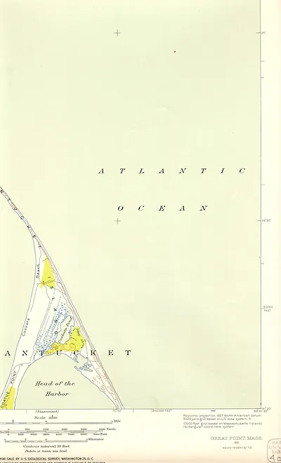 Great Point, Mass. topographic map, 1951, Nantucket Sound area
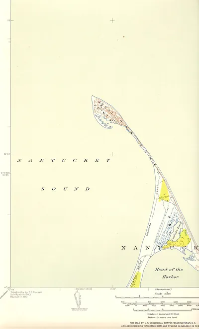 Topographic map of Great Point and Nantucket Sound
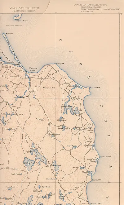 Massachusetts Plymouth Sheet, Cape Cod topographic map
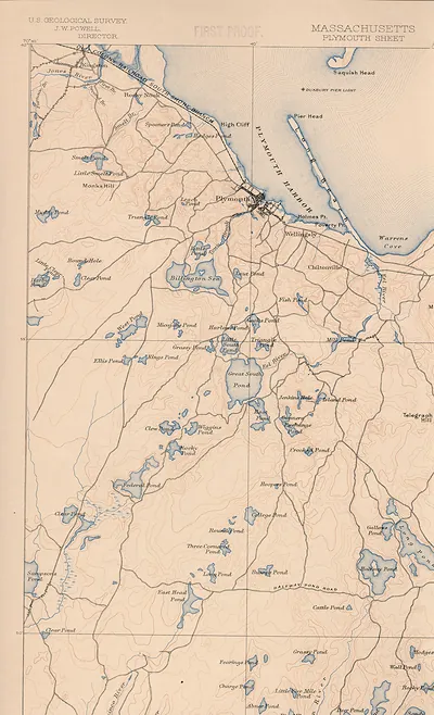 Massachusetts Plymouth Sheet topographic map, U.S. Geological Survey
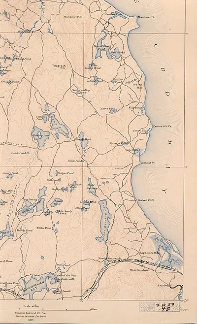 Topographic map of Sandwich and Cape Cod Bay, 1889
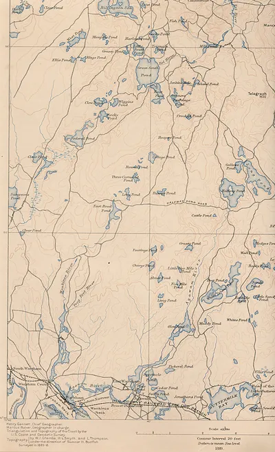 Topographic map of Wareham and Plymouth County ponds
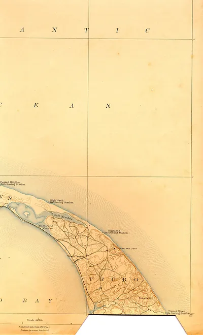 Topographic map of Truro and Cape Cod coast
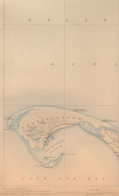 Provincetown and Cape Cod Bay topographic map
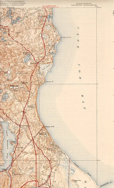 Sagamore Quadrangle topographic map, Massachusetts
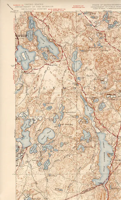 USGS topographic map of Plymouth, Massachusetts area
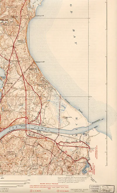 saga40se
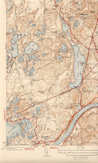 saga40sw
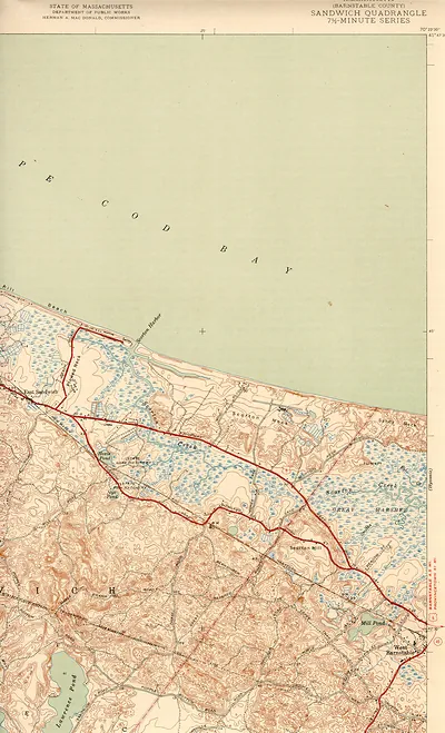 Sandwich Quadrangle topographic map, Barnstable County, Massachusetts
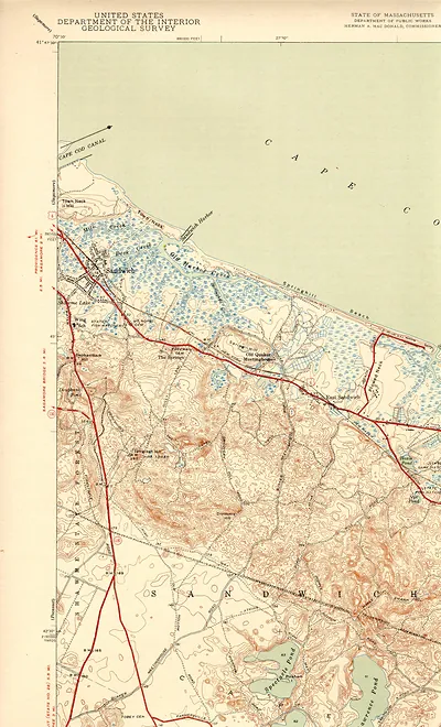 USGS topographic map of Sandwich, Massachusetts
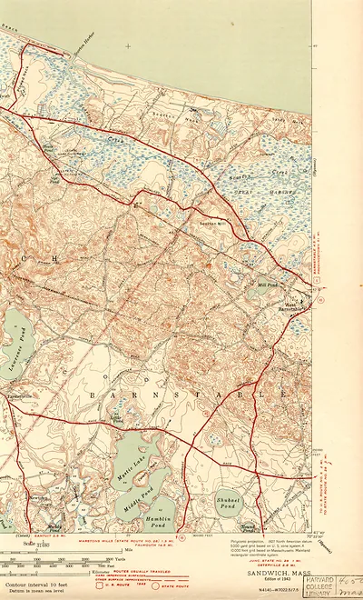 Sandwich, Mass. topographic map, edition of 1943
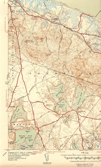 Topographic map of Sandwich and Mashpee, Massachusetts
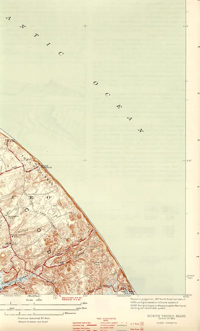 North Truro, Mass. topographic map, 1944 edition
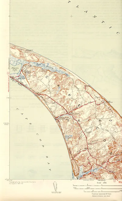 Topographic map of Truro and Cape Cod coastline
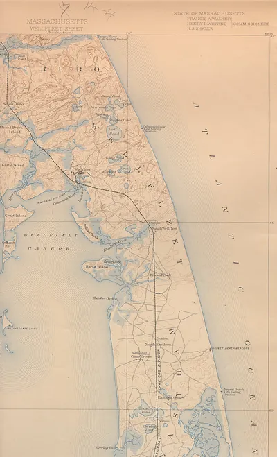 Wellfleet sheet topographic map of Massachusetts Cape Cod
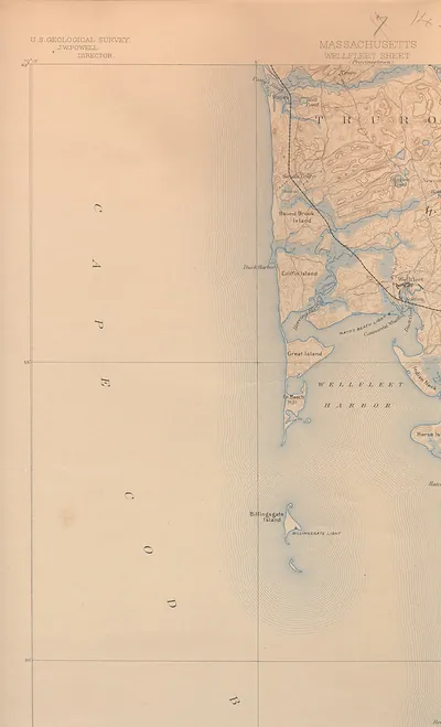 USGS Wellfleet Sheet map of Cape Cod, Massachusetts
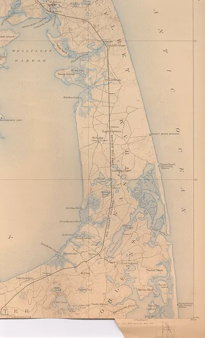 Map of the Cape Cod coast from Wellfleet to Orleans
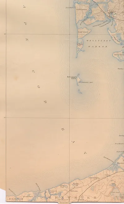 Wellfleet Harbor and Cape Cod Bay topographic map
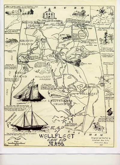 Wellfleet-1930 s-tourism, Massachusetts
Barnstable County · Nantucket
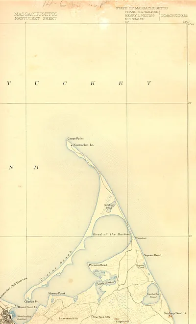 Massachusetts Nantucket Sheet, State of Massachusetts map
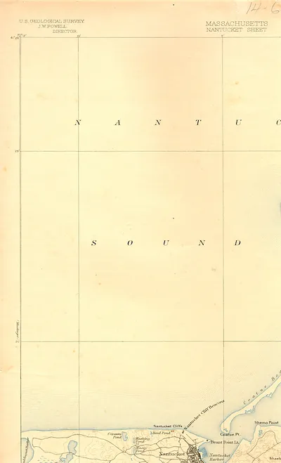 nant93nw
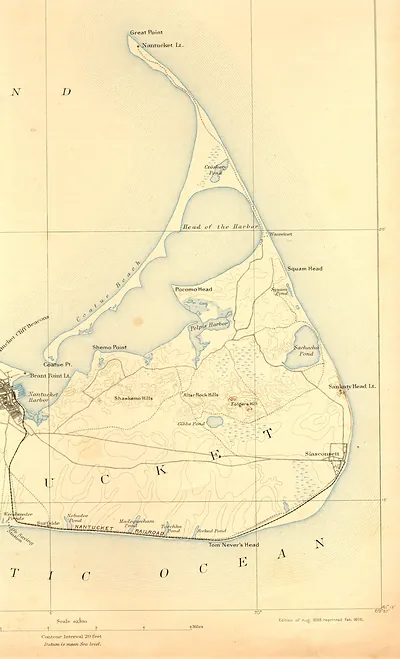 USGS topographic map of Nantucket Island, 1893 edition
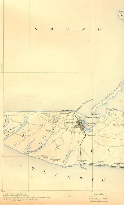 Topographic map of Nantucket island, 1887 survey
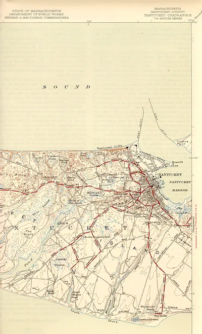 Nantucket Quadrangle topographic map, Massachusetts, 7.5-minute series
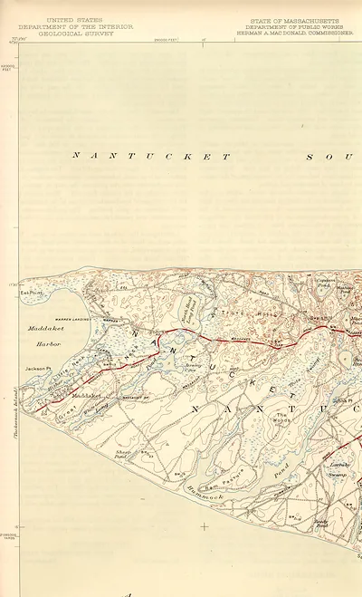 USGS topographic map of Nantucket, Maddaket and Eel Point area
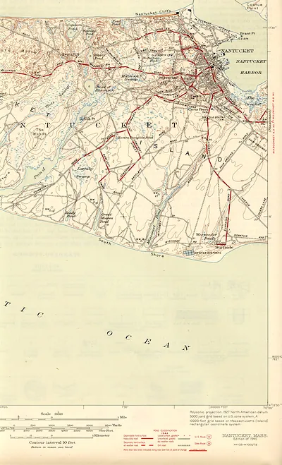 Nantucket, Massachusetts topographic map, 1945 edition
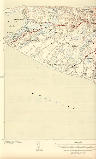 Topographic map of Nantucket showing Maddaket Harbor and Eel Point
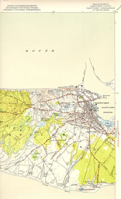 Massachusetts Nantucket Quadrangle topographic map, 7.5-minute series
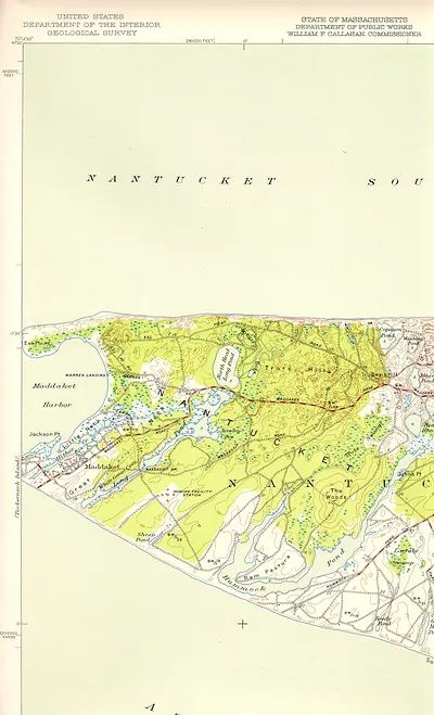 USGS topographic map of western Nantucket, Massachusetts
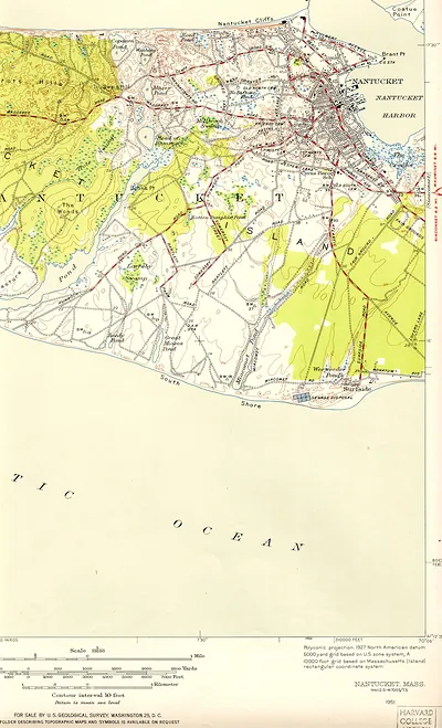 Nantucket, Mass. topographic map, 1951 USGS sheet
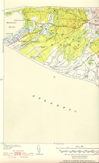 USGS topographic map of Nantucket, Maddaket Harbor area