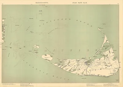
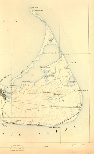
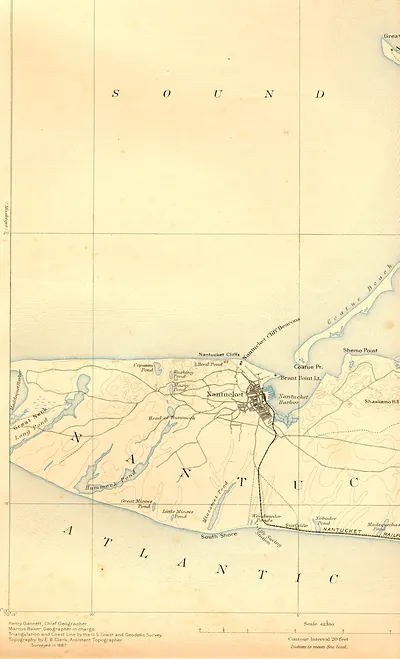
Historic chart of Nantucket Island and Martha's Vineyard – Vintage Print

(Each image is professionally and digitally cleaned of artifacts such as color bars and extra borders prior to printing.)
Description
Few images capture their era like this historic image of Historic chart of Nantucket Island and Martha's Vineyard. It comes from the Snapshots of the Past collection, curated over 25 years for its historical value.
Order it framed and ready to hang, or unframed to match a frame you already love. Perfect for a home, office, library or classroom wall, and a gift with a story behind it. Free shipping in the lower 48 states. Snapshots of the Past has been bringing history to the wall since 2001, for tens of thousands of customers worldwide.
Historic chart of Nantucket Island and Martha's Vineyard
Order a print
Thank you. Your order went through, and a receipt is on its way by email.
Secure checkout · SSL encryptedPowered by Stripe and PayPal
Free shipping in the lower 48 states. The checkout page shows the picture, size and price before you pay.
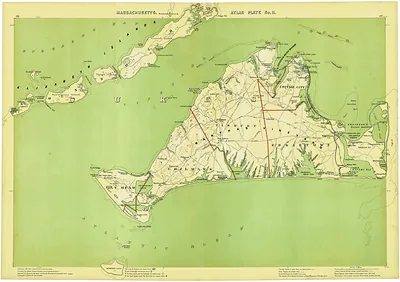
Nantucket and Martha's Vineyard appear together on this chart, which sets it apart from the coastal views around them. The two islands lie south of Cape Cod, with Nantucket Sound and Vineyard Sound separating them from the mainland and from each other. Both communities built much of their early wealth on whaling in the 1700s and 1800s, and their harbors grew around ships bound for distant oceans. Charts of this coast were essential to mariners, who had to navigate the shoals and sandbars that made the waters around the islands treacherous. Today the islands are better known for summer visitors, but the shoreline still reflects its long working maritime past.
| Original scan | 12,889 × 9,119 px · prints to 43 × 30 in at 300 dpi |
|---|---|
| Reference | ar097600[Chart of Nantucket Island and the eastern half of Martha's Vineyard. |
More from the Cape Cod National Seashore collection
Snapshots of the Past helps heritage brands, museums, historians and storytellers tell stories with history: historic prints, image licensing and historical storytelling drawn from more than 25 years of research and curation.