Virginia
95 historic pictures in the Virginia collection, in 2 sections, part of Cities. Each one can be ordered as a print or licensed, and the collection is a starting point for telling stories about the past.
Open the interactive boardSkyline Drive was built to be looked at from. The road runs about 105 miles along the crest of the Blue Ridge through Shenandoah National Park, and nearly every turn was planned around a view. There are more than 70 overlooks, each one a place to pull off and see the Shenandoah Valley spread out on one side or the Piedmont rolling away on the other.
Construction began in 1931 and ran through the decade. Much of the stonework, the low walls along the edge, the overlooks and the trails was done by young men in the Civilian Conservation Corps, the New Deal program that put the unemployed to work in parks and forests. Shenandoah National Park was established in 1935, and the drive was completed in 1939.
There is a harder side to the story. The land for the park was not empty. Several hundred families lived in the mountain hollows, farming small plots, and the state of Virginia acquired their land and moved them out. Photographers documented some of those families and their homes before they left, and those pictures sit quietly alongside the scenic views.
The rest of Virginia carries more history than almost any other state. Jamestown was founded in 1607. Williamsburg was the colonial capital. Washington lived at Mount Vernon and Jefferson at Monticello. Richmond was the capital of the Confederacy, and more Civil War battles were fought in Virginia than anywhere else. Pictures from the state tend to divide along those lines, between colonial houses and churches, Civil War fields and ruins, and the tobacco farms and small towns of everyday life.
In the Skyline Drive pictures, look at how young the trees are. Much of the Blue Ridge had been logged, farmed and grazed before the park was created, and photographs from the 1930s often show open slopes and thin second growth where there is thick forest today. The park was in a real sense allowed to grow back.
Virginia
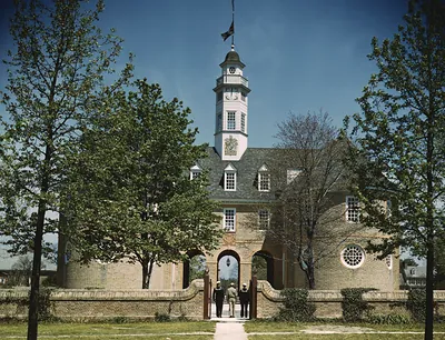 The Capitol of the Virginia Colony, Williamsburg
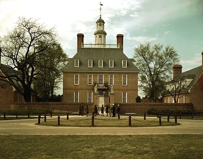 The Governor's Palace, Williamsburg, Va
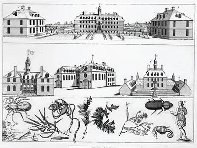 [Williamsburg, Va., ca 1740] ([no date recorded on)
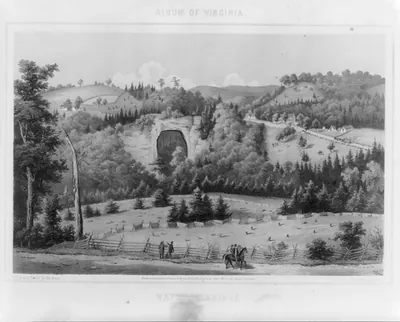 Natural Bridge
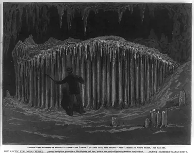 Virginia - The Grandest of American Caverns ... Luray Cave, Page County - The Organ (1879)
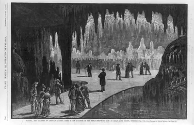 Virginia - grandest of American caverns - scene in the ballroom in the newly-discovered ca (1878)
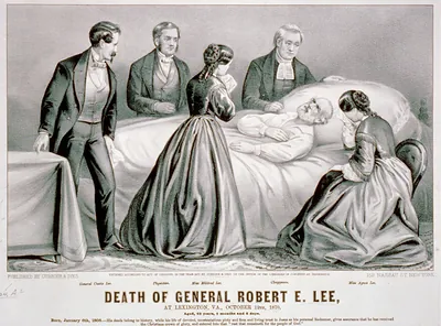 Death of General Robert E. Lee: At Lexington, Va., October 12th, 1870, aged, 62 years, 8 m ([New York] : Currier)
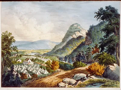 The valley of the Shenandoah (New York : Published)
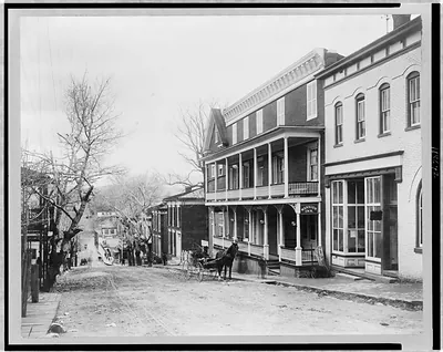 [Street view, with Mansion Inn in foreground, Luray, Virginia] (c1906.)
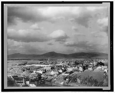 [Aerial view of Luray, Virginia] (c1906.)
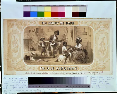 Oh carry me back to ole Virginny / Lith. & printed in colors by Robertson, Seibert & Shear (New York : Robertson)
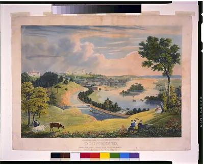 Richmond, from the hill above the waterworks / engraved by W.J. Bennett from a painting by (New York : Published)
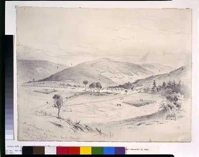 Front Royal Va.--The Union Army under Banks entering the town (1862 May 20.)
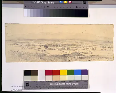 View of Winchester, Va., from fort on the hill N.E. of the town / EF. (1862 July 20.)
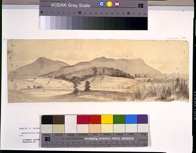 Massanutten Mountain, near Strasburg, Va., looking S.W. / EF. (1862 July 4.)
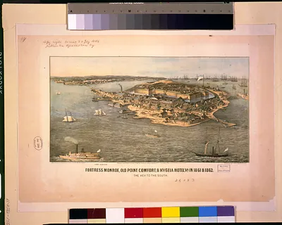 Fortress Monroe, Old Point Comfort, & Hygeia Hotel, Va. in 1861 & 1862--The key to the Sou (Washington, D.C. : C)
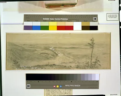 Shenandoah Valley from Maryland heights ([1864])
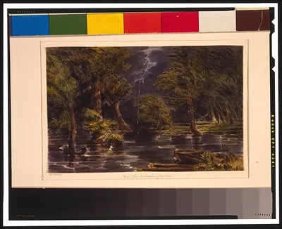 The Chickahominy Swamp ([1862])
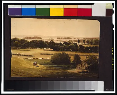 Pamunkey River / McIlvaine. (1864)
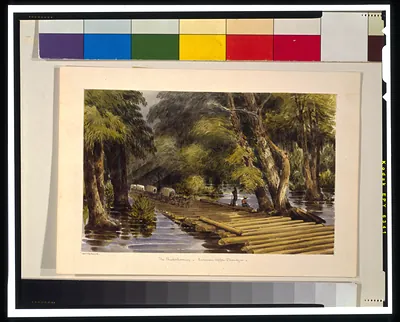 The Chickahominy - Sumners Upper Bridge ([1862])
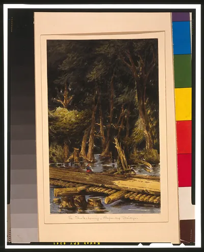 The Chickahominy - Alexanders Bridge / McIlvaine. (1862)
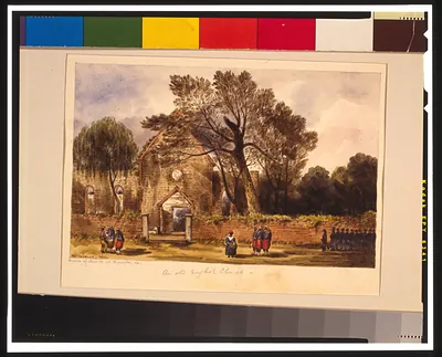 Ruins of church at Hampton, Va. / McIlvaine. (1862)
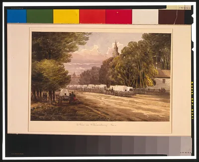 A view in Williamsburg, Va. / McIlvaine. (1862)
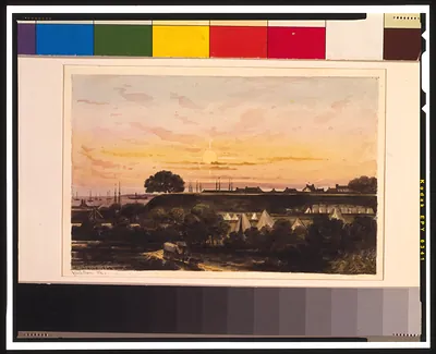 Yorktown, Va. / McIlvaine. (1862)
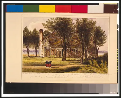 The Moore House near Yorktown, Va. (Rear) / McIlvaine. (1862)
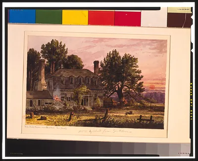 The Moore House near Yorktown, Va. (Front) / McIlvaine. (1862)
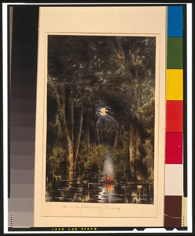 View in the Chickahominy Swamp / McIlvaine. (1862)
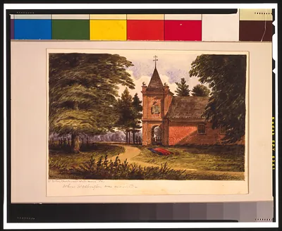 St. Peters Church, near White House, Va. / McIlvaine. (1862)
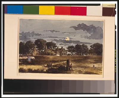 Yorktown, Va. / McIlvaine. (1862)
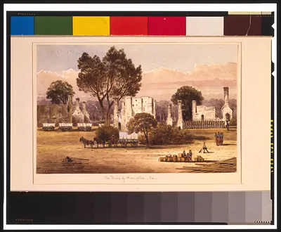 The ruins of Hampton, Va. / McIlvaine. (1862)
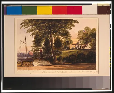 The White House - Pamunkey River, Va. / McIlvaine. (1862)
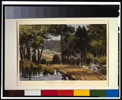 The Chickahominy - Alexanders Bridge / McIlvaine. (1862)
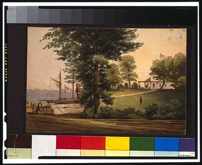 White House - Pamunkey River / McIlvaine. (1864)
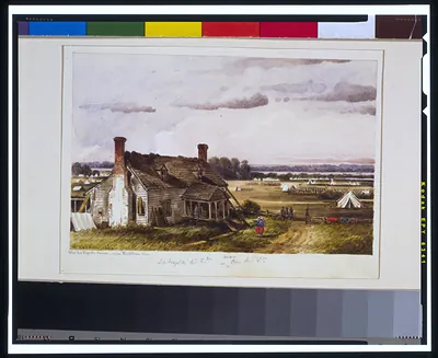 The LaFayette House near Yorktown, Va. / McIlvaine. (1862)
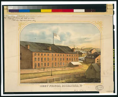 Libby Prison, Richmond, Va. / sketched by W.C. Schwartzburg, Co. A, 24th Wis. Vols. ; lith (Published by J.L. Ba)
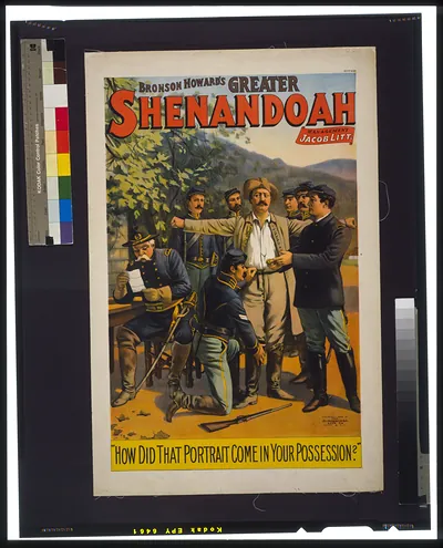 Shenandoah. (Cin'ti ; N.Y. : Stro)
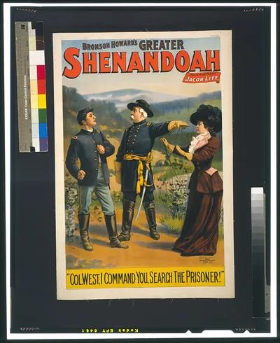 Shenandoah. (Cin'ti ; N.Y. : Stro)
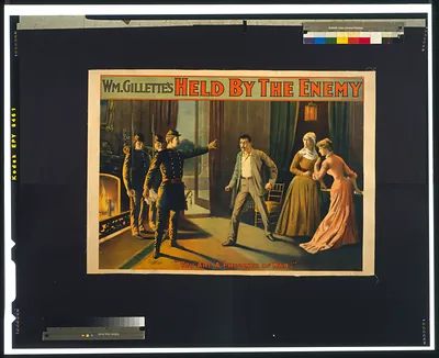 Held by the enemy. (Cin'ti ; N.Y. : Stro)
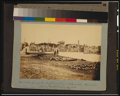 View taken from south side of canal basin, Richmond, Va., - April, 1865--showing Capitol, ([photographed 1865, )
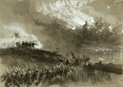 Shenandoah Valley, Sept. 1864 (1864 September.)
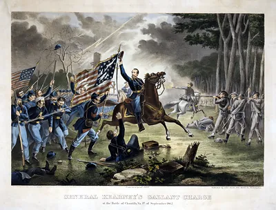 General Kearney's gallant charge, at the Battle of Chantilly, Va., 1st of September 1862 / (Philadelphia : John )
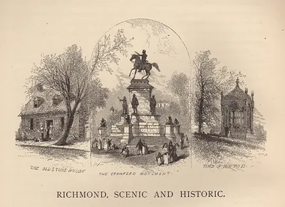 Richmond, Scenic and Historic
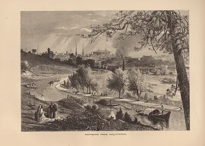 Richmond from Hollywood
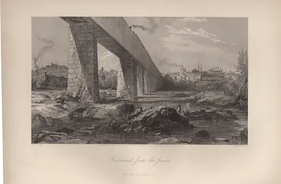 Richmond from the James
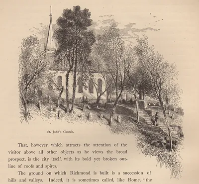 VA St. Johns Church Richmond Virginia
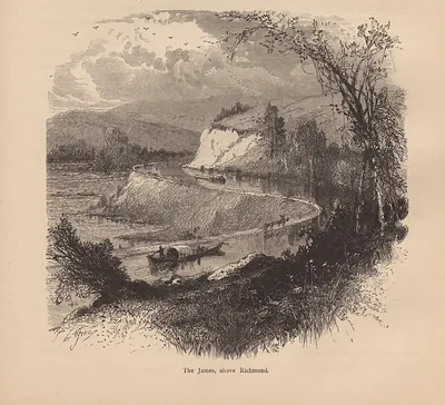 The James, above Richmond
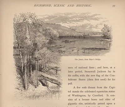 The James, from Mayo's Bridge
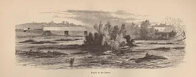 VA Rapids in the James River
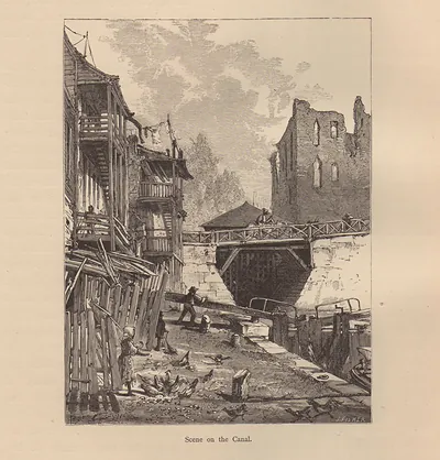 Scene on the Canal
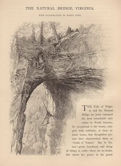 The Natural Bridge, Virginia, with illustrations by Harry Fenn
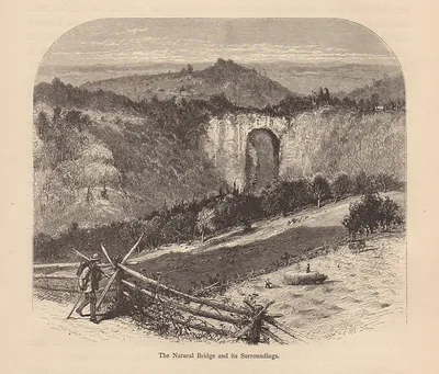 The Natural Bridge and its Surroundings
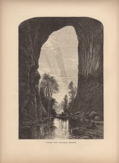 Under the Natural Bridge
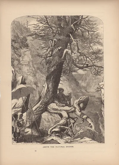 Above the Natural Bridge
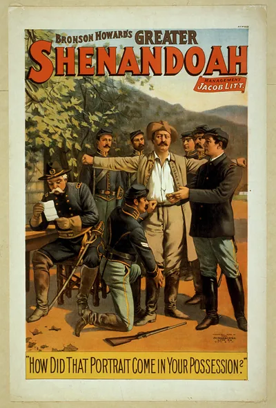 Greater Shenandoah theatre poster: How Did That Portrait Come In Your Possession?
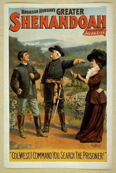 Bronson Howard's Greater Shenandoah theatre poster
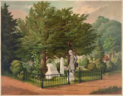 General Lee's last visit to Stonewall Jackson's grave ([1872])
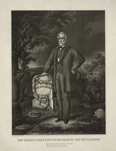 Genl. Robert E. Lee's visit to the grave of Genl. Thos. J. Jackson (c1869.)
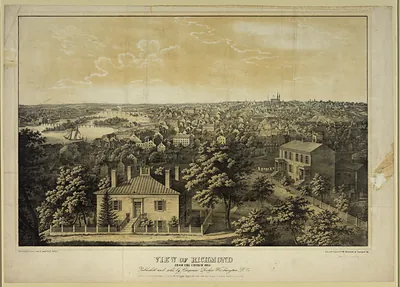 View of Richmond from Church Hill
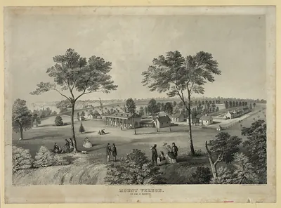 Mount Vernon, The Home of Washington
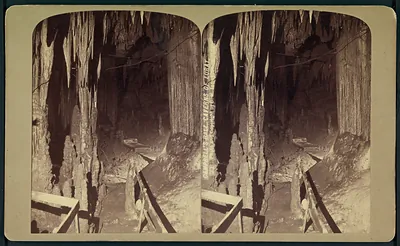 Campbell's Hall. Caverns of Luray
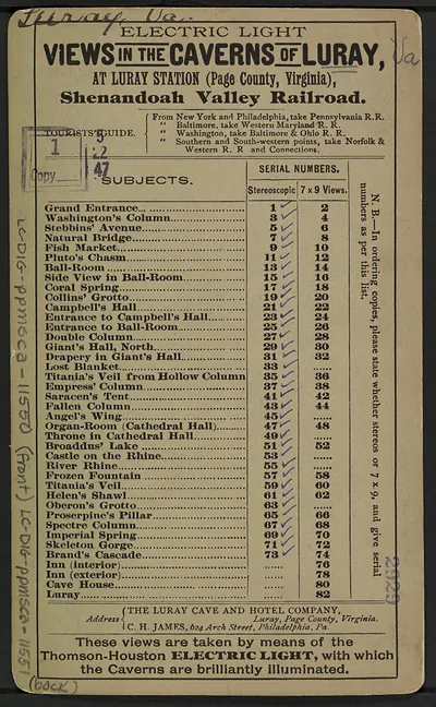 Electric Light Views of the Caverns of Luray, subject list
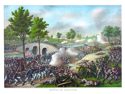 Battle of Antietam--Army of the Potomac: Gen. Geo. B. McClellan, comm., Sept. 17' 1862 ... (c1888.)
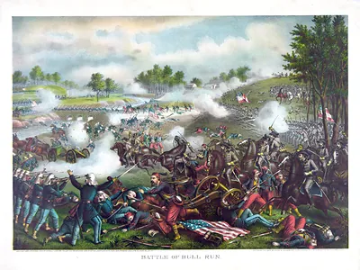 Battle of Bull Run--July 21st 1861--Federal (Gen. McDowell) ... Confederate (Gen. Beaurega (c1889, c1890.)
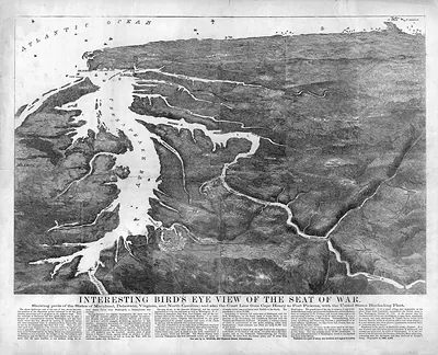 Interesting Bird's Eye View of the Seat of War
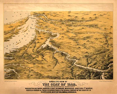 Birds Eye View of the Seat of War
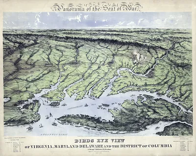 Panorama of the Seat of War: Birds Eye View of Virginia, Maryland, Delaware and the Distri
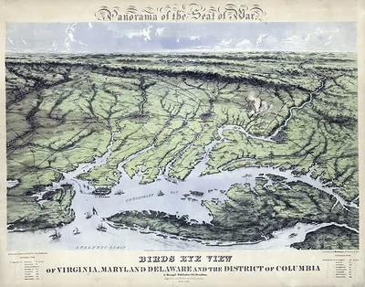 Bird's Eye View of Virginia, Maryland, Delaware, DC
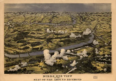 Birds Eye View of the Seat of War Around Richmond
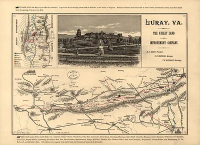 Map of the Valley of Virginia with Luray Inn view
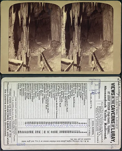 Stereograph card: Views in the Caverns of Luray, Shenandoah Valley Railroad
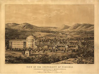 VA Charlottesville 1856 MAP (1856)
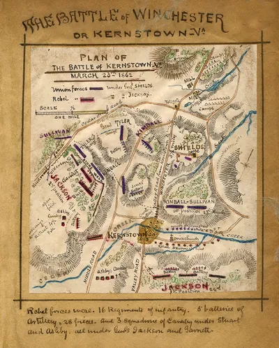 vhs00077Plan of the Battle of Kernstown, Va. March 23rd (1862)
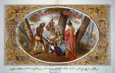 Powhatan brand / lith. of Sarony, Major & Knapp. (N.Y. : Lith. of Saro)
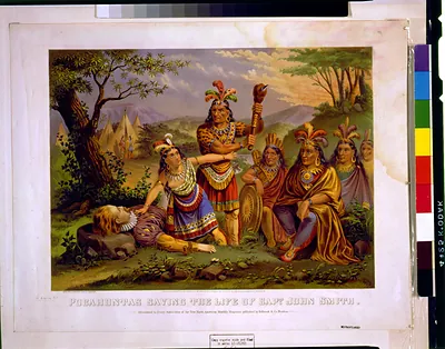 Pocahontas saving the life of Capt. John Smith / New England Chromo. Lith. Co. (Boston : New Eng. Ch)
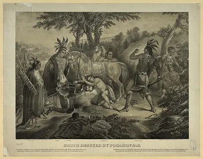 Smith Rescued by Pocahontas
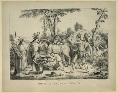 Smith Rescued by Pocahontas, lithograph print
Skyline Drive
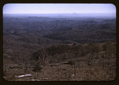 Hazy forested mountain ridges viewed from a bare hillside
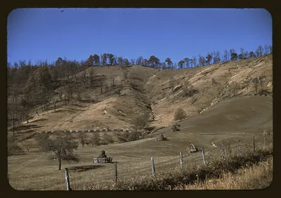 Hillside farm landscape with fences and a seated figure
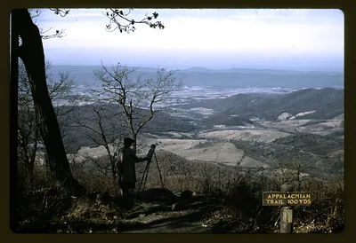 Person with tripod at overlook above valley, Appalachian Trail sign
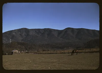 Horse grazing in a field below a wooded mountain ridge
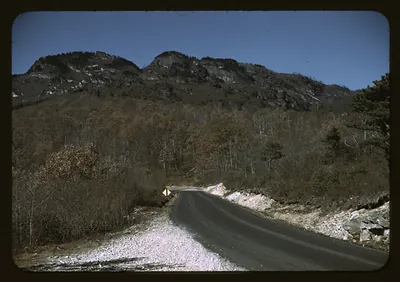 Winding mountain road beneath a rocky, wooded peak
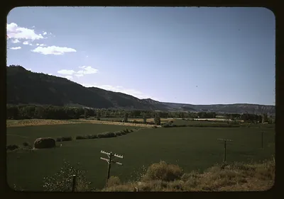 Irrigated green fields and hay bale below a mesa
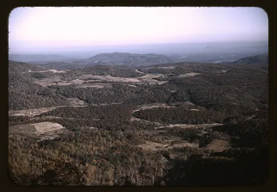 Forested mountain valley with winding roads seen from overlook
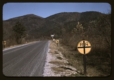 Paved mountain road with railroad crossing signs and wooded hills
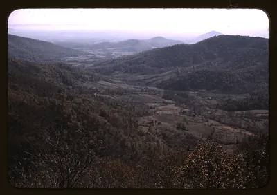 Forested mountain valley with farmland seen from an overlook
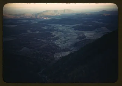 Mountain valley with farms seen from a high overlook
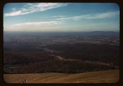 Wooded valley and distant town seen from a ridge overlook
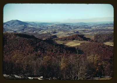 Autumn forested mountain ridges and valley farmland
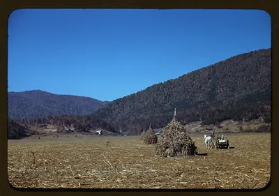 Haystacks and horse-drawn wagon in a mountain valley field
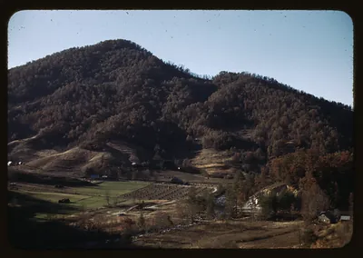 Forested mountain above a valley of farm fields
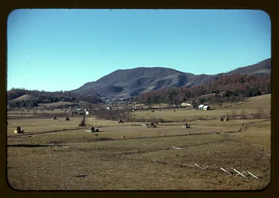 Valley farm with haystacks and mountains under blue sky
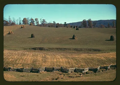 Hay shocks on rolling hillside behind split-rail fence
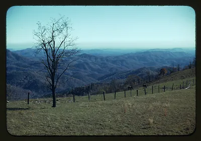 Mountain overlook with bare tree, fence and grazing horses
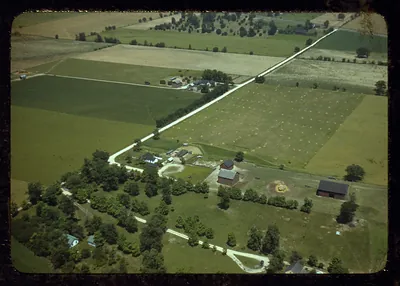 Aerial view of farmland with farm buildings and country roads
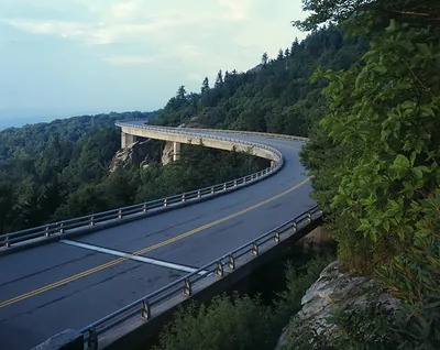 Curved concrete viaduct winding through forested mountain slopes