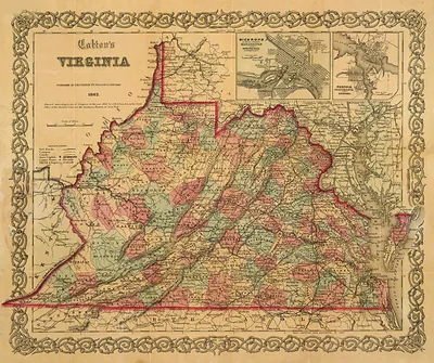
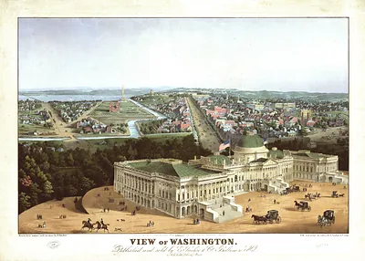
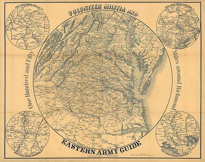
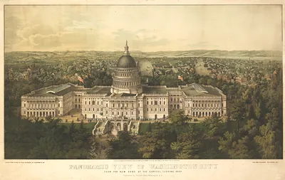
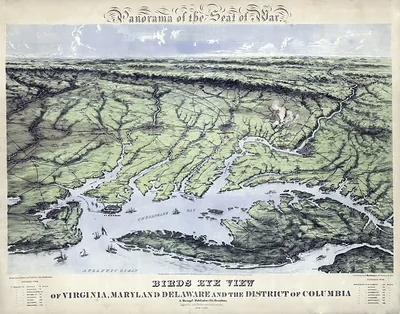
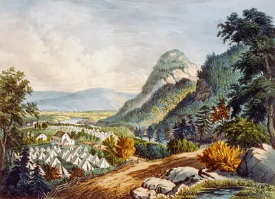
Map of the Valley of Virginia with Luray Inn view – Historic Map Reproduction

(Each image is professionally and digitally cleaned of artifacts such as color bars and extra borders prior to printing.)
Description
This antique map of Map of the Valley of Virginia with Luray Inn view brings a moment of history to your wall. Drawn from the Snapshots of the Past archive, it is an authentic piece of documented history.
Framed, it is ready for the wall; unframed, it is ready for the frame you choose. It brings character to any room and makes a memorable gift. Free shipping in the lower 48 states. Snapshots of the Past has been bringing history to the wall since 2001, for tens of thousands of customers worldwide.
Map of the Valley of Virginia with Luray Inn view
Order a print
Thank you. Your order went through, and a receipt is on its way by email.
Secure checkout · SSL encryptedPowered by Stripe and PayPal
Free shipping in the lower 48 states. The checkout page shows the picture, size and price before you pay.
Few views in the Shenandoah region pair a regional map with a hotel scene quite like this one, which places the Luray Inn beside the broader geography of the Valley of Virginia. Luray sits in Page County, near the caverns that drew visitors to the area in the later nineteenth century. Maps like this often served travelers and promoters, showing how a resort town connected to the valley's farms, rail lines and mountain scenery. Comparing the inset view with the surrounding map shows how the town was presented as both a destination and a gateway.
| Original scan | 4,706 × 3,407 px · prints to 16 × 11 in at 300 dpi |
|---|---|
| Reference | cw0655000 Luray Lee's map of the Valley of Virginia |
More from the Blue Ridge Parkway collection
Snapshots of the Past helps heritage brands, museums, historians and storytellers tell stories with history: historic prints, image licensing and historical storytelling drawn from more than 25 years of research and curation.